Südhessen-Route 14
OpenStreetMap kaynaklı güzergâh kaydı. Konumu haritada inceleyin ve özgün GPX dosyasını indirin.
58,1 km kayıtlı çizgi
Ülke Atlası
110.252 rota ve ağ kaydı ve 80 görsel ile ülkeyi keşfedin. Ağ bağlantılarını rota listesindeki ayrı filtreyle görüntüleyebilirsiniz. Fotoğraflardan güzergâhlara, kendi yolculuğunuzu kurun.
Bu ülkenin kaynak arşivindeki 1756 kayıtta eksik geometri veya çözümlenmemiş üyeler bulunuyor; bu kayıtlar rota listesine alınmadı.
80 görsellik ülke arşivi
Çevre, konu bağlantılı ve hava/uzay görsellerini ayrı filtreleyin. Görselleri büyüterek kaynak açıklamalarını ve lisanslarını inceleyin.
80 görsel
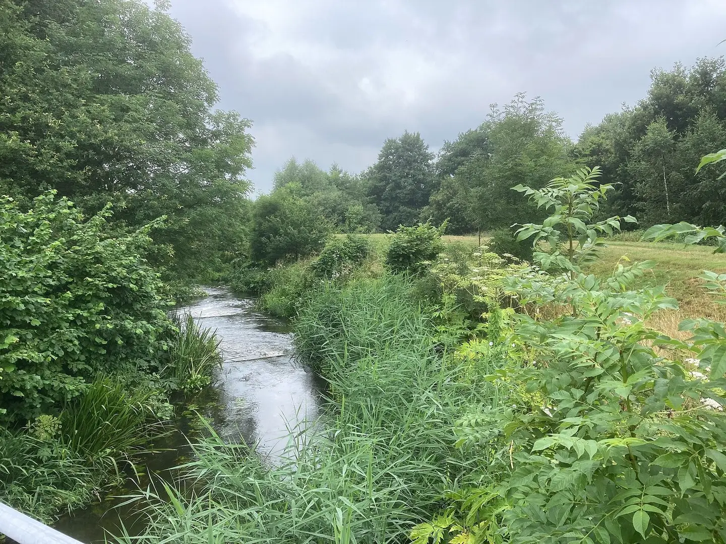
Gramsbergen Vechtpark Hardenberg Loozen Loozenlinie
Ahospers · CC BY-SA 4.0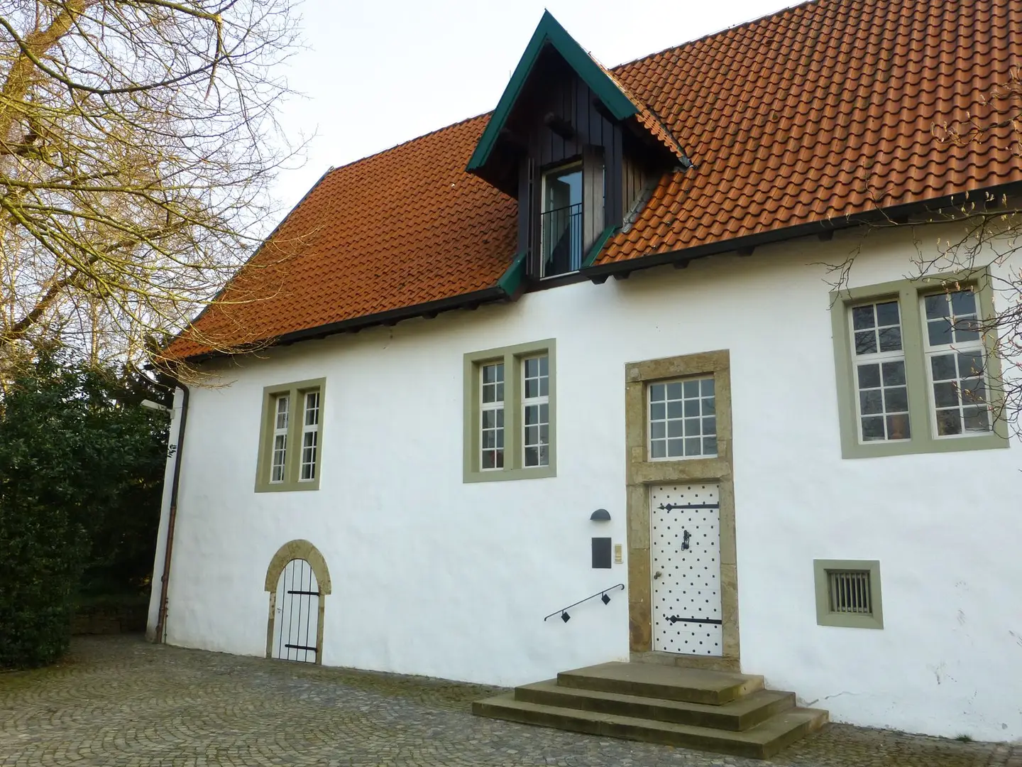
Haus Bissendorf von Nordwesten
Castritus · CC BY-SA 4.0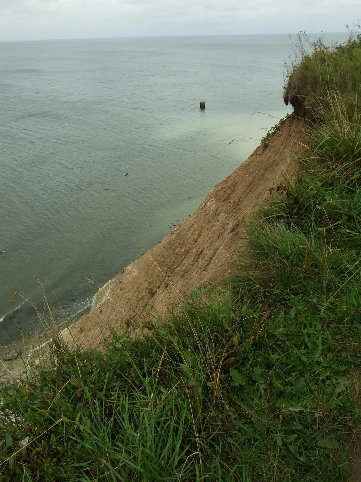
Sandstone beaches at Cape Arkona, Rügen Island, Germany
I would appreciate being notified if you use my work outside Wikimedia. More of my work can be found in my personal gallery. · CC BY 3.0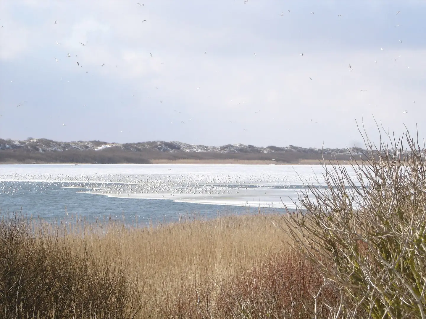
Lake Hammersee on Juist Island in Winter with several thousand seagulls on the ice.
Arne Hückelheim · CC BY-SA 3.0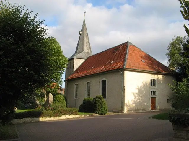
St.-Georgskirche, Warberg
Jonathan Wilkins · CC BY-SA 2.0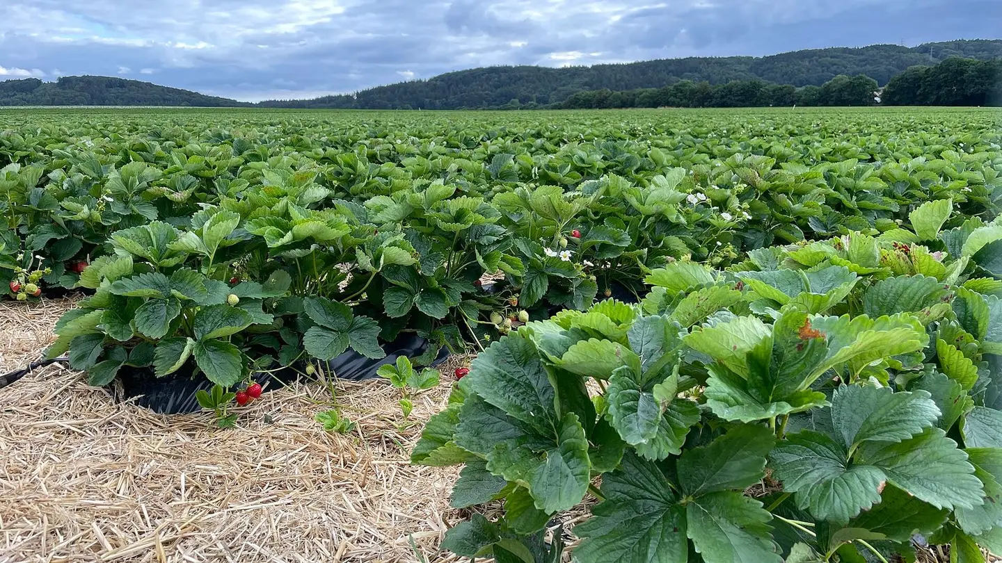
Farming
Rüdiger Müller · CC BY-SA 4.0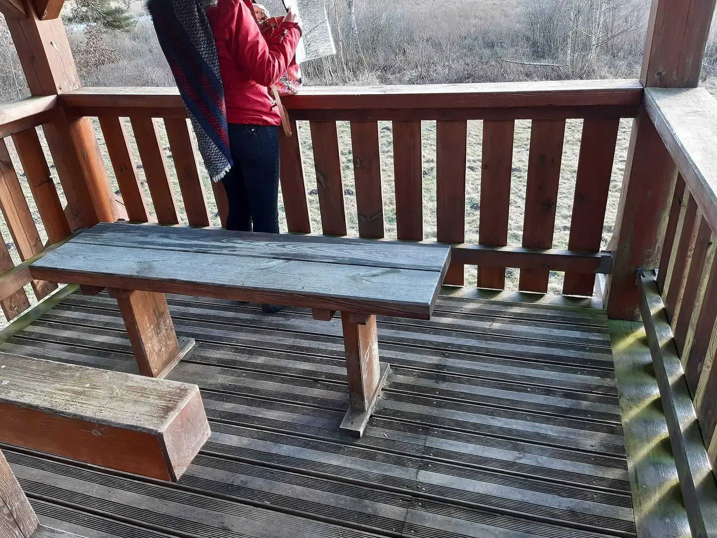
Vogelbeobachtungsturm im Leinschlag bei Freihung; Plattform
Blauloke · CC BY-SA 4.0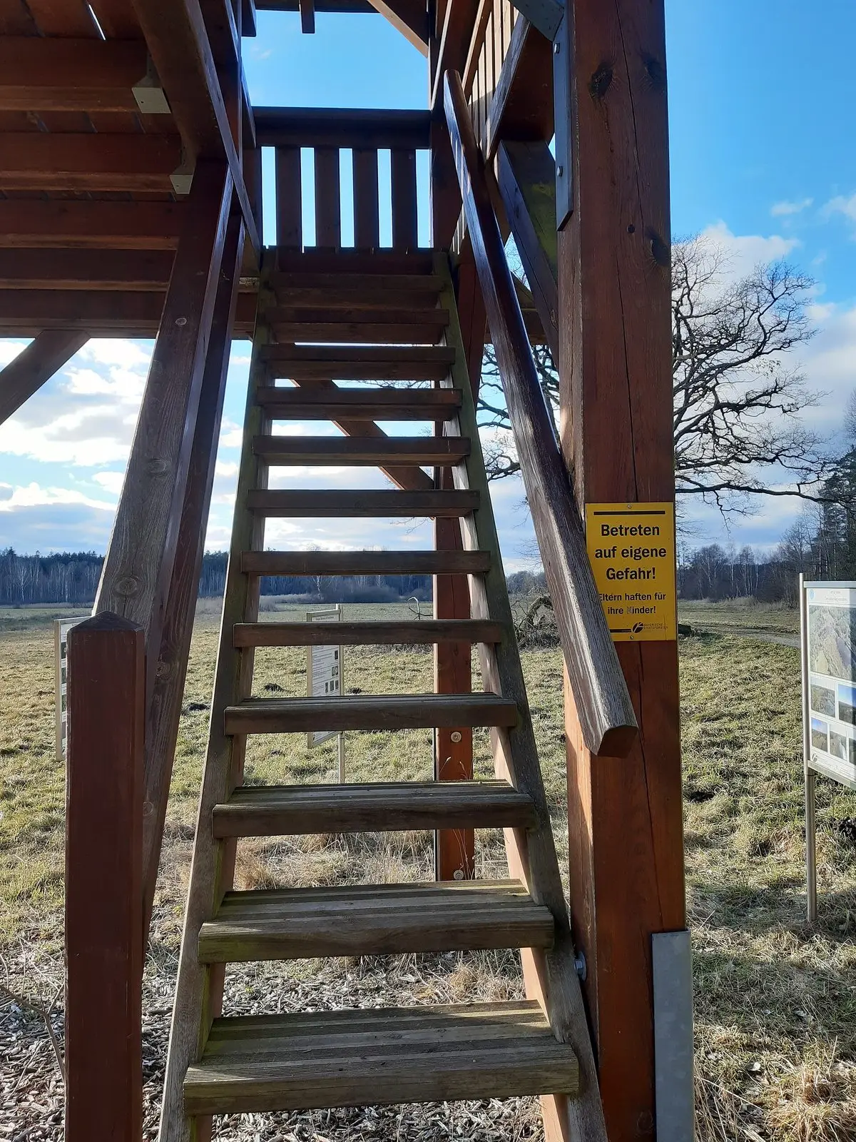
Vogelbeobachtungsturm im Leinschlag bei Freihung; Treppenaufgang
Blauloke · CC BY-SA 4.0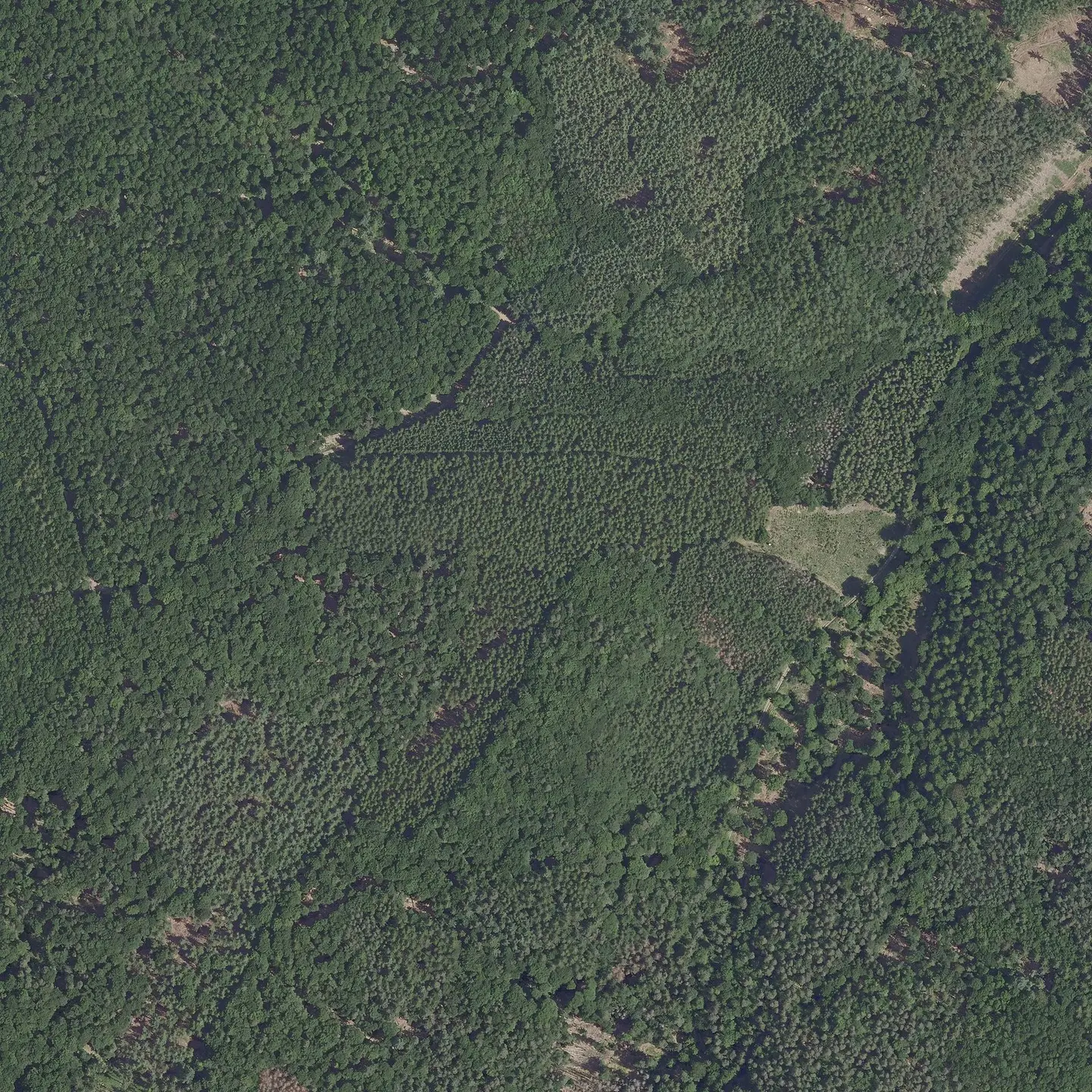
Digital orthophoto of Märkisch-Oderland in Brandenburg. One pixel is 20cm long. The three channels red, green and blue are available. The last numbers represent the coordinates (EPSG). In contrast to the GeoTIFF file, this is a compressed version with limited content (less geodata). This file is more suitable for mere display, the GeoTIFF file is more suitable for working with GIS programs such as QGIS. The corresponding TIF version can be retrieved by making the following changes to the URL: RGB→RGBI, .jpg→.tif. If no file is found, " (GeoBasis-DE LGB)" must be omitted from the file name (URL).
GeoBasis-DE / LGB · dl-de/by-2-0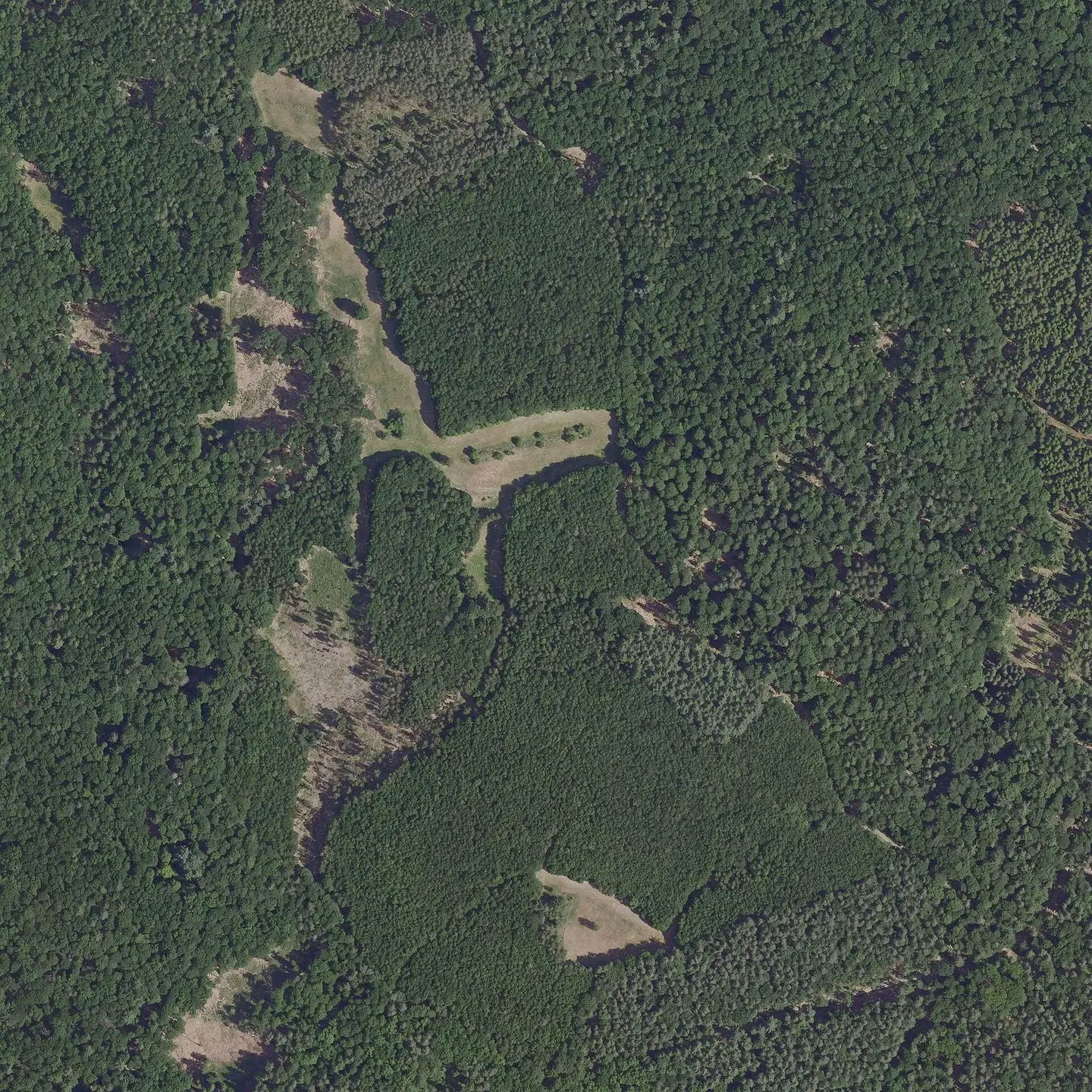
Digital orthophoto of Märkisch-Oderland in Brandenburg. One pixel is 20cm long. The three channels red, green and blue are available. The last numbers represent the coordinates (EPSG). In contrast to the GeoTIFF file, this is a compressed version with limited content (less geodata). This file is more suitable for mere display, the GeoTIFF file is more suitable for working with GIS programs such as QGIS. The corresponding TIF version can be retrieved by making the following changes to the URL: RGB→RGBI, .jpg→.tif. If no file is found, " (GeoBasis-DE LGB)" must be omitted from the file name (URL).
GeoBasis-DE / LGB · dl-de/by-2-0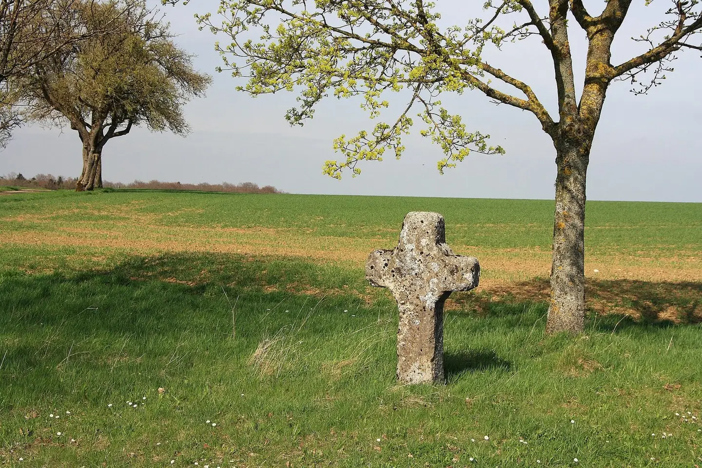
Wayside cross near Heimberg, Niederstetten.
Schorle · CC BY-SA 3.0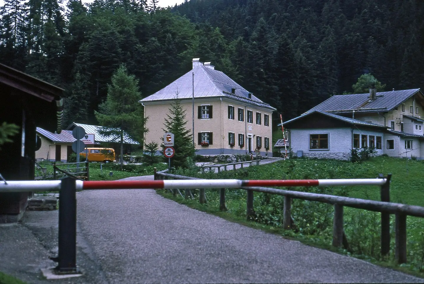
Grenzübergang D → A am Pass Hirschbichl (Blickrichtung Südwesten), der Fotograf befindet sich auf bayerischem Boden, die Gebäude hinter dem Schild mit dem Aufdruck Salzburg (Österr. Land Salzburg) stehen in Österreich. An der linken Straßenseite ist die auf der Staatsgrenze angebrachte Tafel Republik Österreich zu erkennen, auch die Tafel mit dem Wappen des Landes Salzburg steht s. wahrscheinlich direkt auf der Staatsgrenze zwischen der Bundesrepublik Deutschland und der Republik Österreich. Lt. Verbotsschild daruter war die Passstraße (um 1980) für den allgemeine Motorrad- u. Kraftwagenverkehr in Österreich auf einem bestimmmten, noch unbenannten Streckenabschnitt gesperrt. Die Straße führt
Earnest B · CC BY-SA 3.0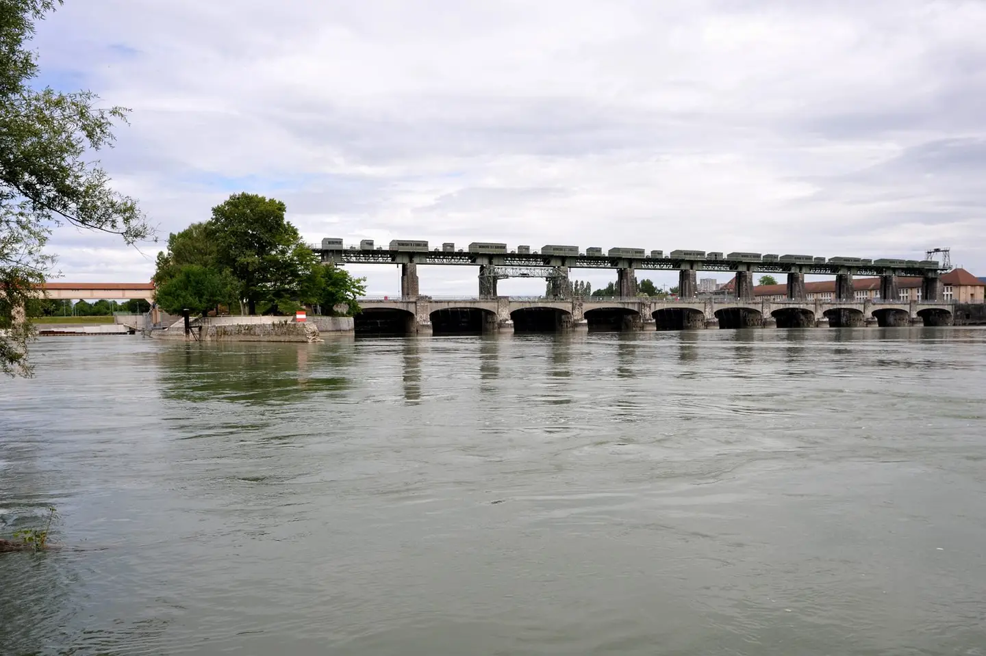
Weir bridge for the power station Augst-Wyhlen crossing the Rhine, built 1912; Basel-Landschaft, Switzerland and Baden-Württemberg, Germany. On the left the cable bridge crossing the downstream channel.
Хрюша · CC BY-SA 3.0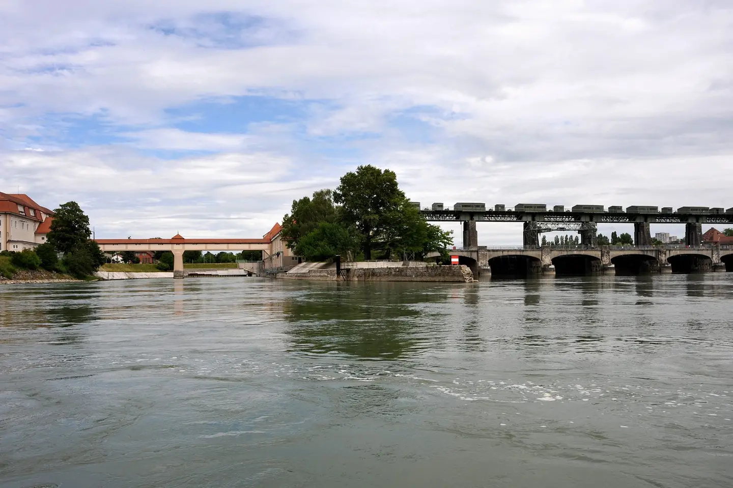
Cable bridge for the power station Augst-Wyhlen crossing the downstream channel of the Rhine, built 1910; Baden-Württemberg, Germany. On the right the weir bridge crossing the main stream.
Хрюша · CC BY-SA 3.0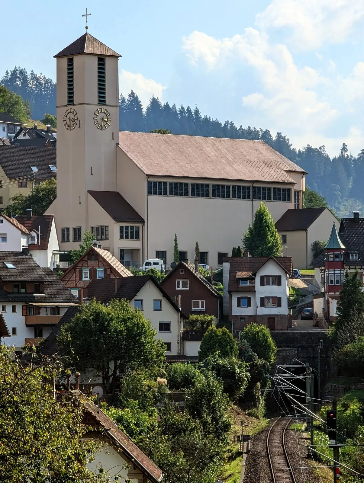
Train station in Gausbach
Gerd Eichmann · CC BY 4.0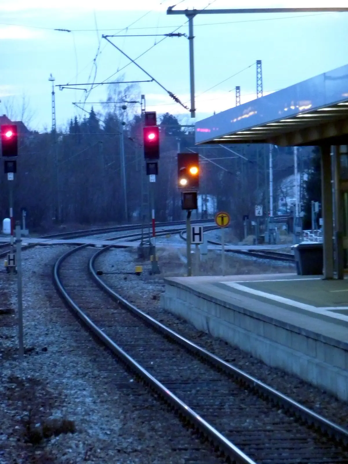
Ausfahrsignal mit Vorsignalwdh.
-benecube · CC BY-SA 3.0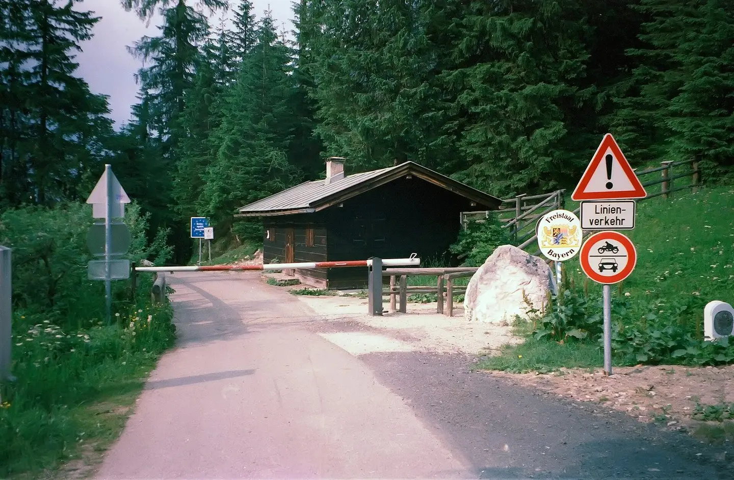
Grenzübergang A → D am Pass Hirschbichl, Blick- und Fahrtrichtung Nord-Nord-Ost (Deutschland, Freistaat Bayern). Es folgt die in nördlicher und weiter in nordöstlicher Richtung verlaufende bayerische St 2099, Hirschbichlstraße nach Ramsau b. Berchdesgaden, Siehe Darstellung der Grenzsituation in amtl. topogr. Karte 1:25.000 Hirschbichl 8442 Ausgabejahr 1992 auf BayernAtlas, mit Hinweis Hirschbichl Zollhs und Whs Mooswacht auf österreichischer, bzw. südwestlicher Seite der Staatsgrenze.
Earnest B · CC BY-SA 3.0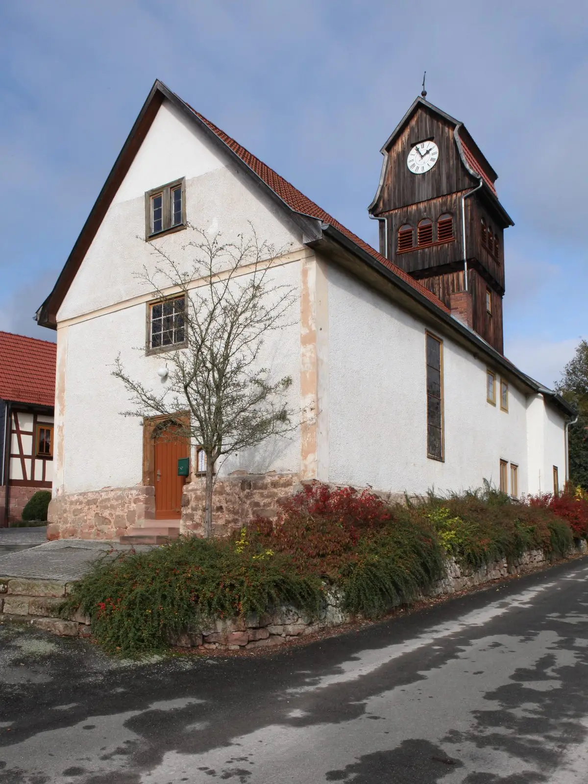
Die ev. Kirche in Helmers
Störfix · CC BY-SA 3.0 de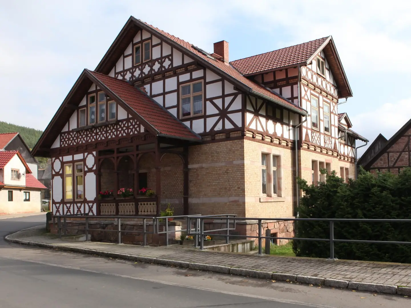
Helmers-Fachwerkhaus-01
Störfix · CC BY-SA 3.0 de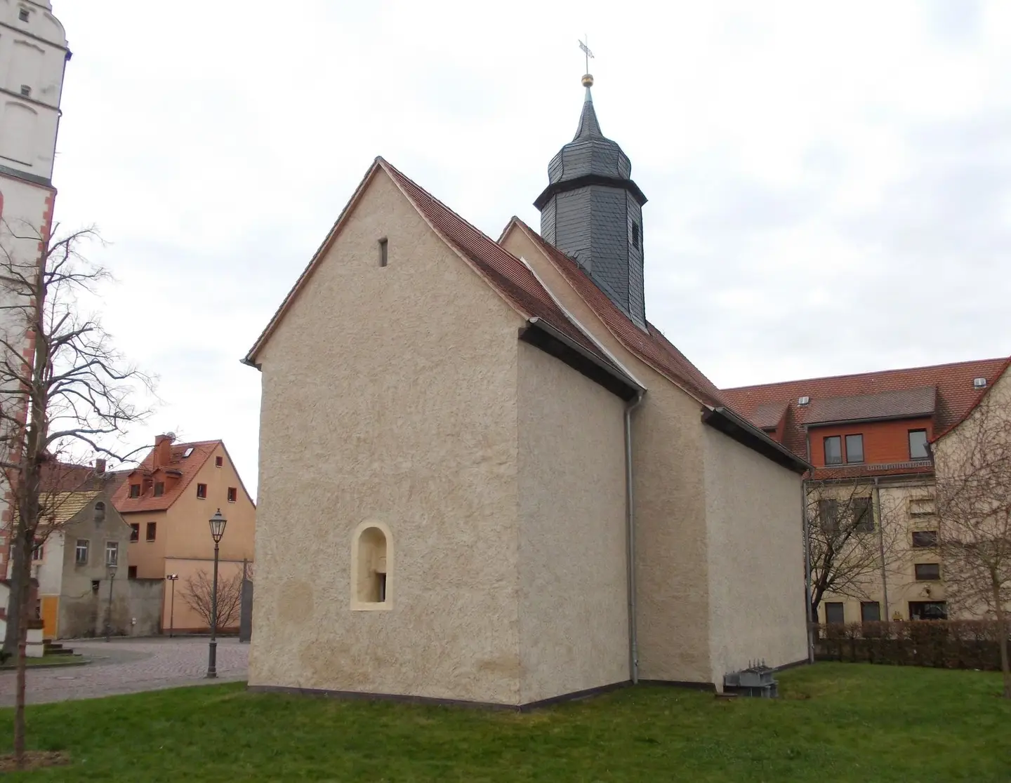
Emmaus Church in Borna (Leipzig district, Saxony), originally from Heuersdorf, a village destroyed by lignite mining.
Jwaller · CC BY-SA 3.0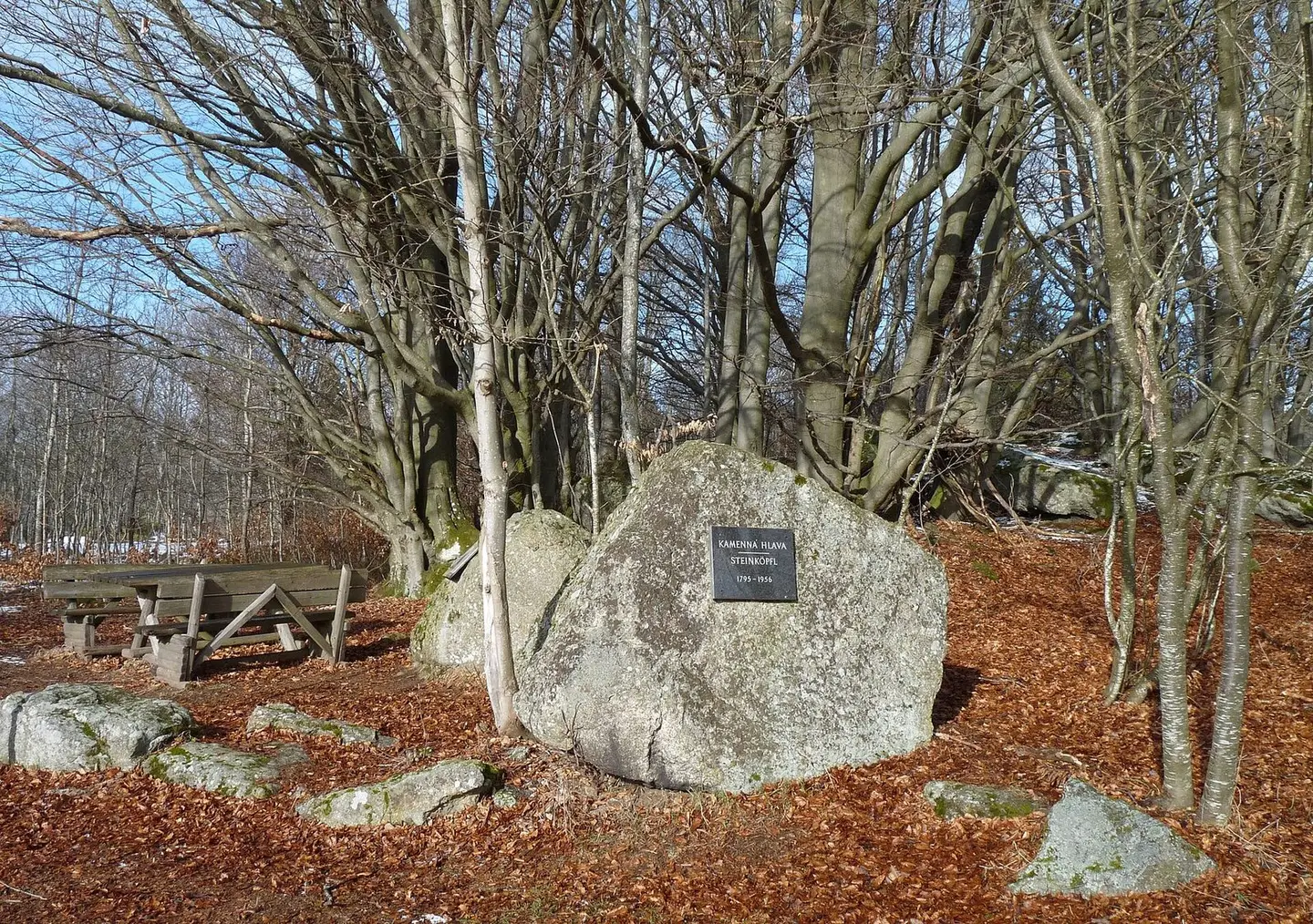
Memorial of the abandoned village of Kamenná Hlava in the Bohemian Forest, north-east of the municipality of Stožec, Prachatice District, Czech Republic.
Czeva · CC BY-SA 3.0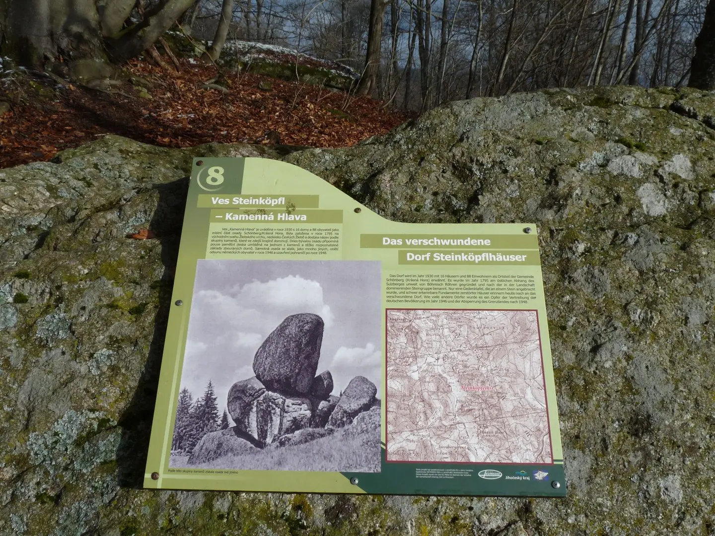
Memorial of the abandoned village of Kamenná Hlava in the Bohemian Forest, north-east of the municipality of Stožec, Prachatice District, Czech Republic - 8th stop of the educational trail Zlatá stezka (Golden Path).
Czeva · CC BY-SA 3.0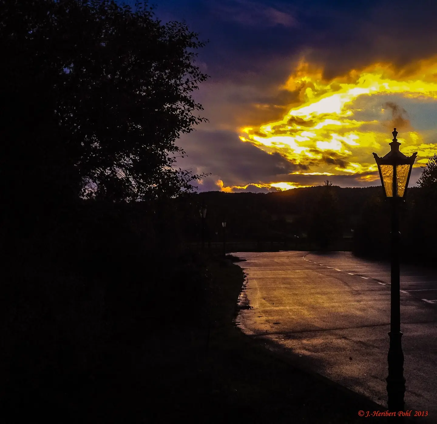
Sonnenuntergang vor dem Golf Hotel 'Haus Platte' im Reepetal, Attendorn
Heribert Pohl --- Thanks for half a million clicks! from Germering bei München, Bayern · CC BY-SA 2.0
Kirche in Frauenmark, Landkreis Parchim
Ch.Pagenkopf · CC BY-SA 3.0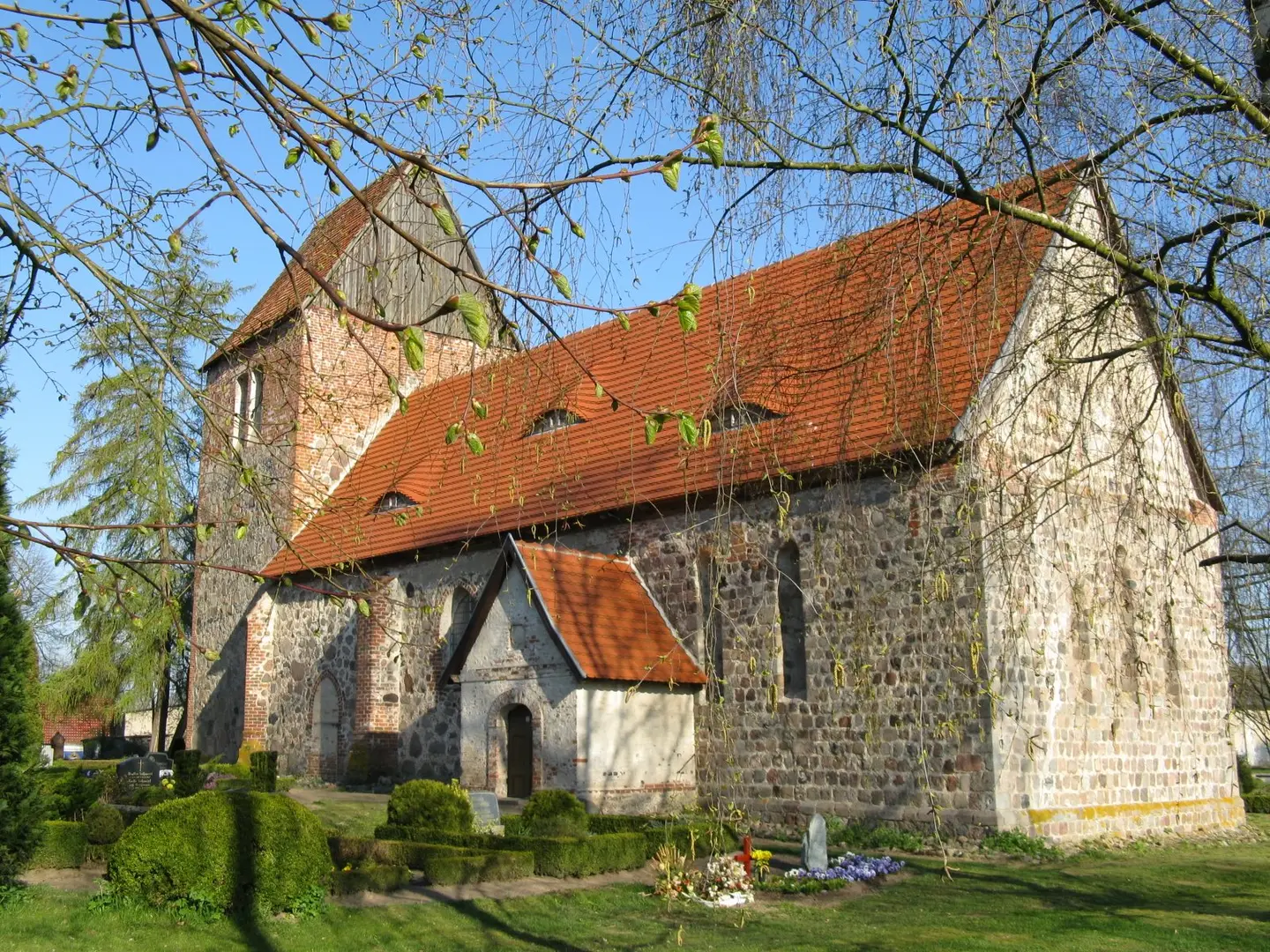
Church in Grebbin, Mecklenburg-Vorpommern, Germany
Niteshift (talk) · CC BY 3.0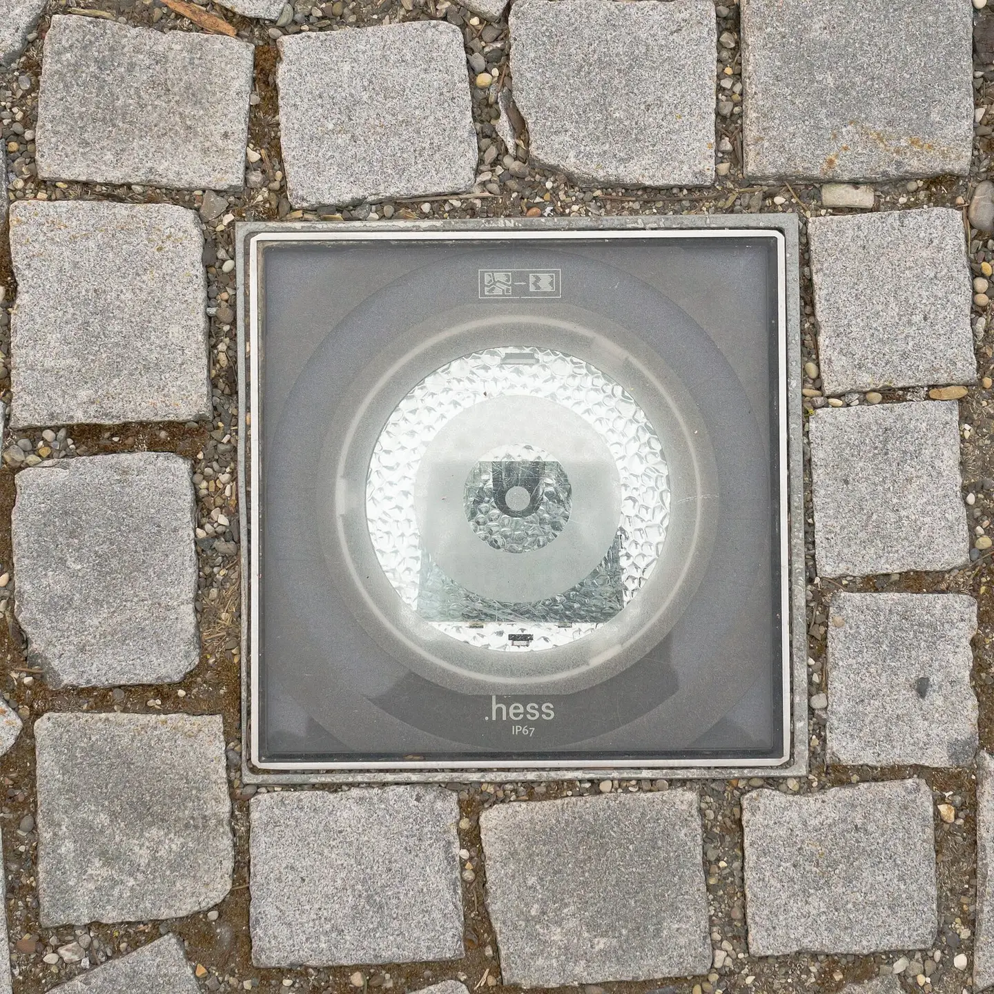
Light panel inserted into the walkway. Made by hess.
Tobias "ToMar" Maier · CC BY-SA 3.0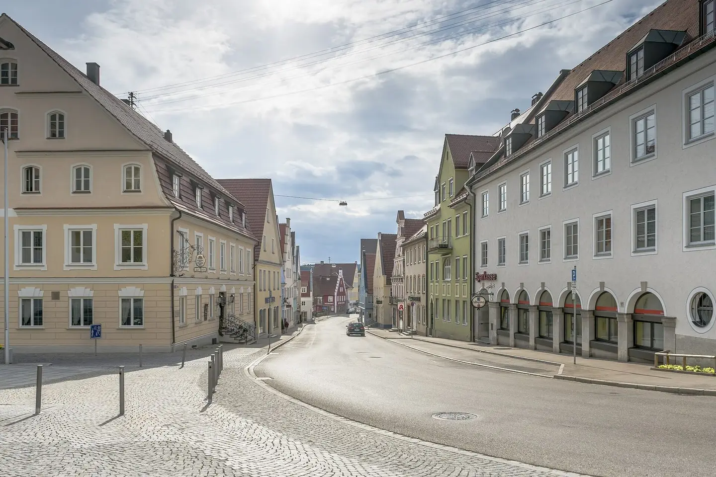
View down the so called Stadtgasse.
Tobias "ToMar" Maier · CC BY-SA 3.0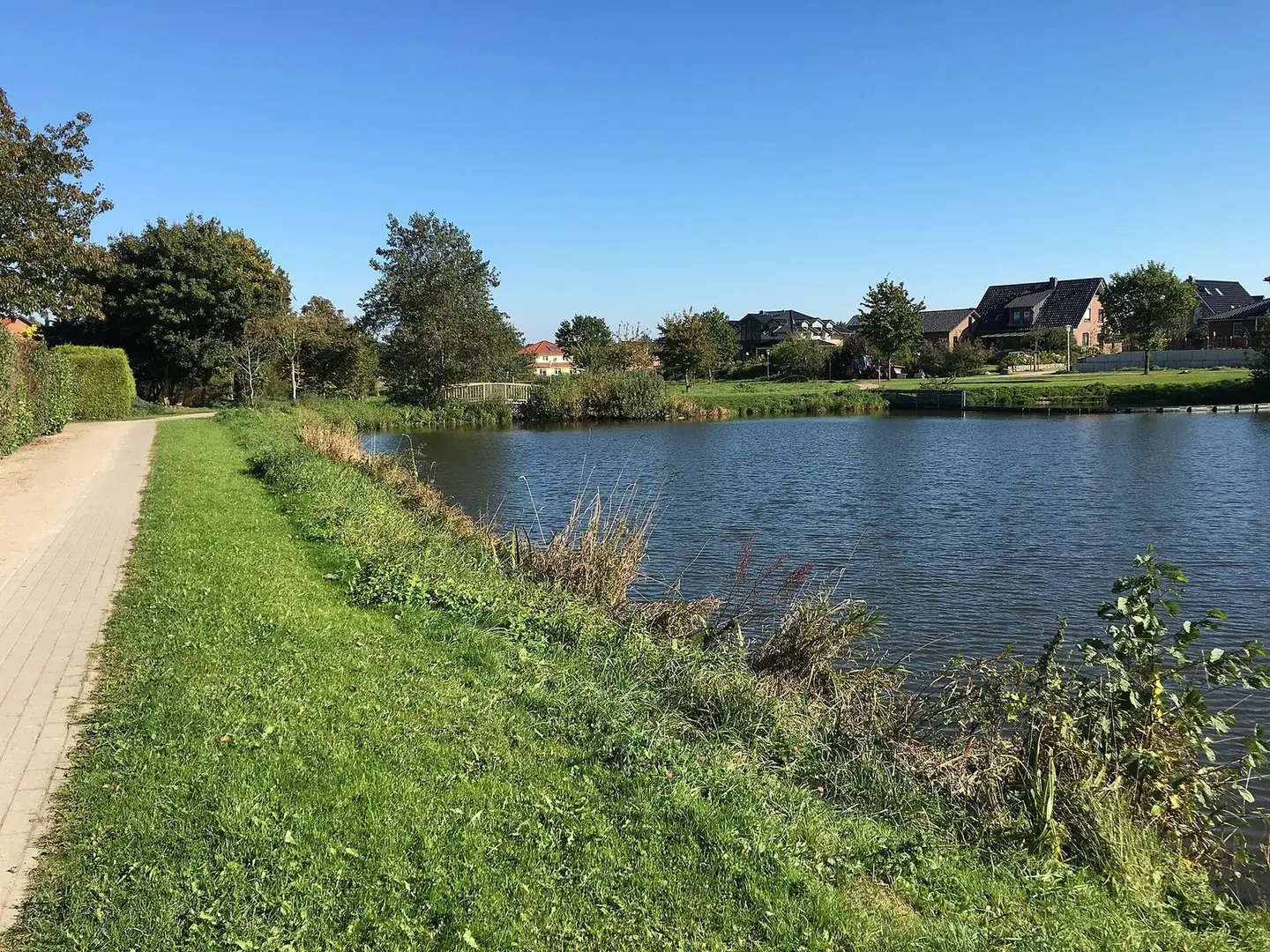
Diek an’n Rellerbeek in Harsfeld
Tadü · CC BY-SA 4.0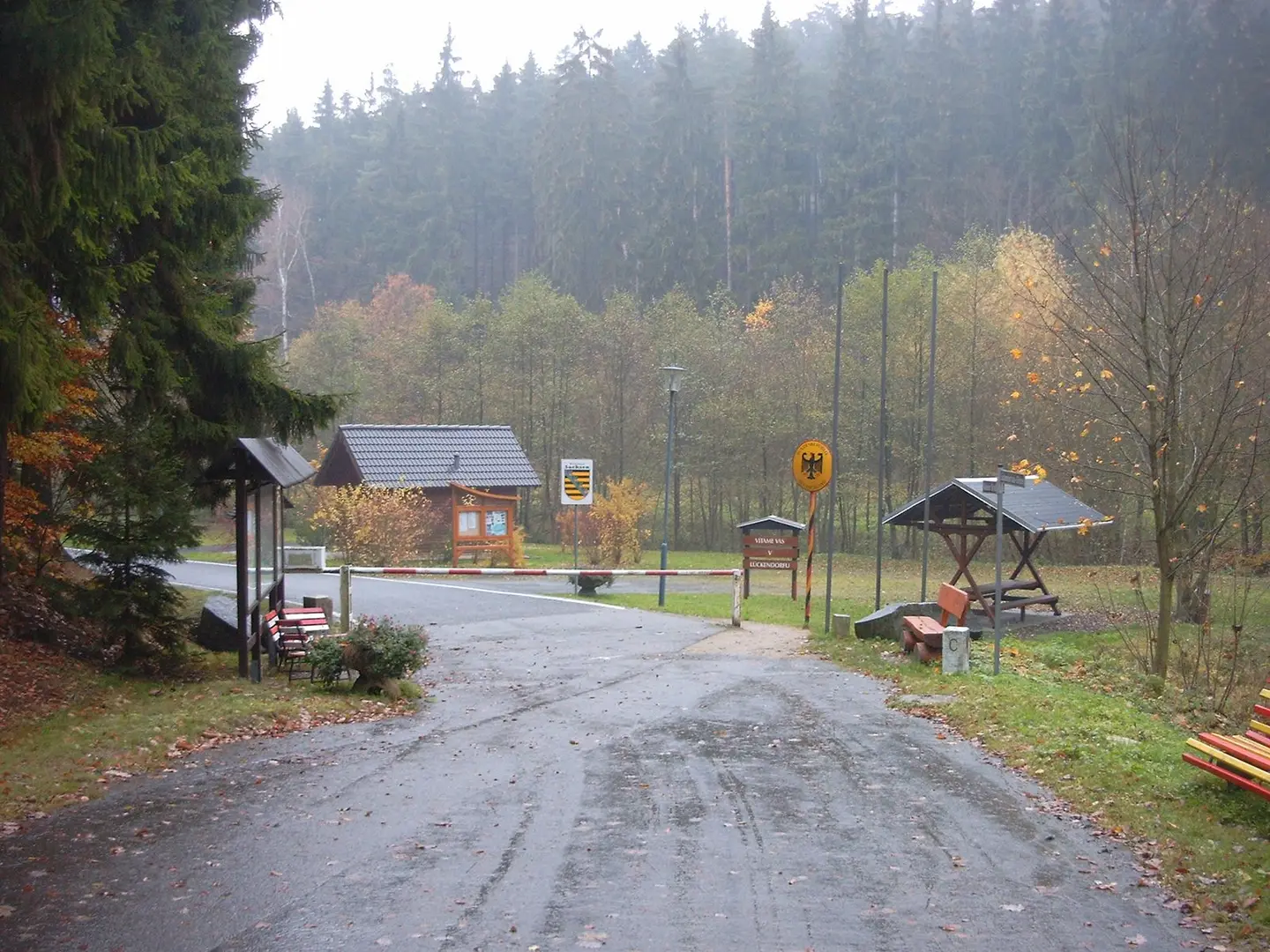
Border crossing
Hoover5555 · CC BY 4.0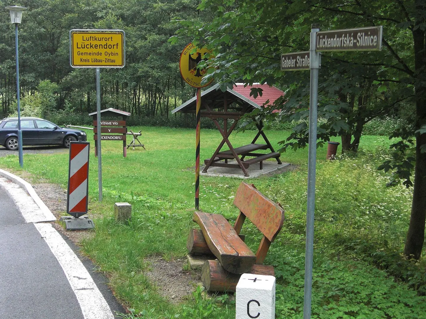
Border crossing
Hoover5555 · CC BY 4.0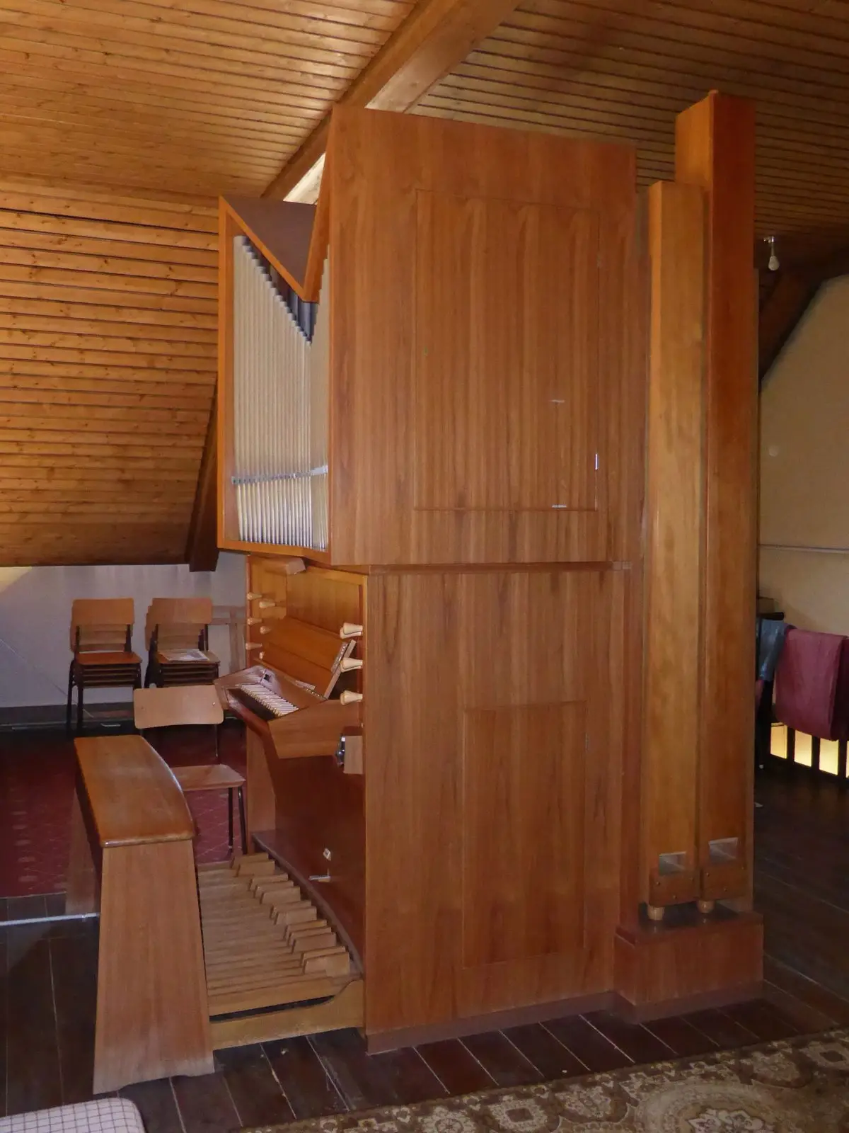
Krell-Orgel in der katholischen St.-Joseph-Kirche in Wolsdorf, Landkreis Helmstedt.
Kirchenfan · CC0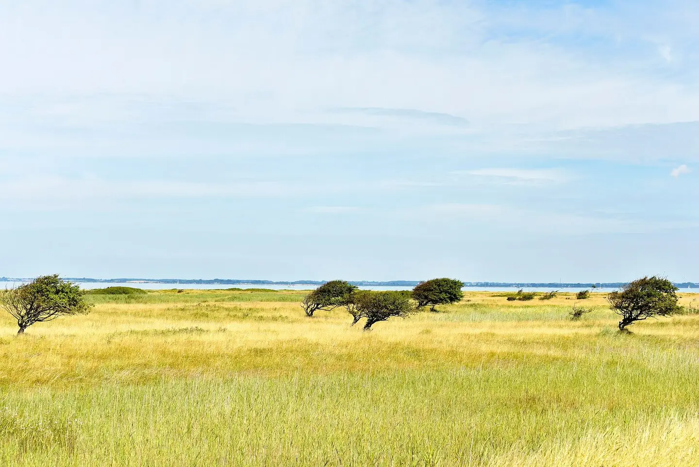
Hier in der Geltinger Birk (NSG 8) wird der Natur freien Lauf gelassen. Neben Wildpferden, Rindern und anderer Fauna werden hier auch Baume komplett in Ruhe gelassen. Speziell auf diesem Bild reizt mich jedoch, dass die Landschaft an ein eher fremdes Land erinnert. Das Gebiet ist wirklich sehr abwechslungsreich und lässt sich zu Fuß wie auch mit dem Fahrrad wunderbar erkunden. Was mich am meisten begeistert ist, dass es direkt am Meer gelegen ist.
Felix Contzen · CC BY-SA 4.0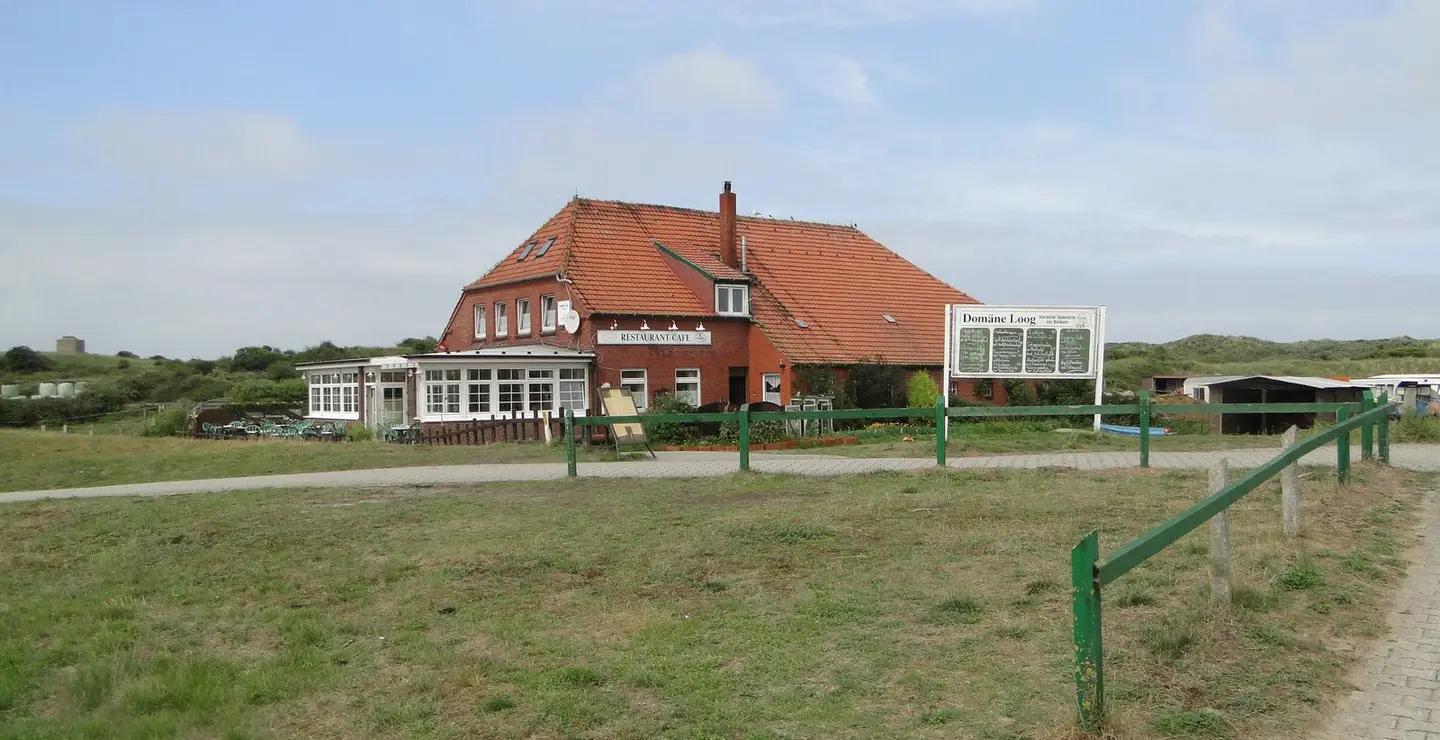
Domäne Loog
Foto Fitti · CC BY-SA 3.0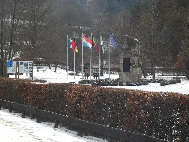
European monument 50 m west of the border triangle Germany-Belgium-Luxemburg.
Wikoli · CC BY-SA 3.0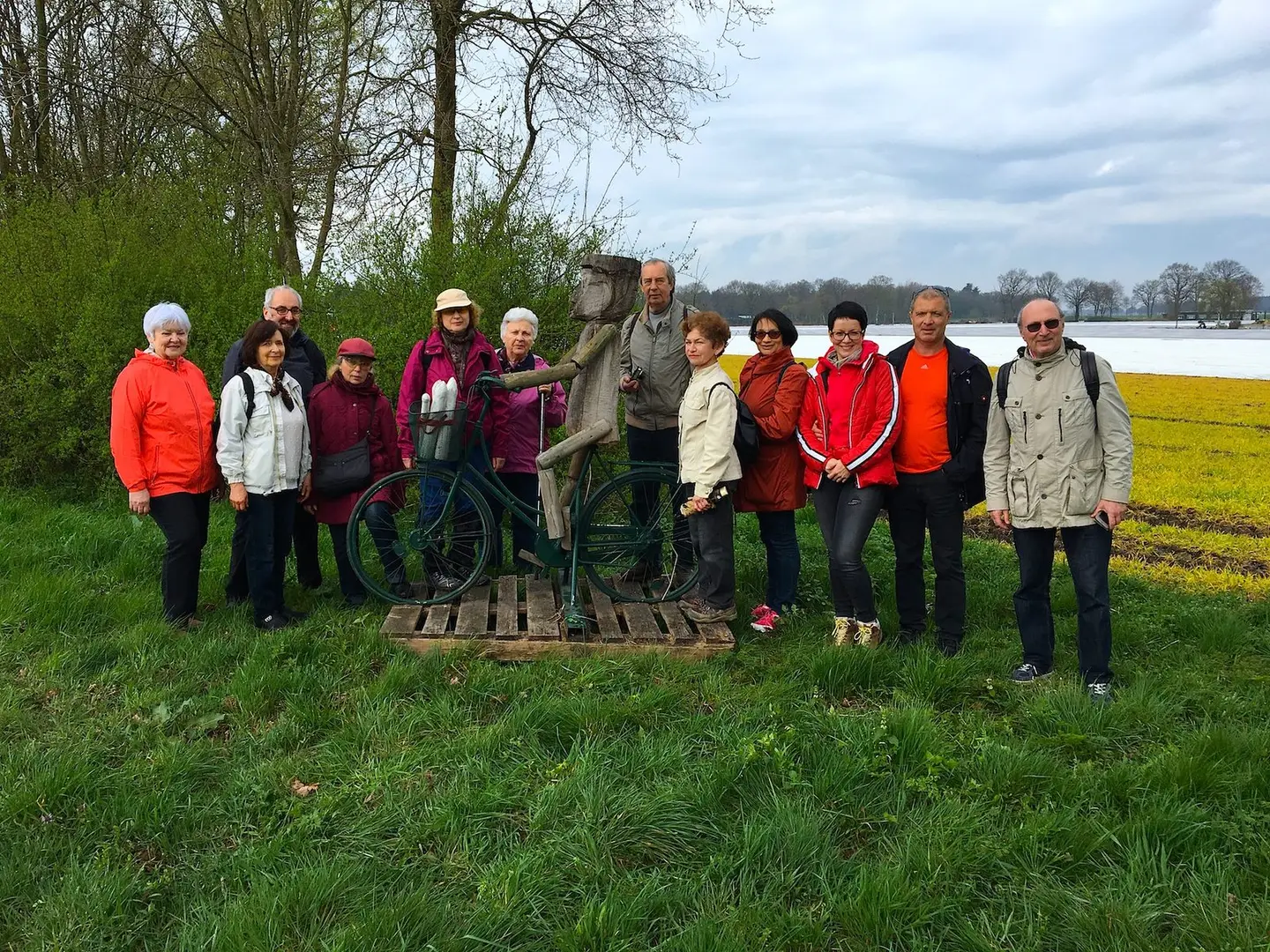
Поход жителей Дюссельдорфа и окрестных городов в нидерландский национальный природный парк "Дюны Мааса". 01 апреля 2017.
Velopilger · CC BY-SA 4.0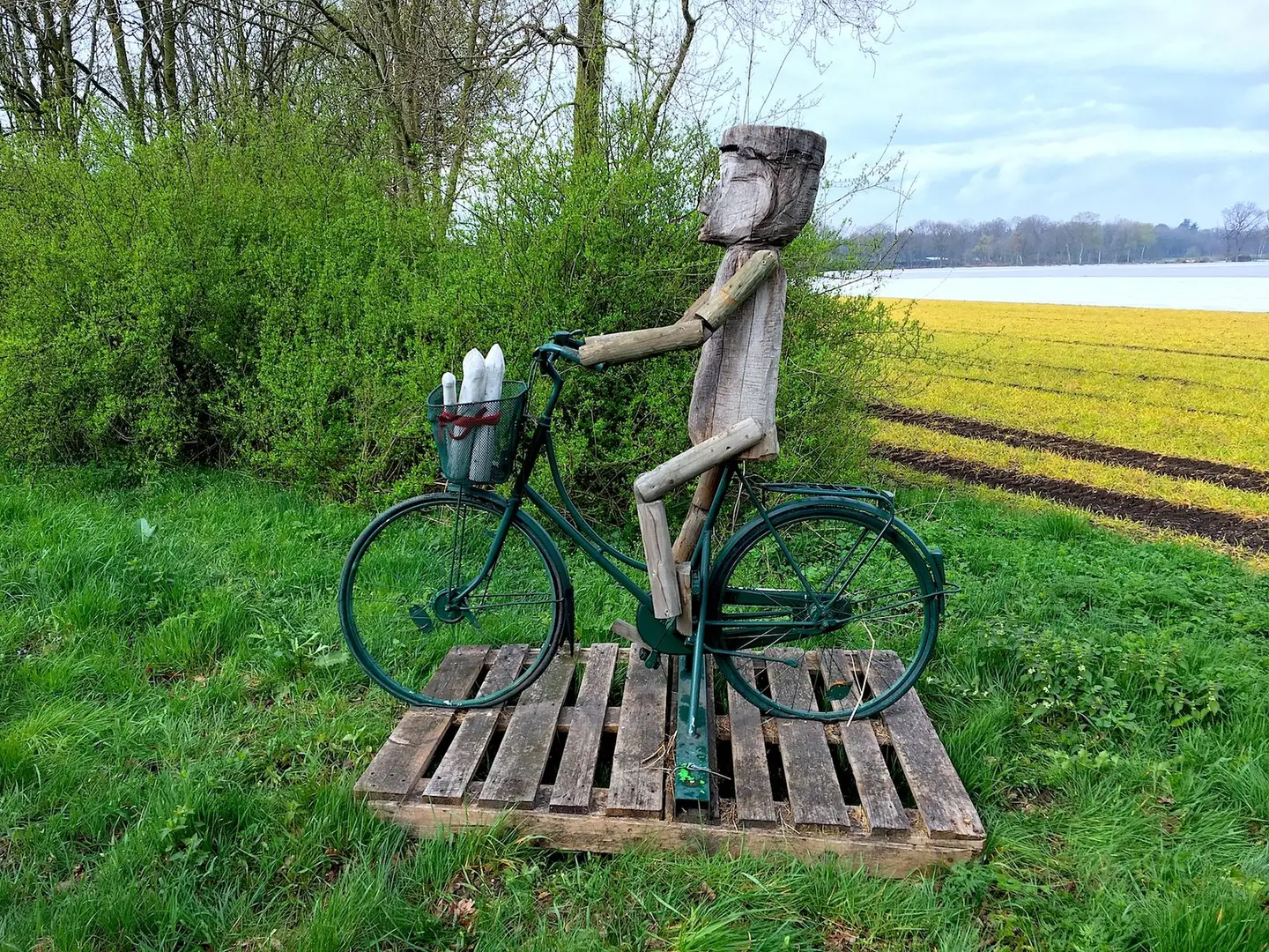
Поход жителей Дюссельдорфа и окрестных городов в нидерландский национальный природный парк "Дюны Мааса". 01 апреля 2017.
Velopilger · CC BY-SA 4.0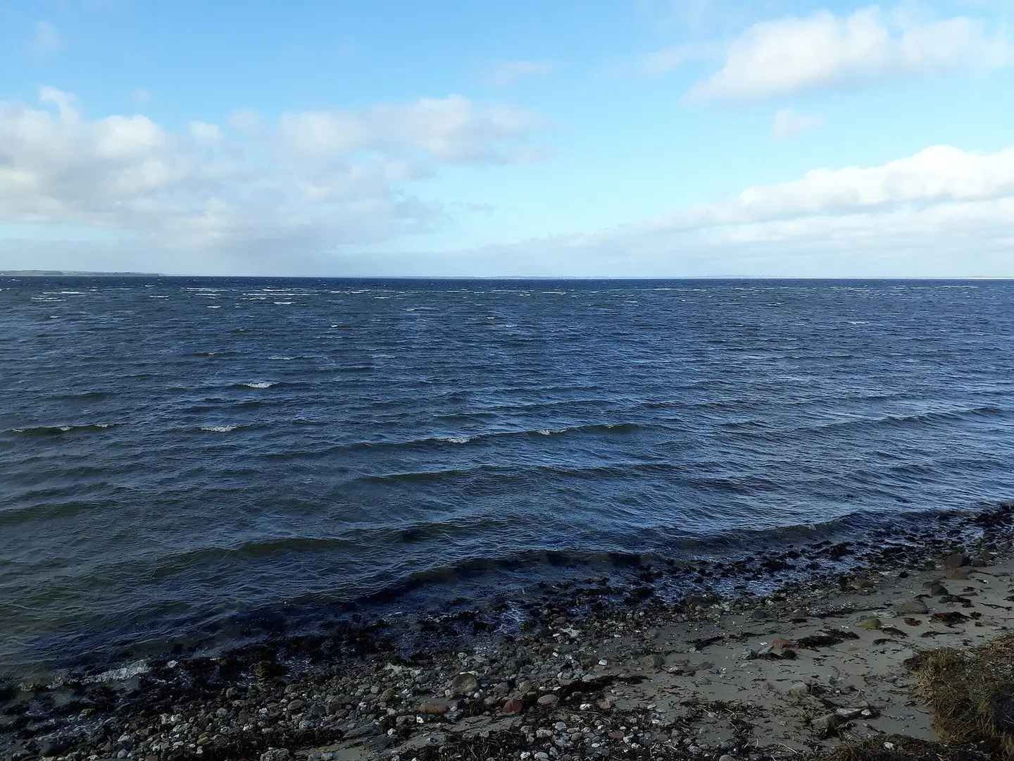
Geltinger Birk, SH
Aschroet · CC0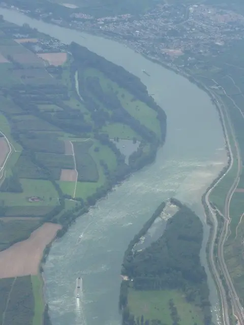
Kreis Mainz-Bingen : River Rhine Scenery
Lewis Clarke on geo.hlipp.de · CC BY-SA 2.0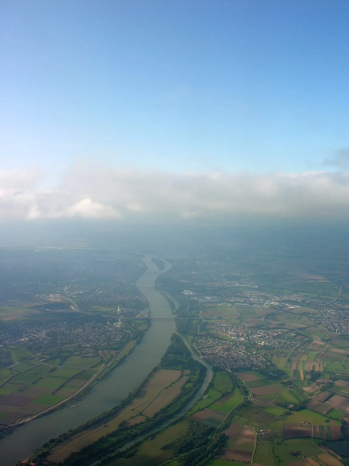
Aerial View of the Rhine and Ginsheim, Weisenau and four out of five bridges crossing the Rhine
Hansueli Krapf · CC BY-SA 3.0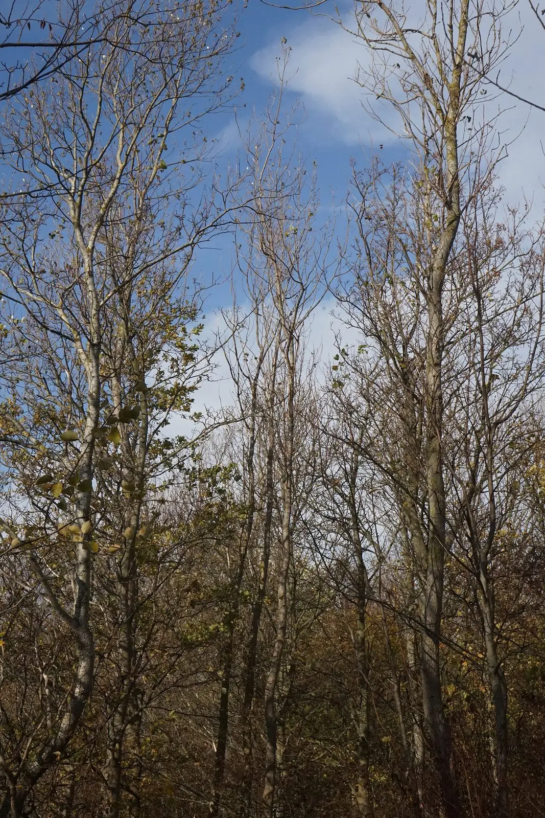
Ein Weg, berandet von Bäumen.
PantheraLeo1359531 · CC BY-SA 4.0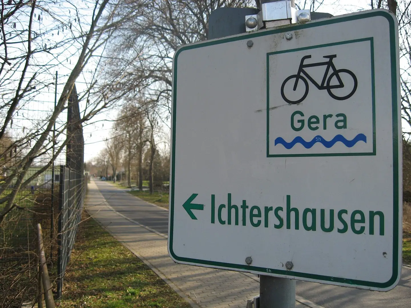
Gera-biciklovojo en la nordo de Ichtershausen
Giorno2 · CC BY-SA 4.0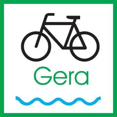
Piktogramm des Gera-Radweges.
Thüringer Tourismusverband · Public domain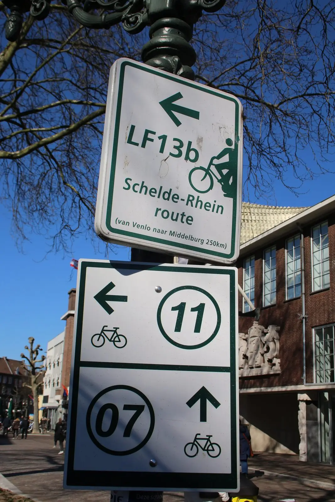
Toeristische borden Venlo
FrDr · CC BY-SA 4.0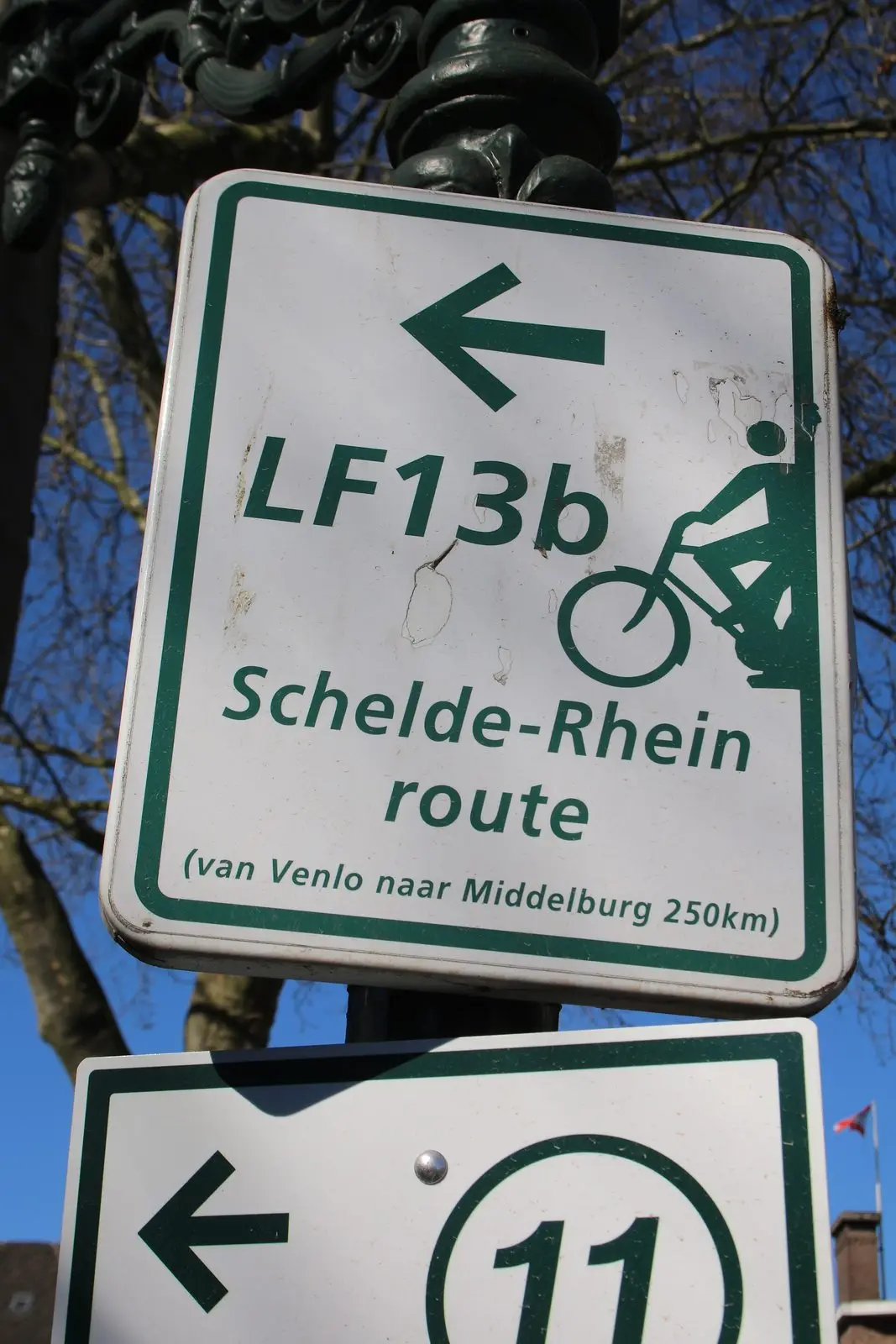
Toeristische borden Venlo
FrDr · CC BY-SA 4.0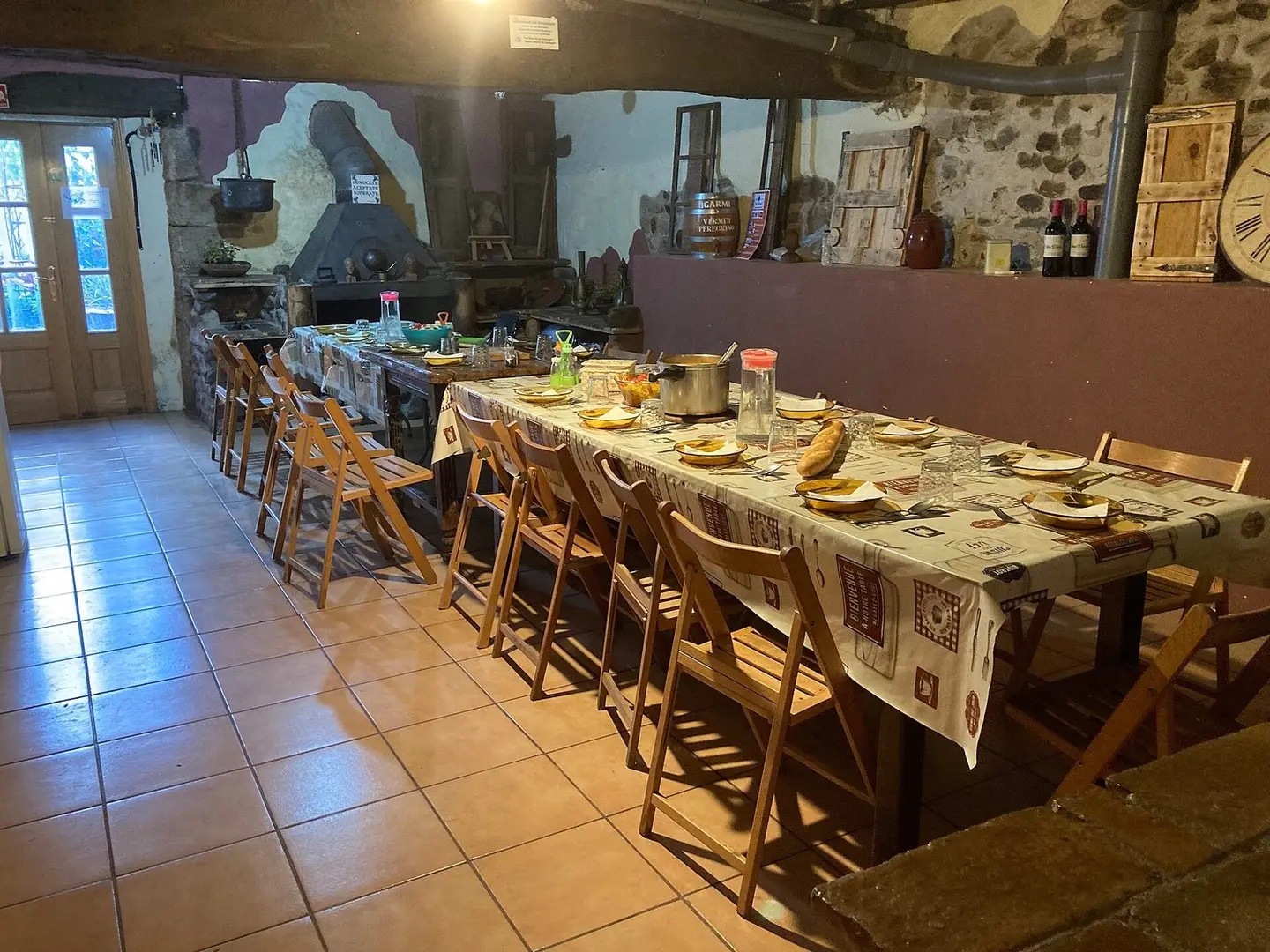
寄付制のアルベルゲでの夕食の例
Zakkful · CC BY-SA 4.0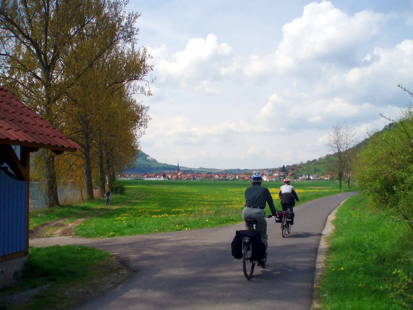
Der Werratal-Radweg bei Falken, línks die Werra
Benutzer:Hejkal · CC BY-SA 2.0 de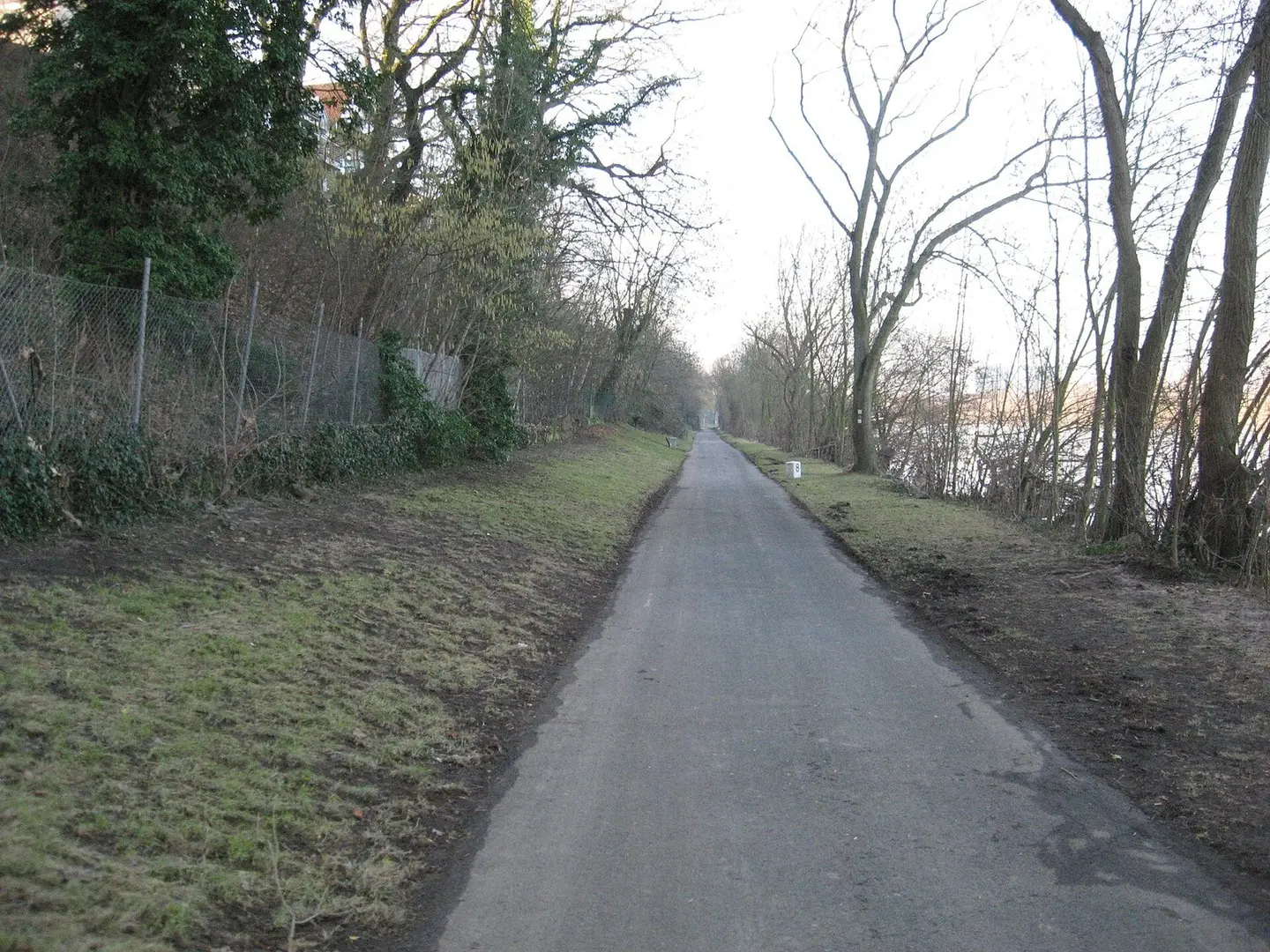
R3 Hessischer Radfernweg Kelsterbach Raunheim
James Michael DuPont · CC BY-SA 3.0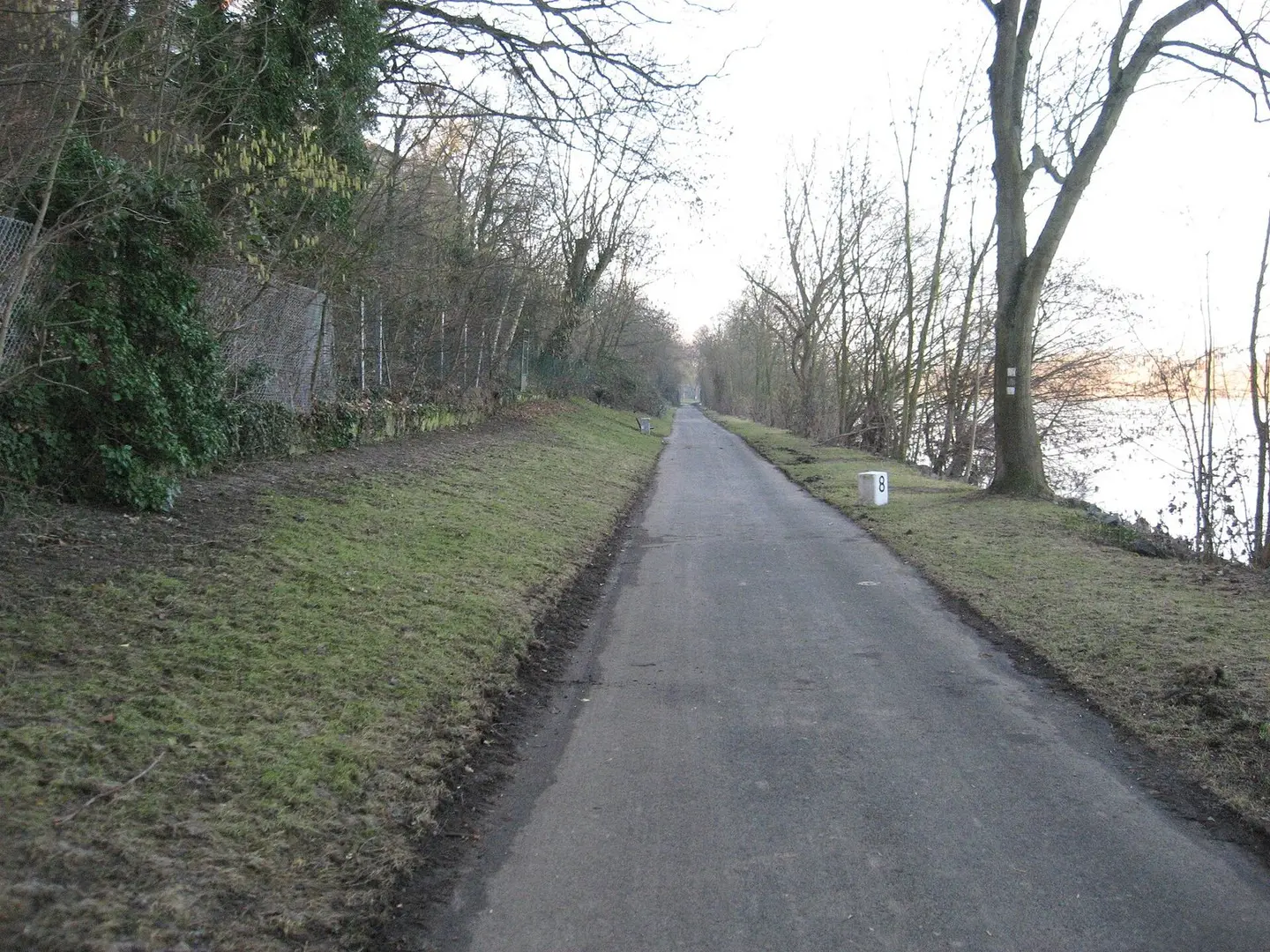
R3 Hessischer Radfernweg Kelsterbach Raunheim
James Michael DuPont · CC BY-SA 3.0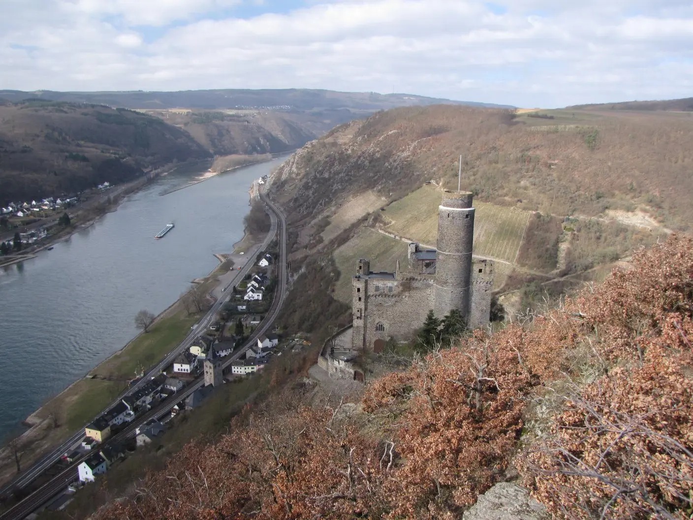
en:Burg Maus over en:Wellmich
Traveler100 · CC BY-SA 3.0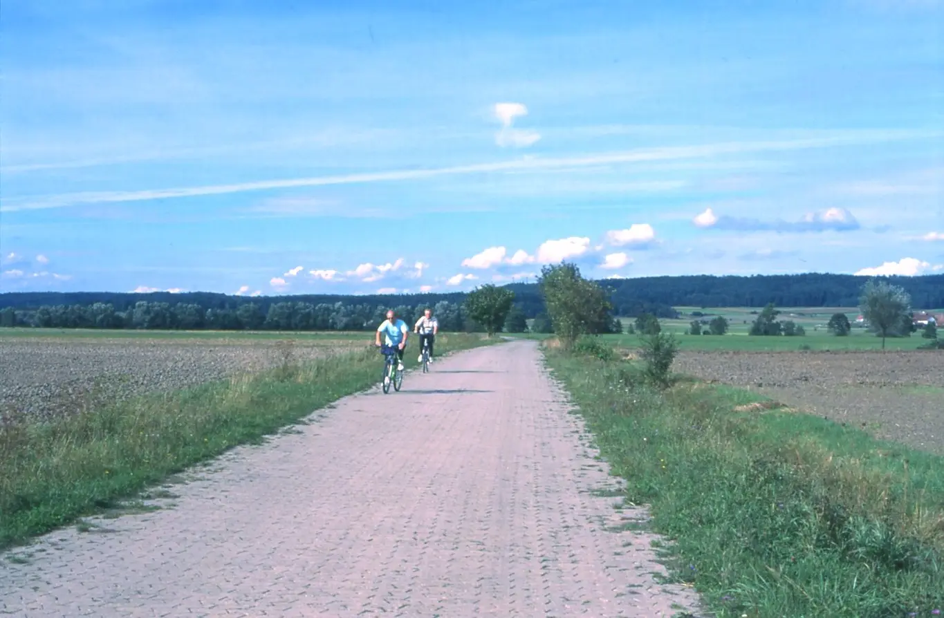
Altmuehl cycle-route, view towards Frankenhoehe range
User:Ulamm · Public domain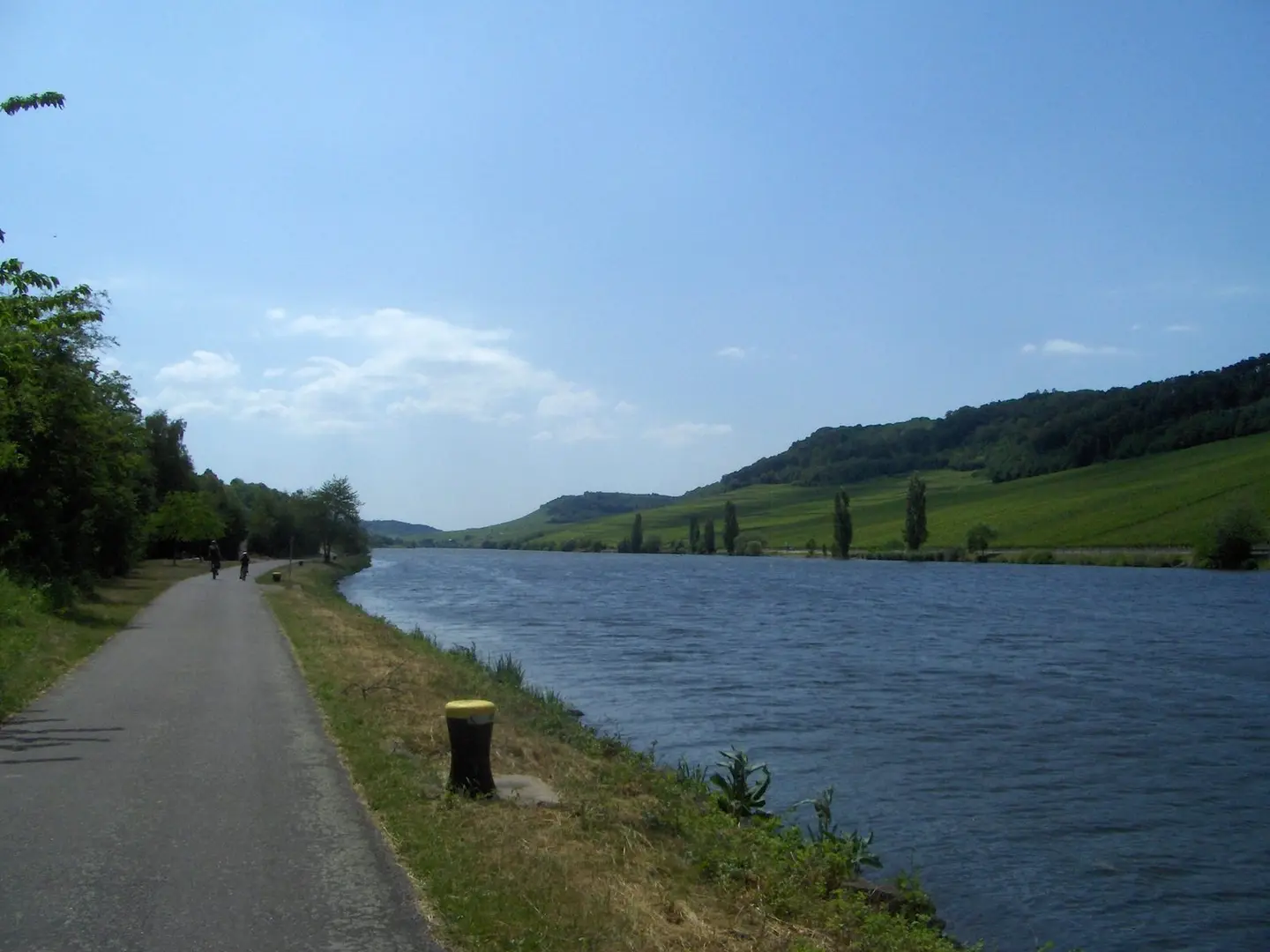
View of the Moselle valley between Nittel and Wincheringen.
Cobatfor · CC BY-SA 3.0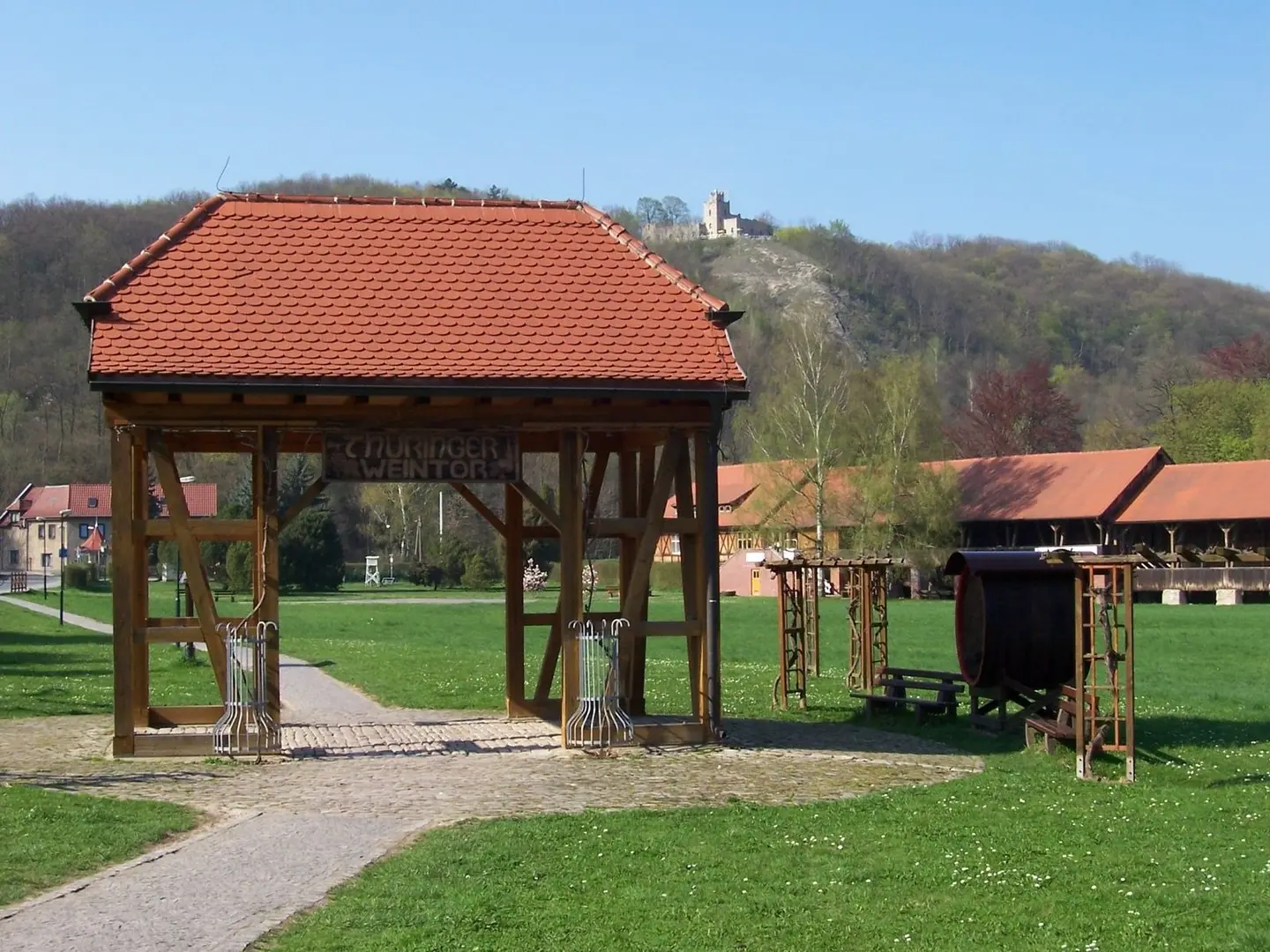
Thüringer Weintor in Bad Sulza
Tnemtsoni · CC BY-SA 3.0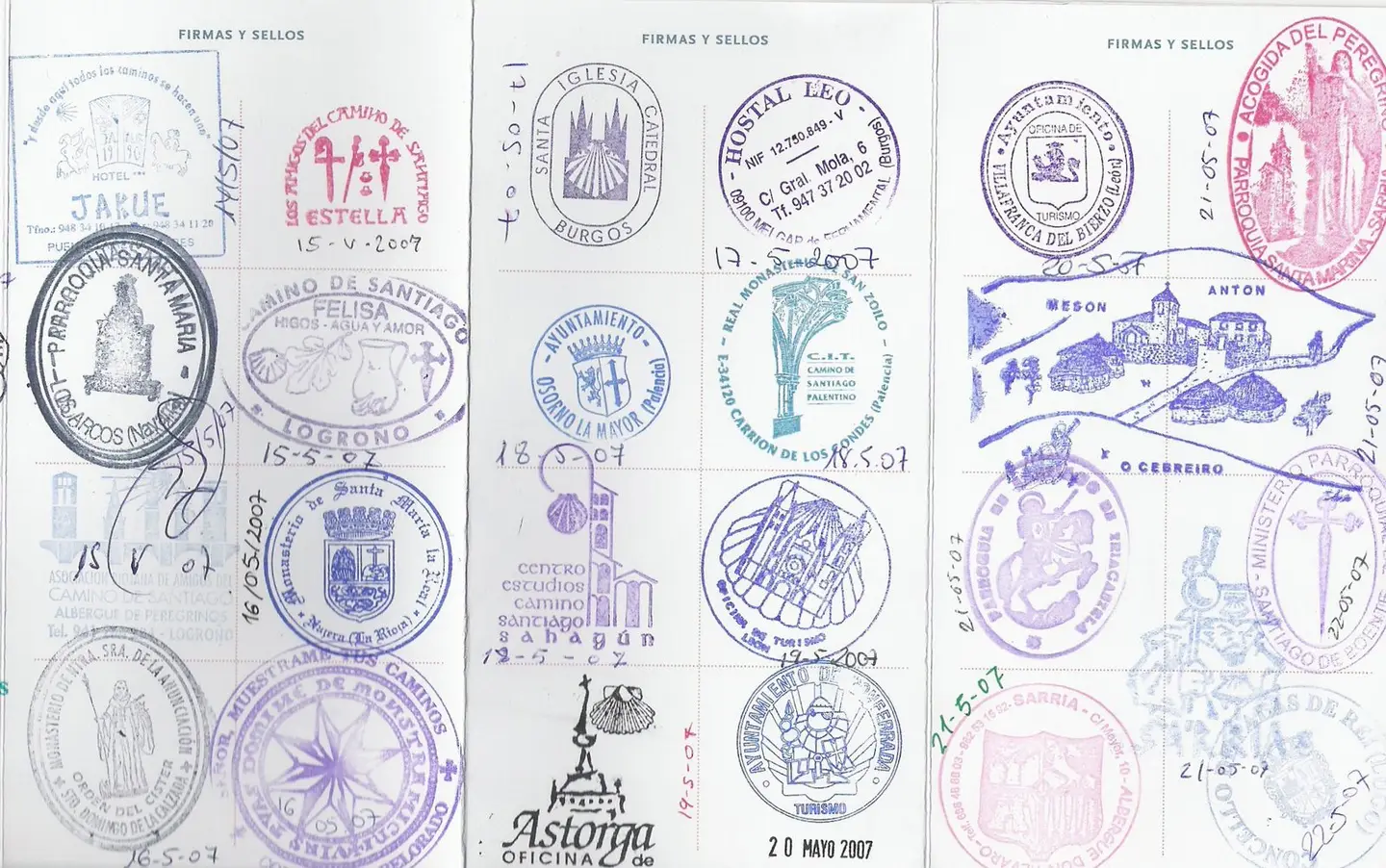
Picture of St. James stamps in Spain stamped in "Way of St. James" pilgrim passport from May 2007 bicycle trip (the passport was obtained beforehand in Utrecht at the Dutch Confraternity office there). The route taken was determined by the St. James waybook guide called "St. Jacobs Fietsroute" by Clemens Sweerman. Scan date: June 2007
Jane023 Scanned and uploaded: June 2007 · Public domain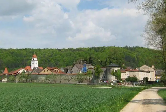
Blick auf Dollnstein im Altmühltal vom Altmühl-Radweg aus
Tine.wv · CC BY-SA 3.0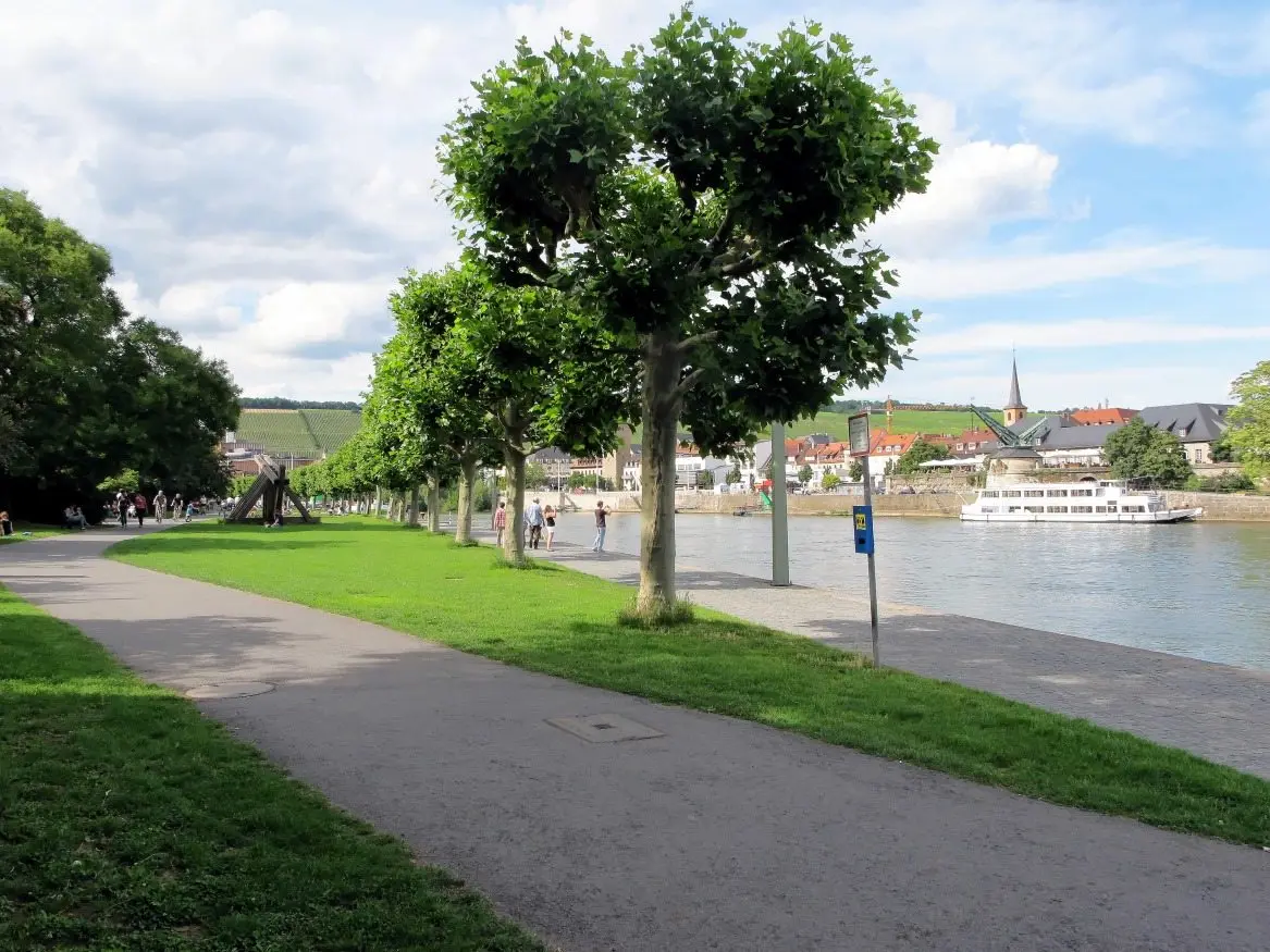
Würzburg, Quayside of River Main: Leonhard-Frank-Promenade
Bbb · CC BY-SA 3.0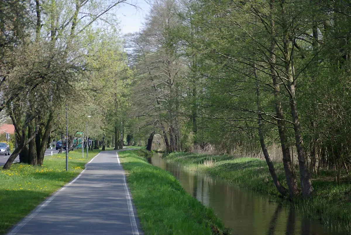
Bicycle path north of the village of Burg (Spreewald), Brandenburg, Germany
Stefan Fussan · CC BY-SA 3.0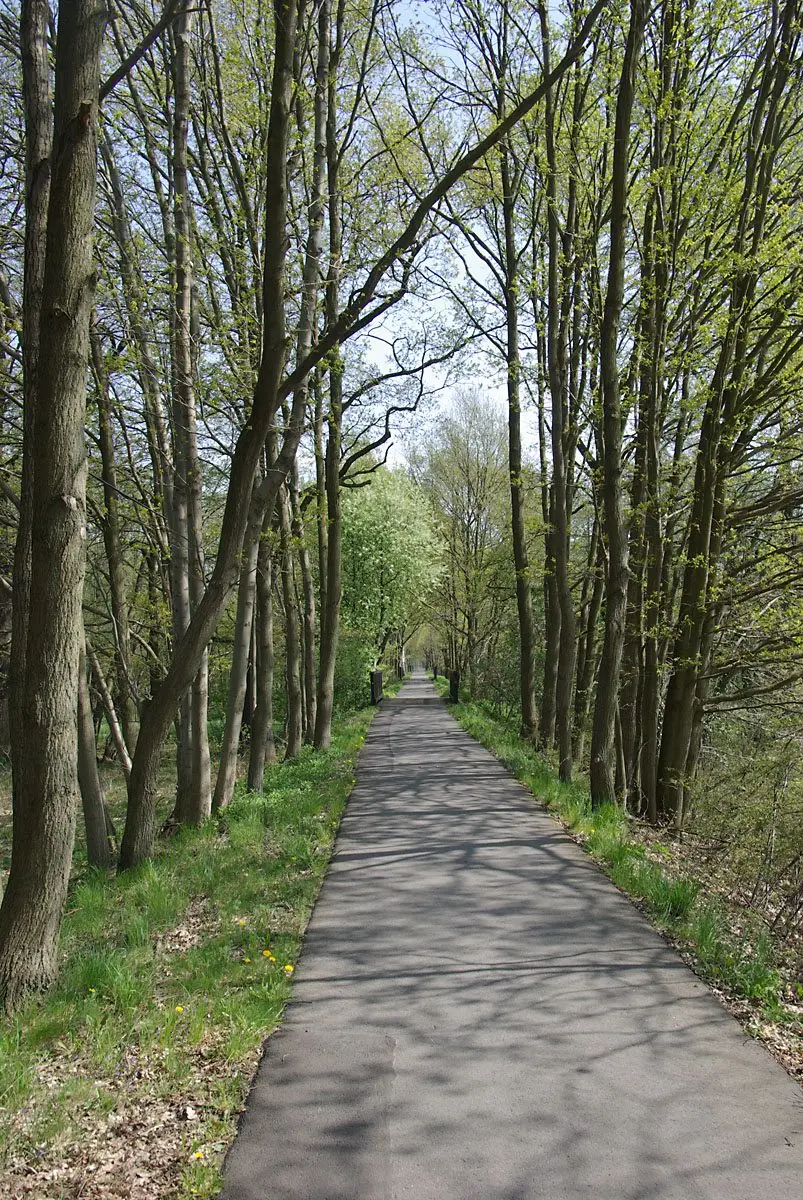
Bicycle path north of the village of Burg (Spreewald), Brandenburg, Germany
Stefan Fussan · CC BY-SA 3.0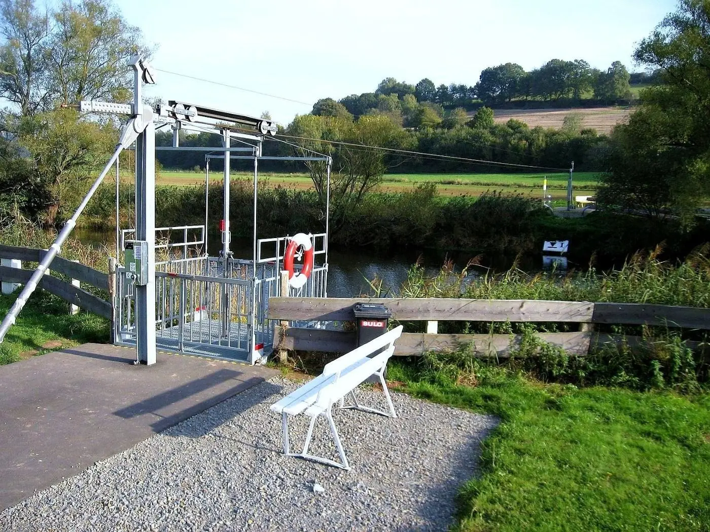
Germany / North Hesse / Cycle cable way at the river Fulda: general view
Dirk Schmidt (Celsius auf Wikivoyage) · CC BY-SA 3.0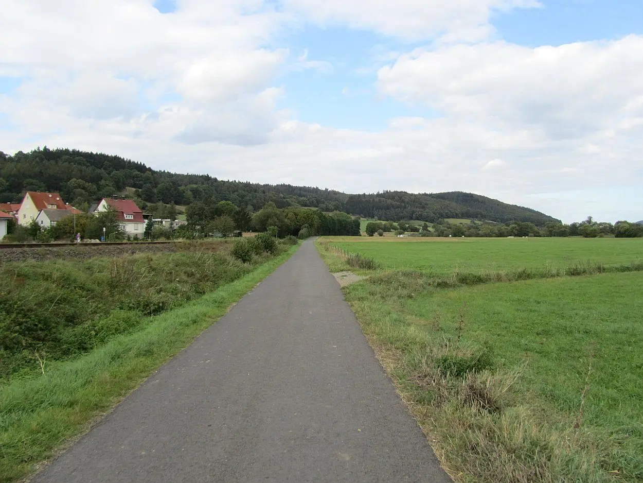
Germany / Hesse: Cycle path fulda between Niederaula and Asbach.
Dirk Schmidt (Celsius auf Wikivoyage) · CC BY-SA 3.0
Logo des Moselradweg (Koblenz)
Pedelecs · CC BY-SA 3.0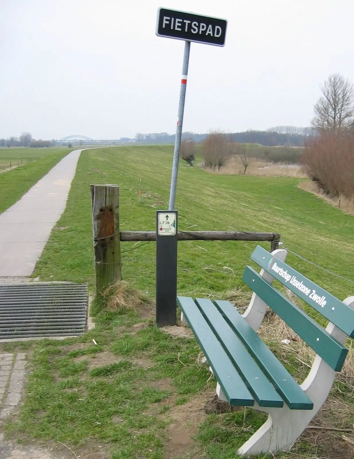
Schellerdijk in Zwolle
JePe at Dutch Wikipedia · CC BY-SA 3.0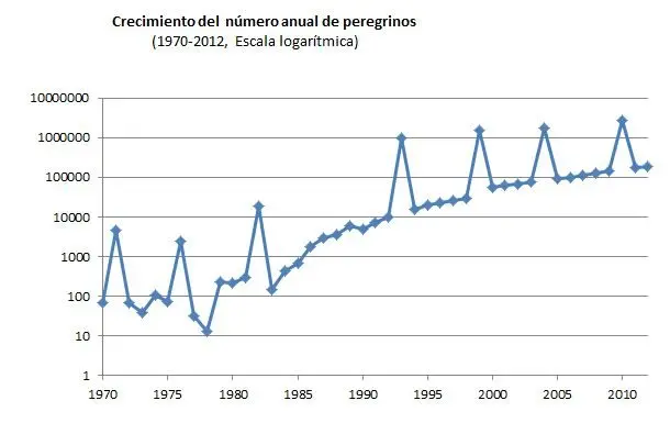
Annual growth of the number of pilgrims in the way to Santiago de Compostela
User Hca5900 · CC0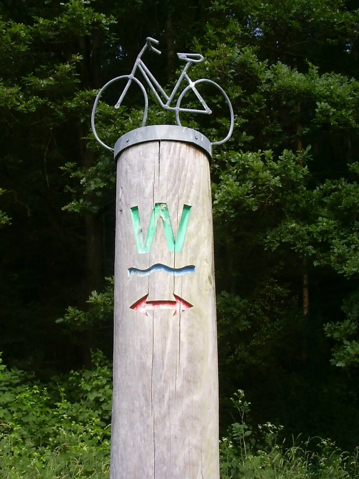
Radweg Werra
Pimvantend · CC BY-SA 3.0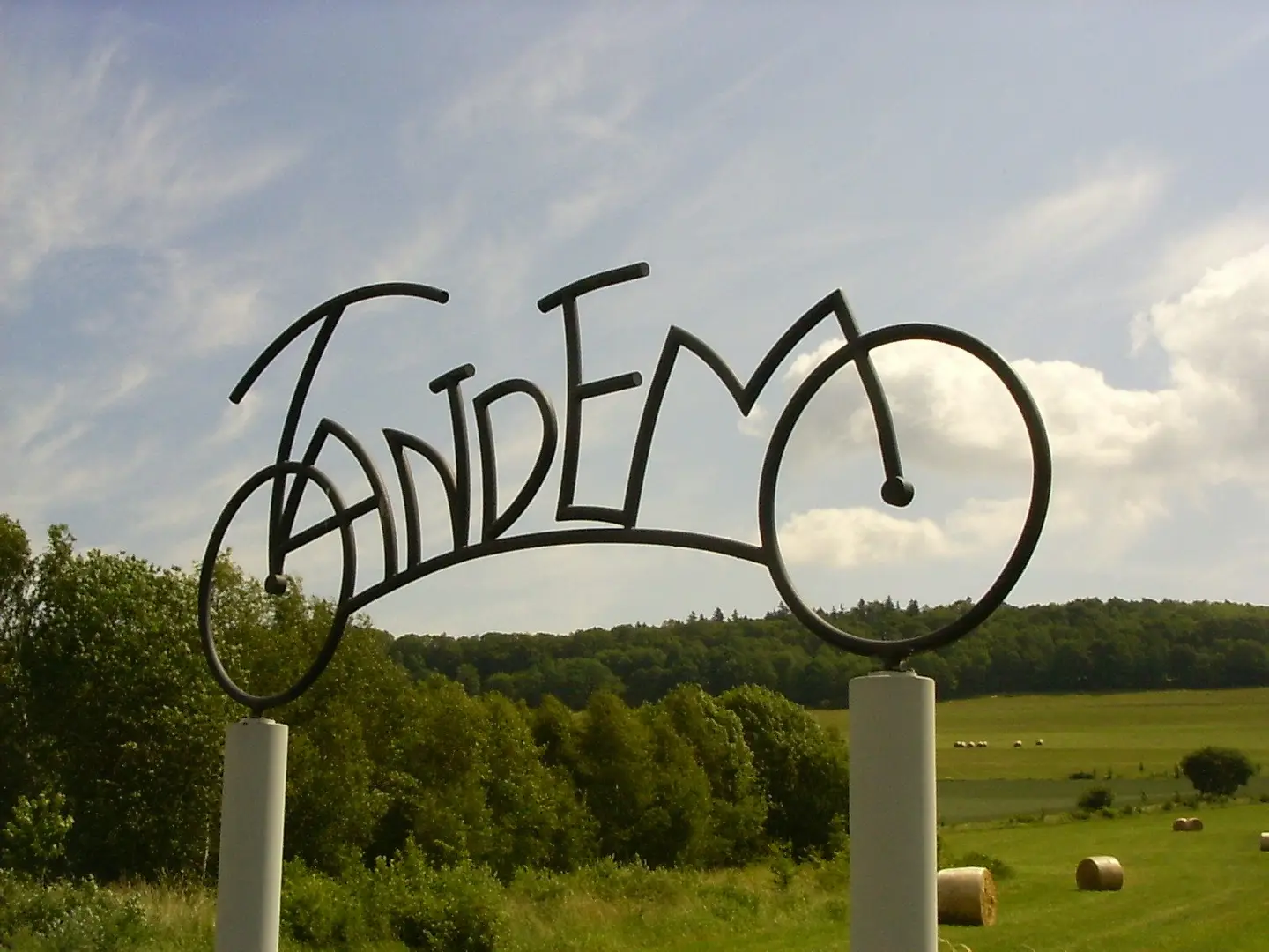
Tandem an dem Radweg Werra bei Bad Sooden-Allendorf
Pimvantend · CC BY-SA 3.0
Donauradweg-sign in Regensburg - Donaupark
Szeder László · CC BY-SA 4.0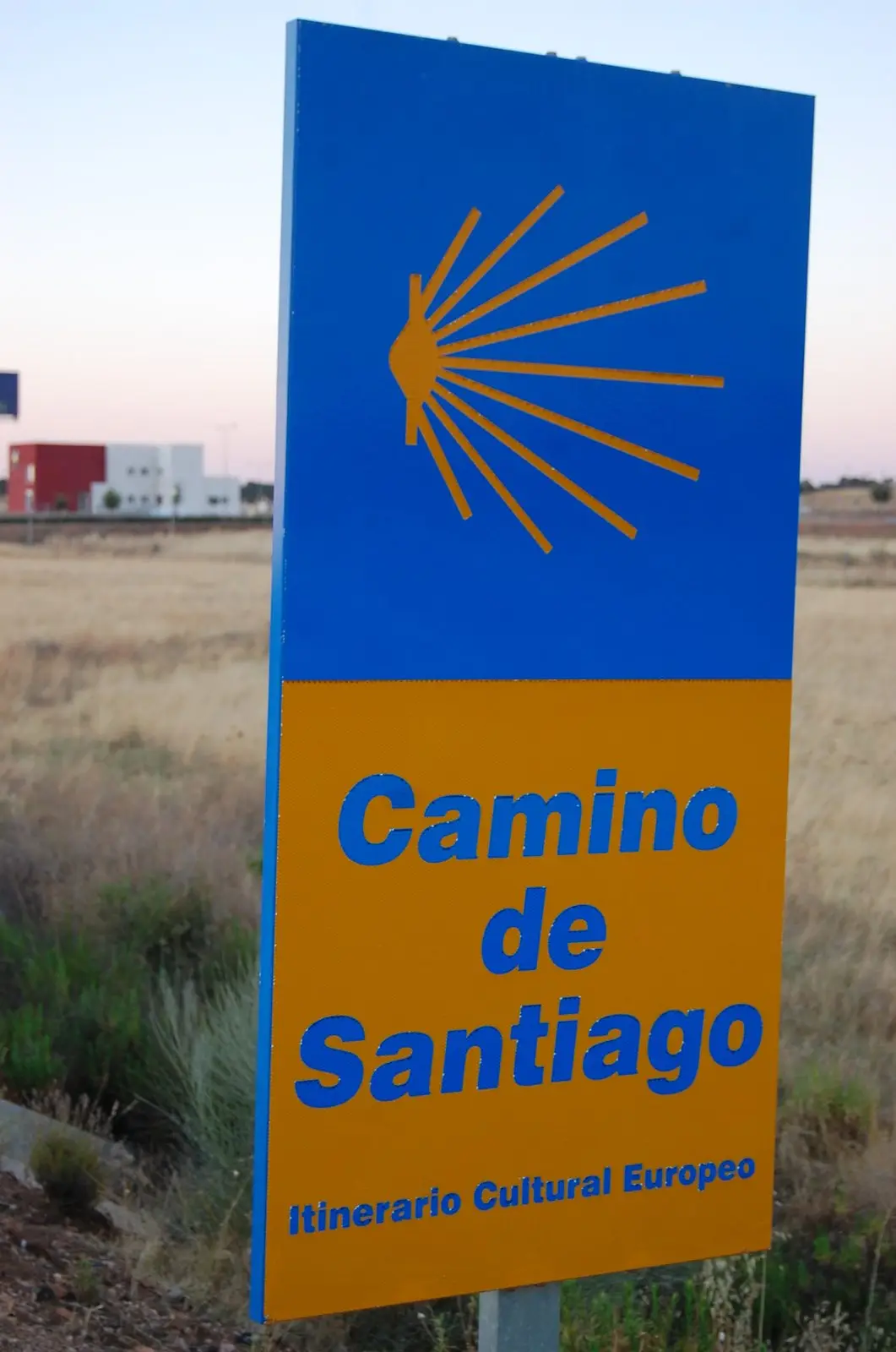
Plake del voye a Sint-Djåke-el-Galice
Lucyin · CC BY-SA 4.0
Cycle-route in the Alpine Rhine Valley between Bad Ragaz and Chur
User:Ulamm · Public domain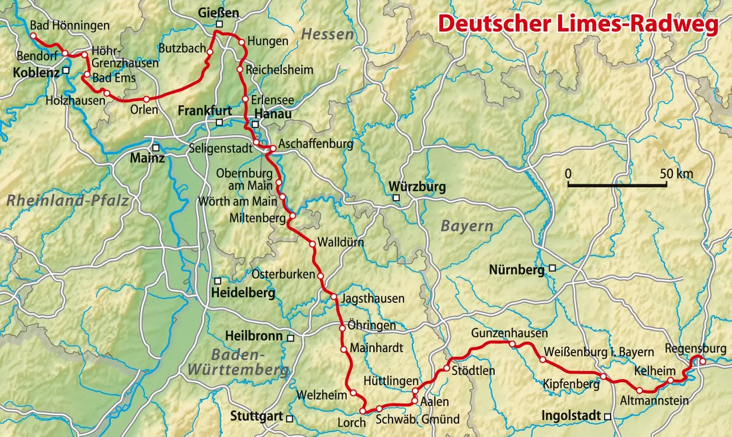
Verlauf des Deutschen Limes-Radwegs
NordNordWest · CC BY-SA 3.0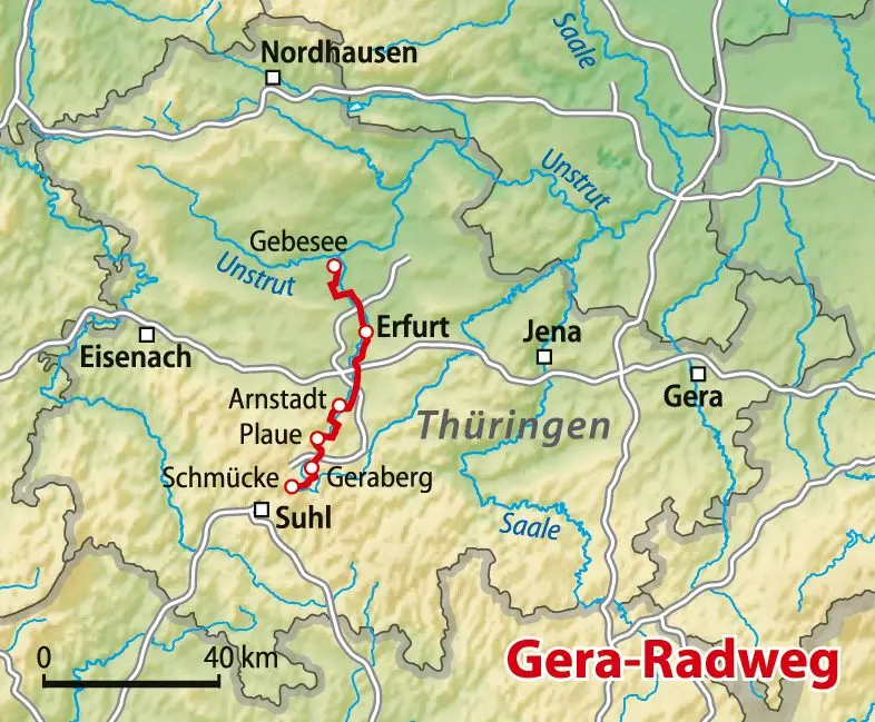
Verlauf des Gera-Radwegs
NordNordWest · CC BY-SA 3.0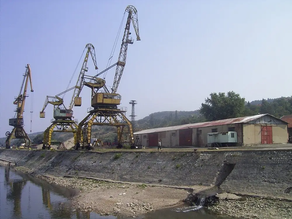
Orjachowo Bulgaria 2004 Port
Denis Barthel · CC BY-SA 3.0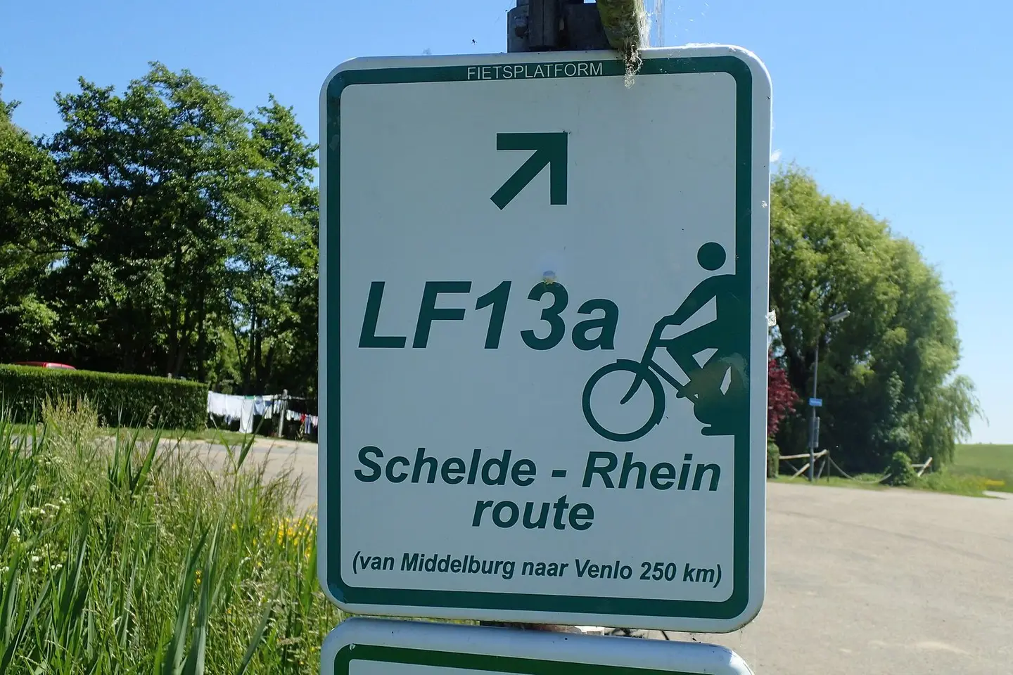
LF13 fietsroute
Zaybonk · CC BY-SA 4.0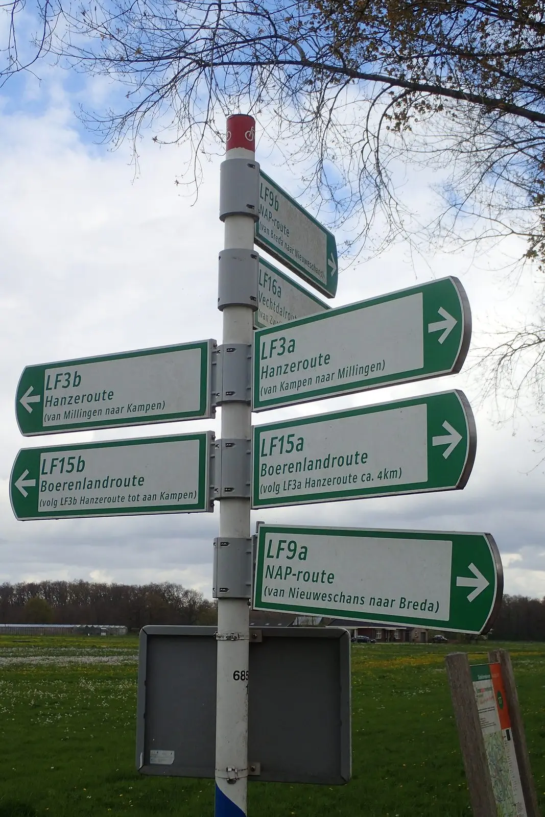
LF fietsroutes bord net buiten Zwolle
Zaybonk · CC BY-SA 4.0
ev6 symbol
Monsieur Fou · Public domain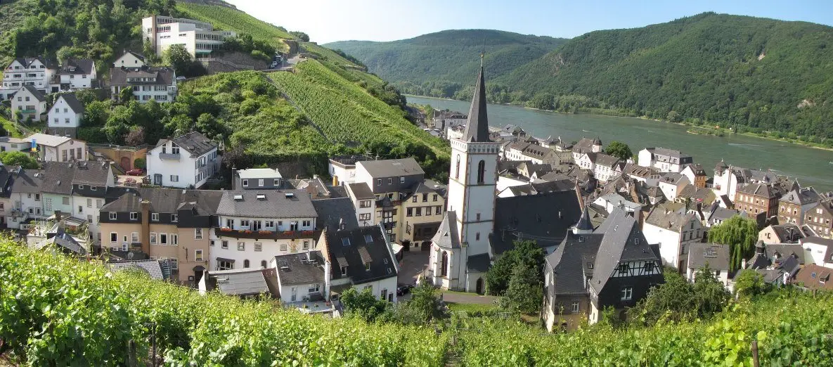
en:Assmannshausen
Traveler100 · CC BY-SA 3.0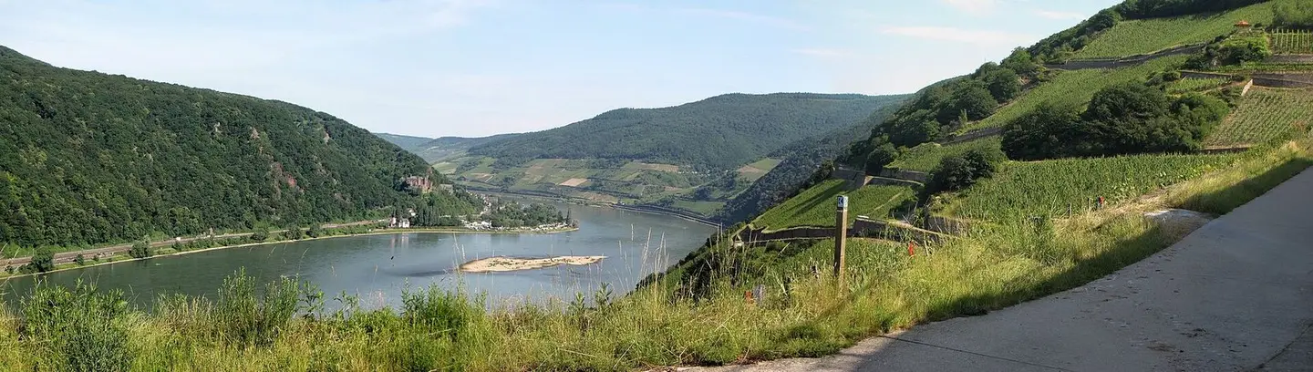
en:Rhine north of en:Assmannshausen
Traveler100 · CC BY-SA 3.0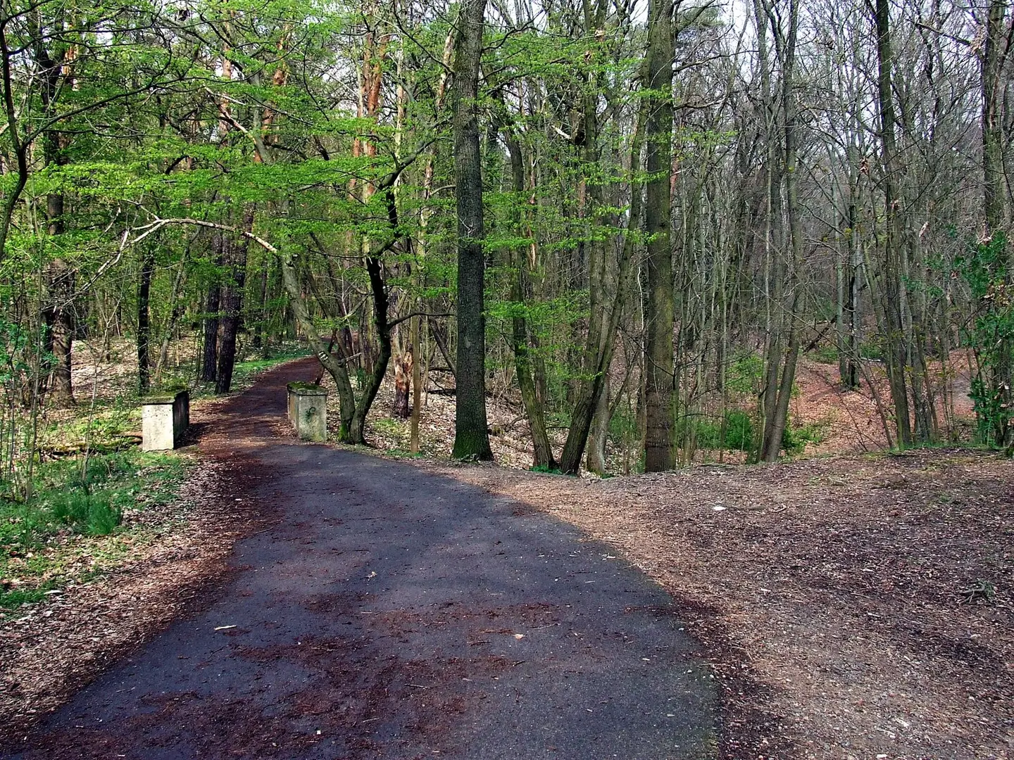
Paved bikeway which carries the E10 European long distance path along with several cycling routes through Madlower Schluchten.
Trio3D · CC BY-SA 4.0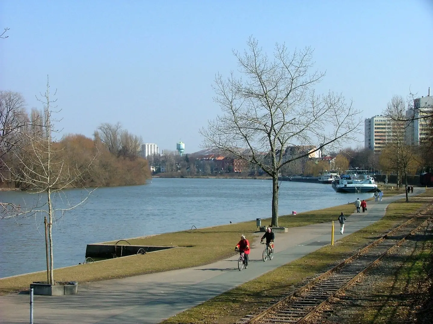
Mainverlauf bei Offenbach am Main
diba · CC BY-SA 2.0 de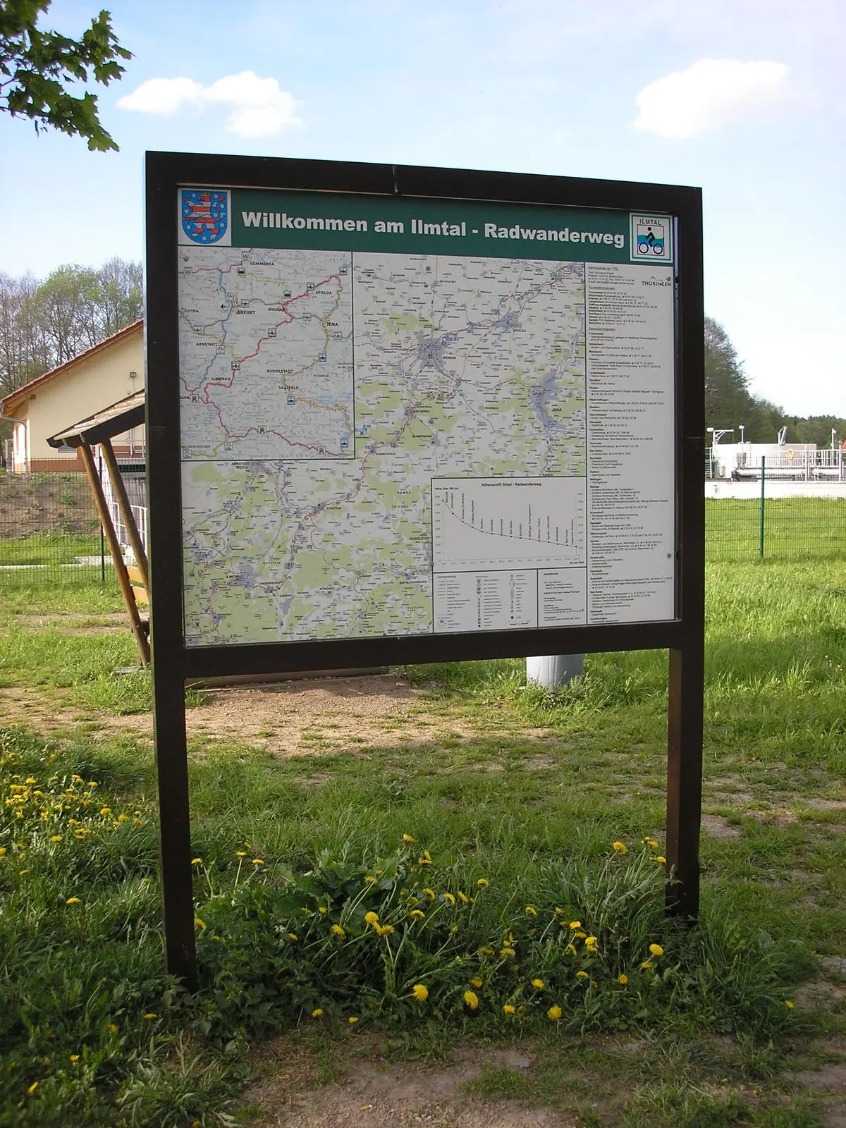
Eine Schautafel am Ilmradweg bei Langewiesen (Thüringen).
Michael Sander · CC BY-SA 3.0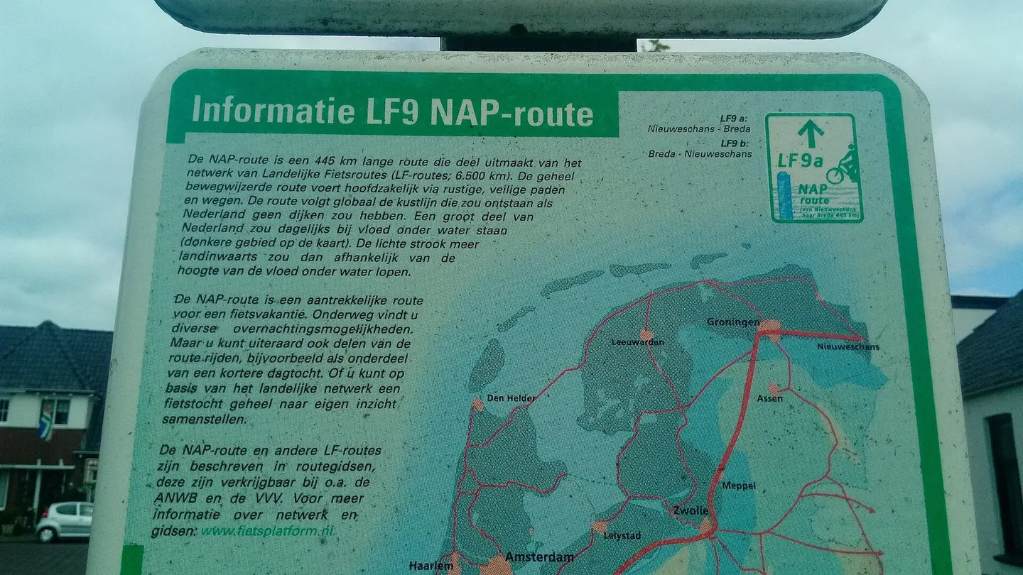
Local signs for the LF9b NẠP bicycling route in the Groninger village of Bad Nieuweschans, Oldambt which starts here and ends in Breda, North-Brabant.
Donald Trung Quoc Don (Chữ Hán: 徵國單) - Wikimedia Commons - © CC BY-SA 4.0 International.(Want to use this image?)Original publication 📤: --Donald Trung 『徵國單』 (No Fake News 💬) (WikiProject Numismatics 💴) (Articles 📚) 21:11, 26 May 2019 (UTC) · CC BY-SA 4.0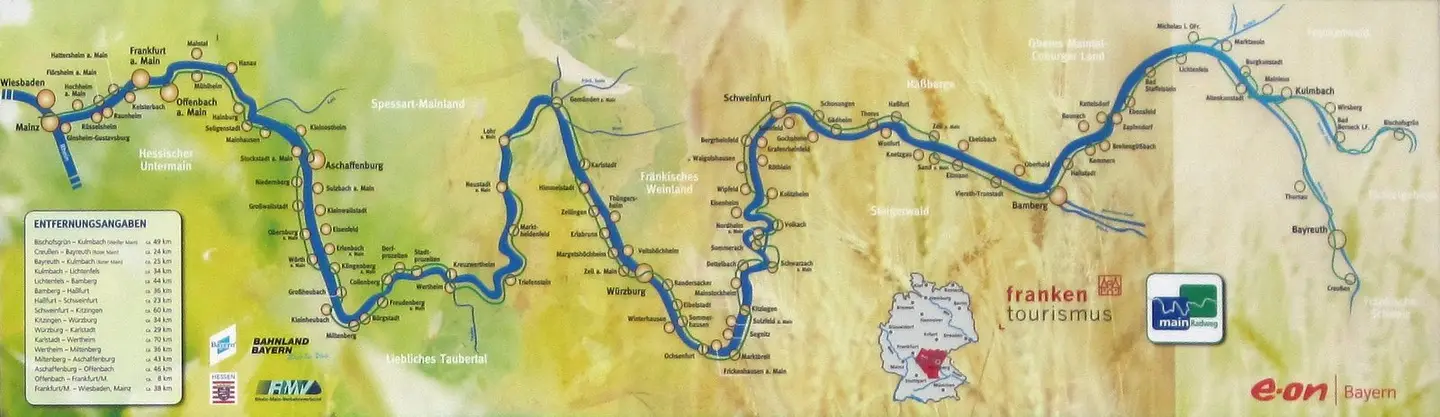
Map of Main-Radweg on an information board in Bayreuth
Chianti · FALBu filtrelerle eşleşen görsel bulunamadı. Filtreleri temizleyerek yeniden keşfedin.