P (Írott-kő – Kőszeg – Kőszegfalva – Csepreg, Hanga-kapu)
OpenStreetMap kaynaklı güzergâh kaydı. Konumu haritada inceleyin ve özgün GPX dosyasını indirin.
30,3 km kayıtlı çizgi
Ülke Atlası
4.197 rota ve ağ kaydı ve 80 görsel ile ülkeyi keşfedin. Ağ bağlantılarını rota listesindeki ayrı filtreyle görüntüleyebilirsiniz. Fotoğraflardan güzergâhlara, kendi yolculuğunuzu kurun.
Bu ülkenin kaynak arşivindeki 251 kayıtta eksik geometri veya çözümlenmemiş üyeler bulunuyor; bu kayıtlar rota listesine alınmadı.
80 görsellik ülke arşivi
Çevre, konu bağlantılı ve hava/uzay görsellerini ayrı filtreleyin. Görselleri büyüterek kaynak açıklamalarını ve lisanslarını inceleyin.
80 görsel
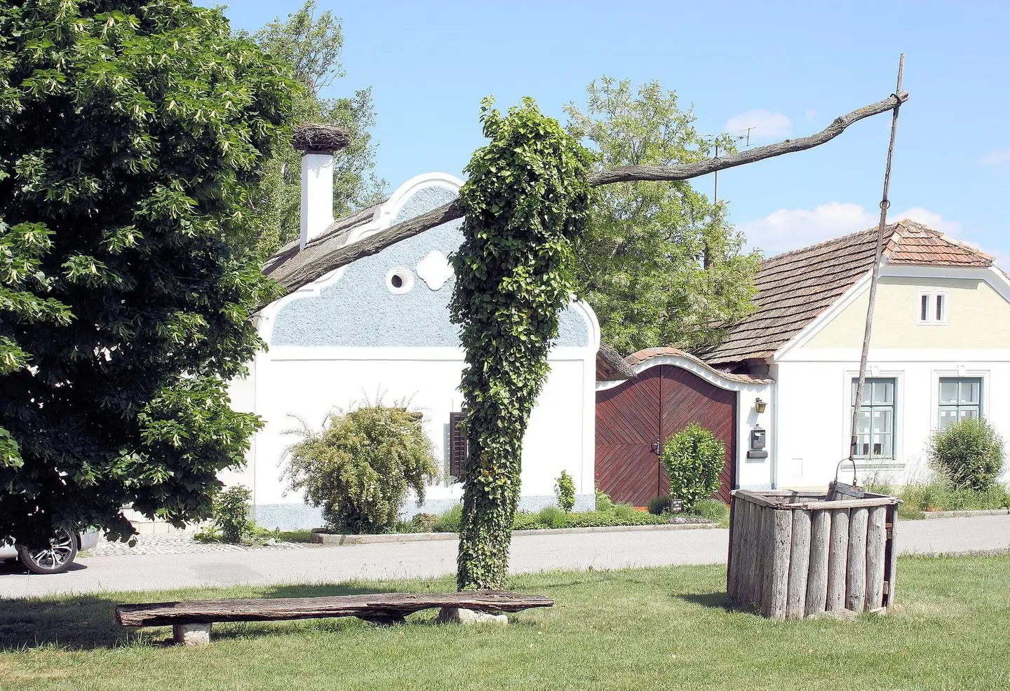
Apetlon, the Hufnaglhaus
Dguendel · CC BY 3.0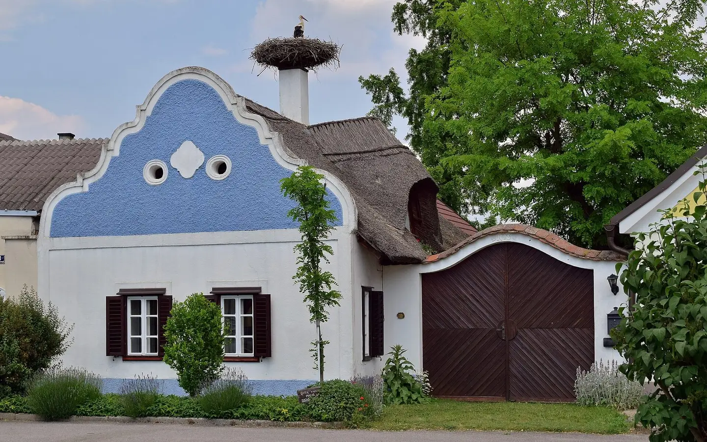
Das auf ein Alter von 250 Jahren geschätzte Hufnaglhaus ist eines der letzten erhaltenen typisch burgenländischen Häuser. Im Dehio wird der barocke Volutengiebel und die Rohrdeckung erwähnt. Das Haus gilt als ein Wahrzeichen der Gemeinde, siehe Das Hufnaglhaus.
Haeferl · CC BY-SA 4.0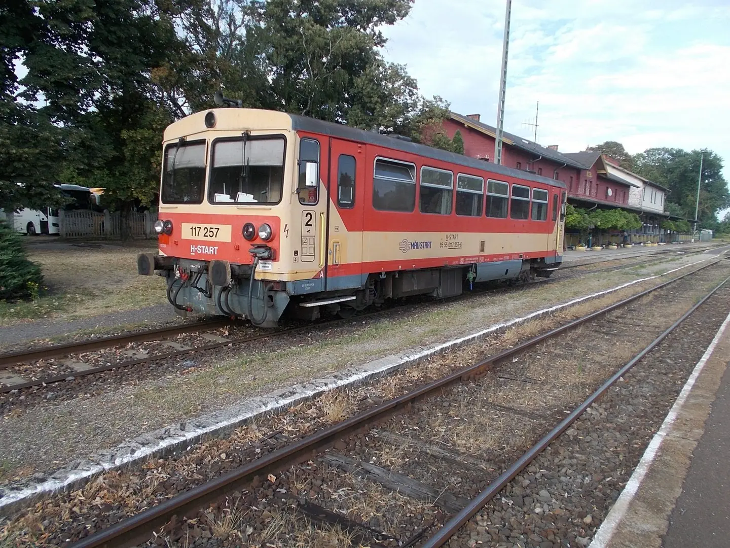
Railway station, Bzmot 117 257 - Barcs, Somogy County, Hungary.
Globetrotter19 · CC BY-SA 3.0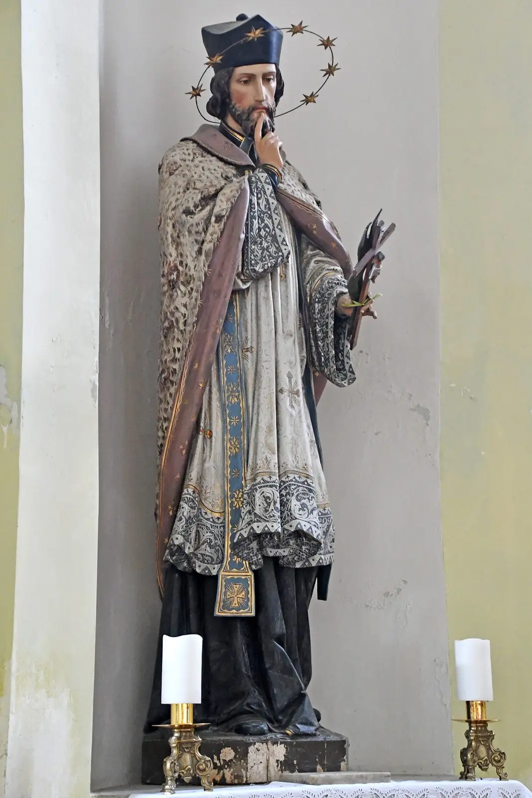
Statue of Saint John of Nepomuk from the end of the 19th century in the Saint Michael church of Mohács, Baranya, Hungary
Pasztilla aka Attila Terbócs · CC BY-SA 4.0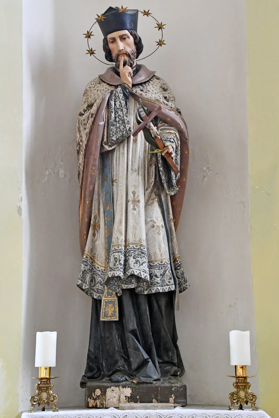
Statue of Saint John of Nepomuk from the end of the 19th century in the Saint Michael church of Mohács, Baranya, Hungary
Pasztilla aka Attila Terbócs · CC BY-SA 4.0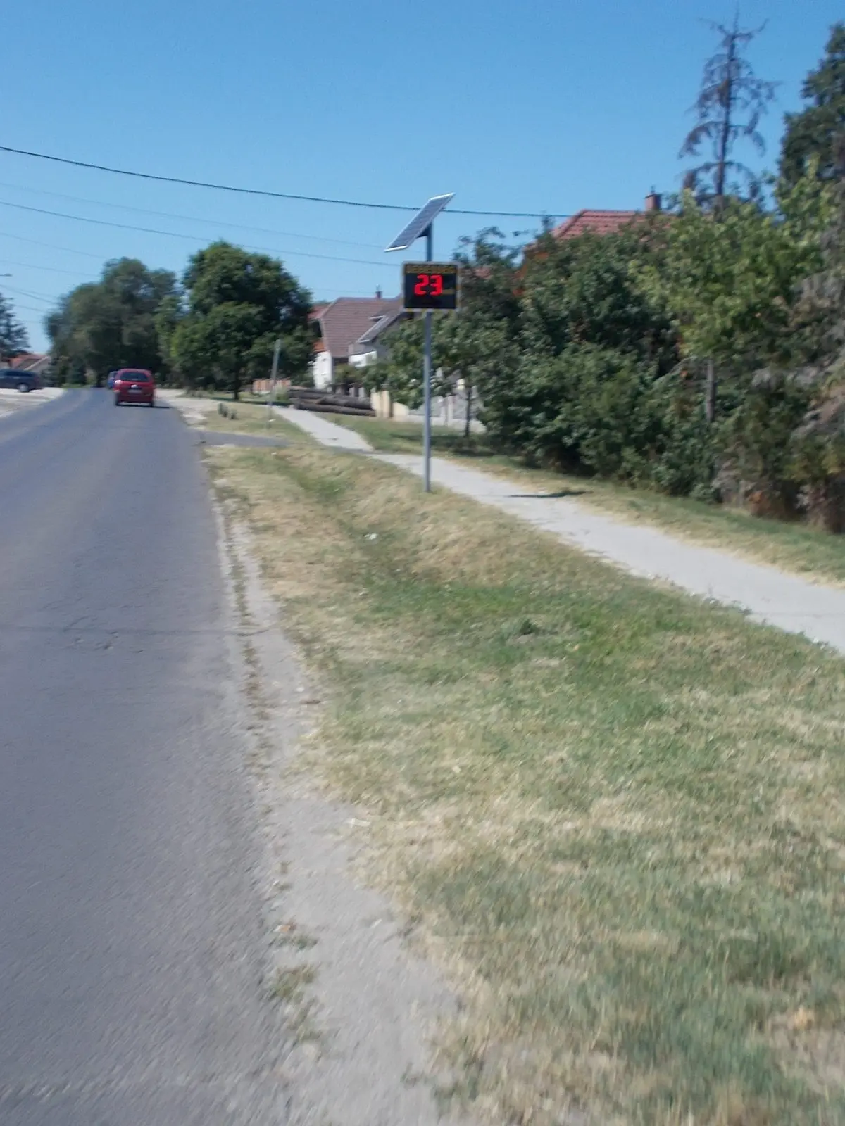
Speed display system - Fő Road (Route 3105), Galgahévíz, Pest County, Hungary.
Globetrotter19 · CC BY-SA 4.0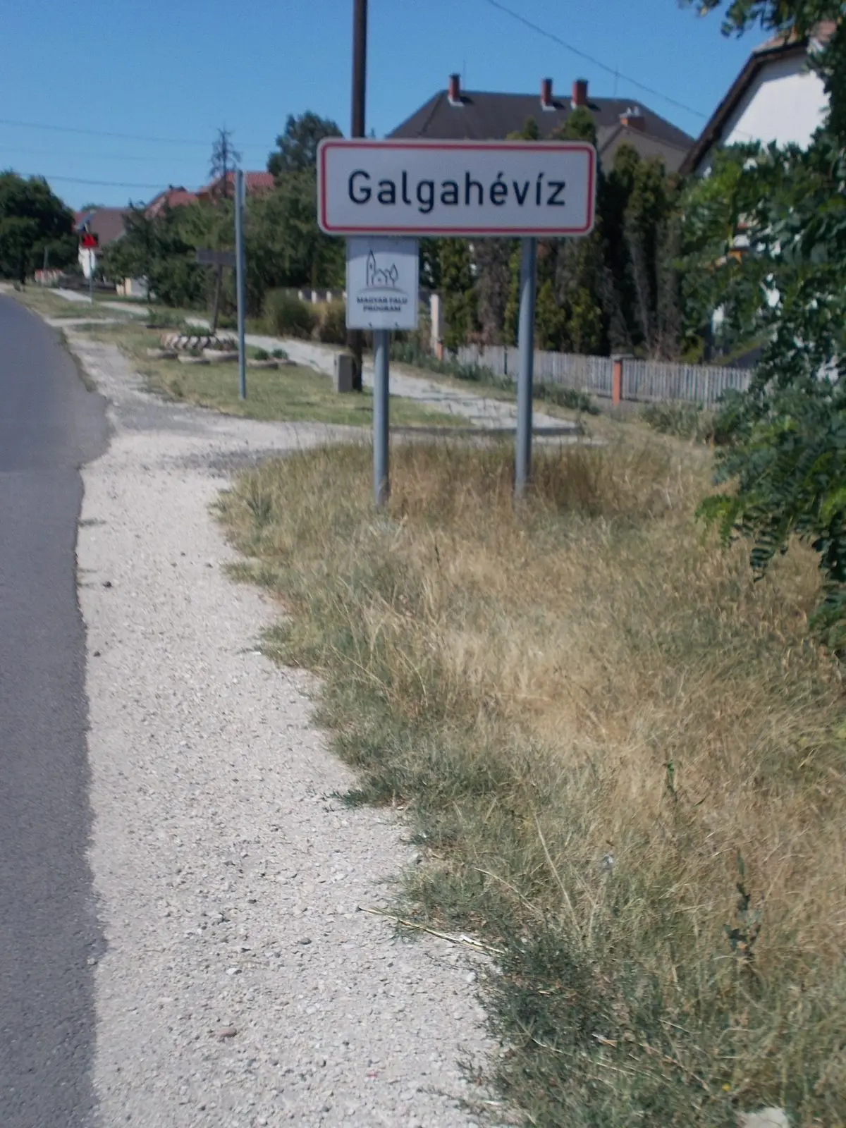
City limit sign - Fő Road (Route 3105), Galgahévíz, Pest County, Hungary.
Globetrotter19 · CC BY-SA 4.0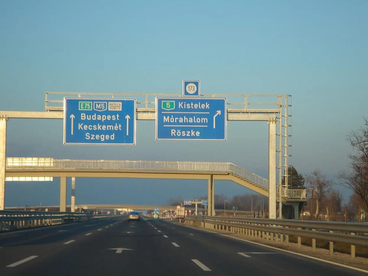
European route E-75 at Röszke, Hungarian border with Serbia.
Uploaded by Meelosh · CC BY-SA 2.5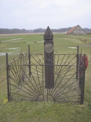
Near (1 km from) the Hungarian easternmost point
Aranyhold at en.wikipedia · CC BY-SA 3.0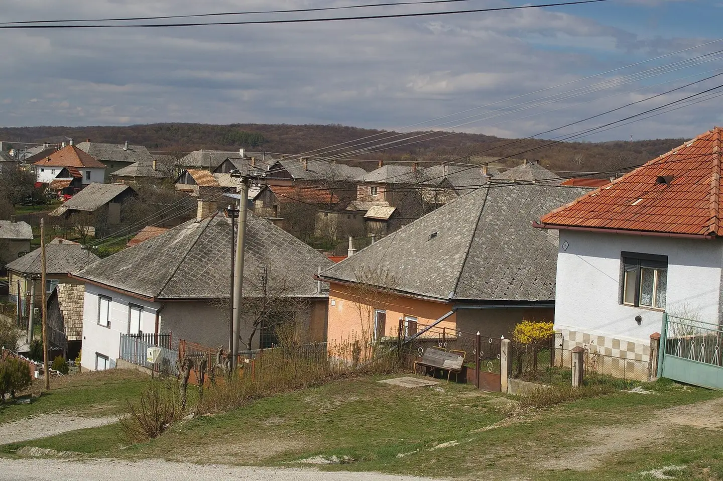
Silica village
Pavouk · CC BY-SA 3.0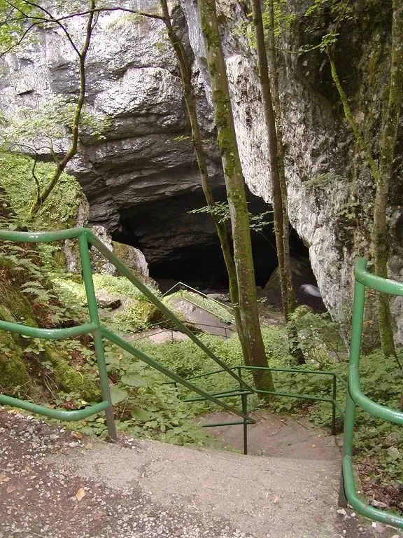
The Silická ľadnica, ice cave.
Martin Hlauka (Pescan) 09:16, 31 July 2005 (UTC) · Attribution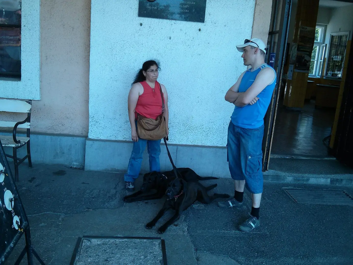
Várunk a vonatra - az árnyékban!
Vigyory · CC BY-SA 3.0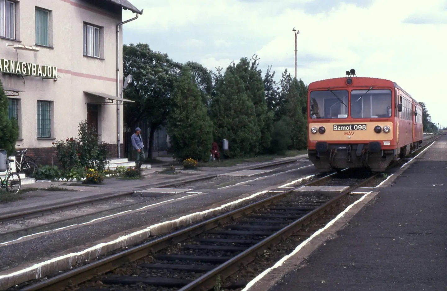
Taking advantage of a prolonged booked stop at Biharnagybajom, Bzmot 098 is seen on train 37644, 14:25 Szeghalom to Püspökladány. Photo taken 16 September 1996.
Phil Richards from London, UK · CC BY-SA 2.0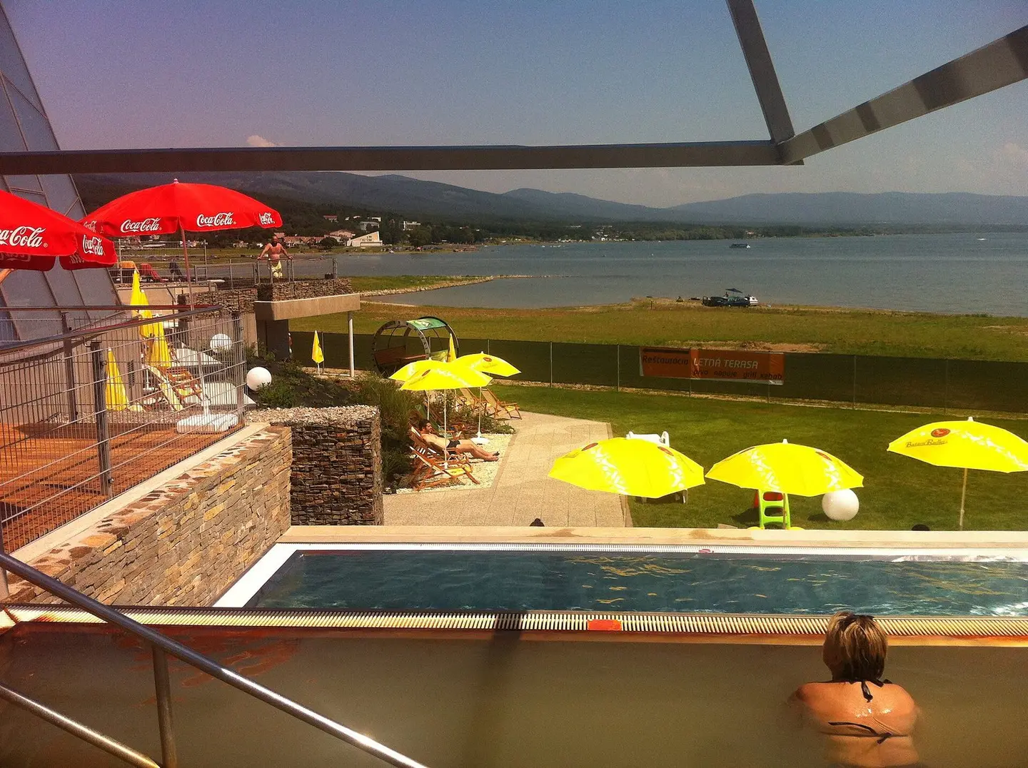
Aquapark Kaluža, Zemplínska šírava, Slovakia
Of · CC BY-SA 4.0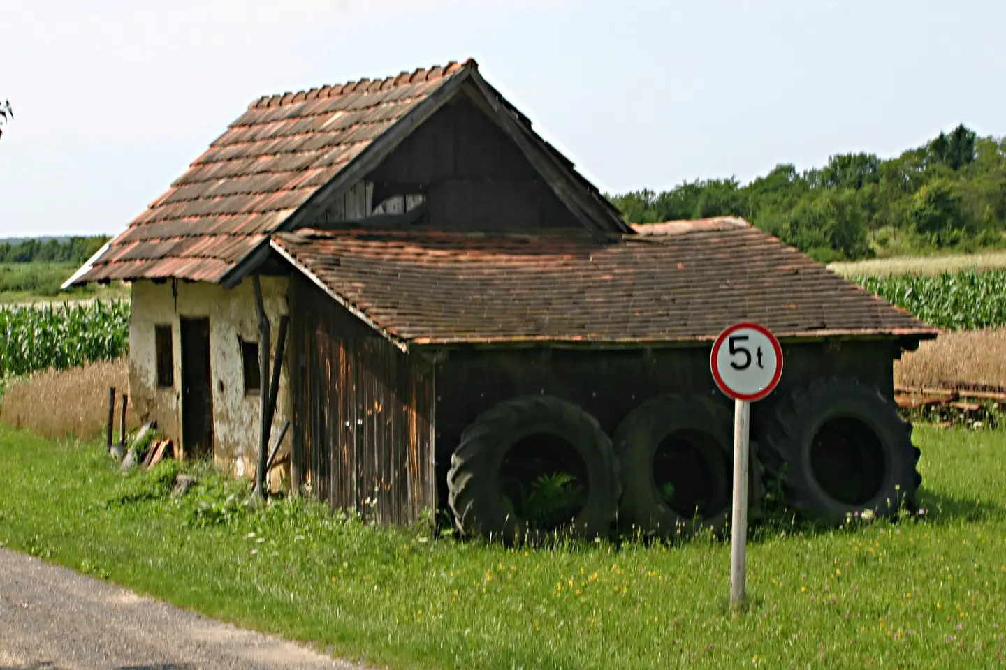
Szentgyörgyvölgy, Hungary
Kaszás Tibor · CC BY-SA 3.0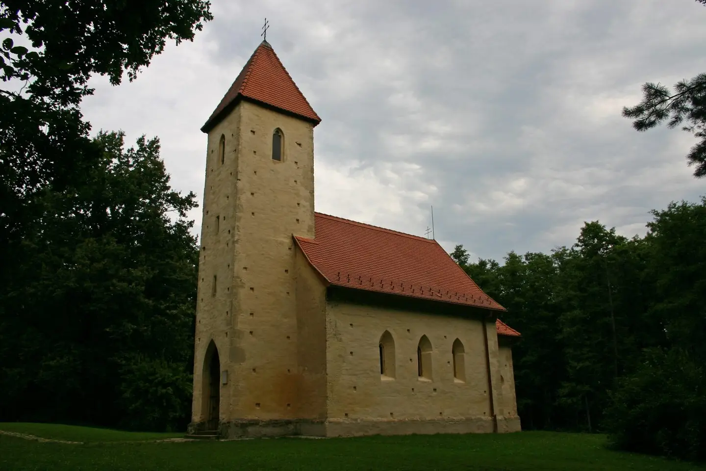
Veleméri templom
Kaszás Tibor · CC BY-SA 3.0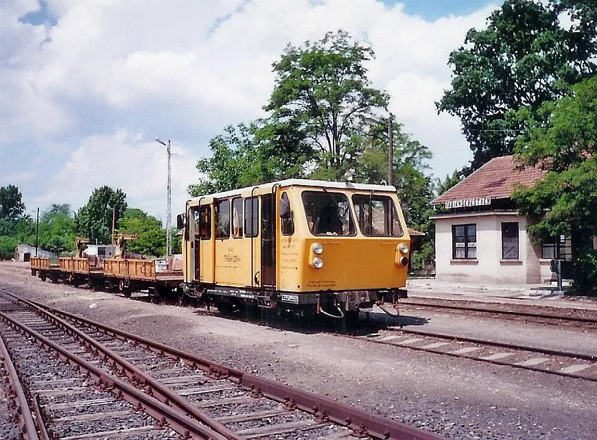
Fábiánsebestyéni vasútállomás tehervágánygépkocsival
Bede András · CC BY 3.0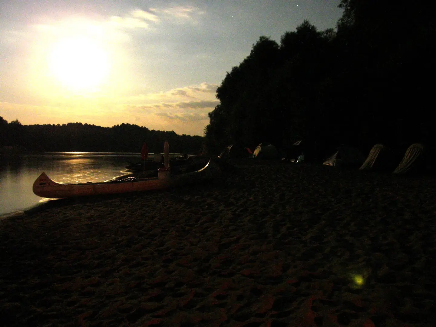
Éjszaka Tiszamogyorósnál
Nikl Gábor · CC BY-SA 3.0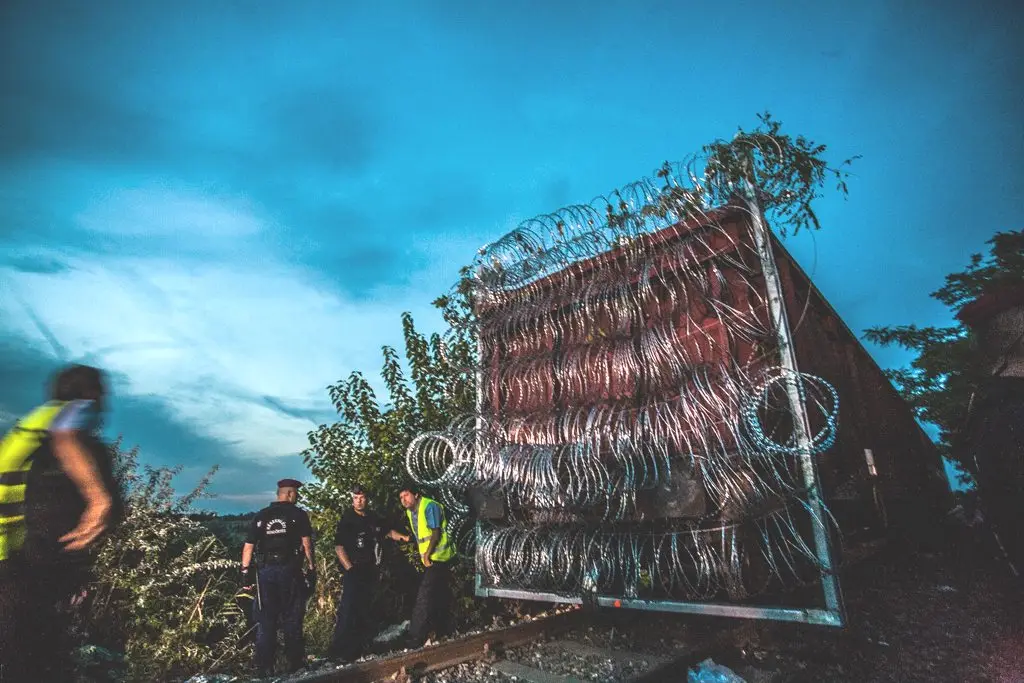
Railway wagon (H-RCH Eas-y; UIC number:31 55 5426 327-9) with barbed wire at Hungary-Serbia border barrier
Bőr Benedek · CC BY 2.0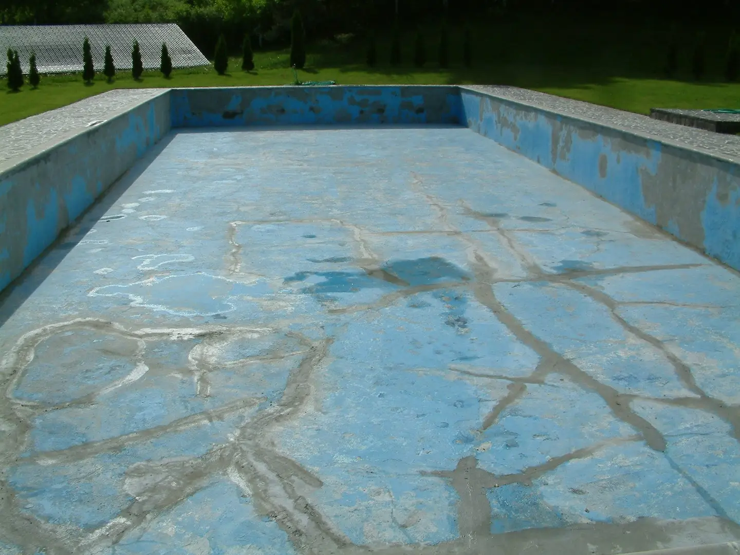
Az úszómedence _Obručná
Szodorai Imre [Hun] · CC BY 3.0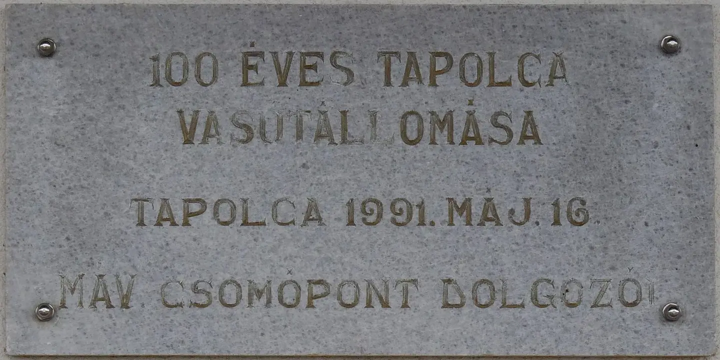
Plaque commemorating the centenary of the Tapolca railway station. It was affixed to the wall of the main building May 16, 1991. (No 7 Dózsa György Street, Tapolca)
Fekist · CC BY-SA 4.0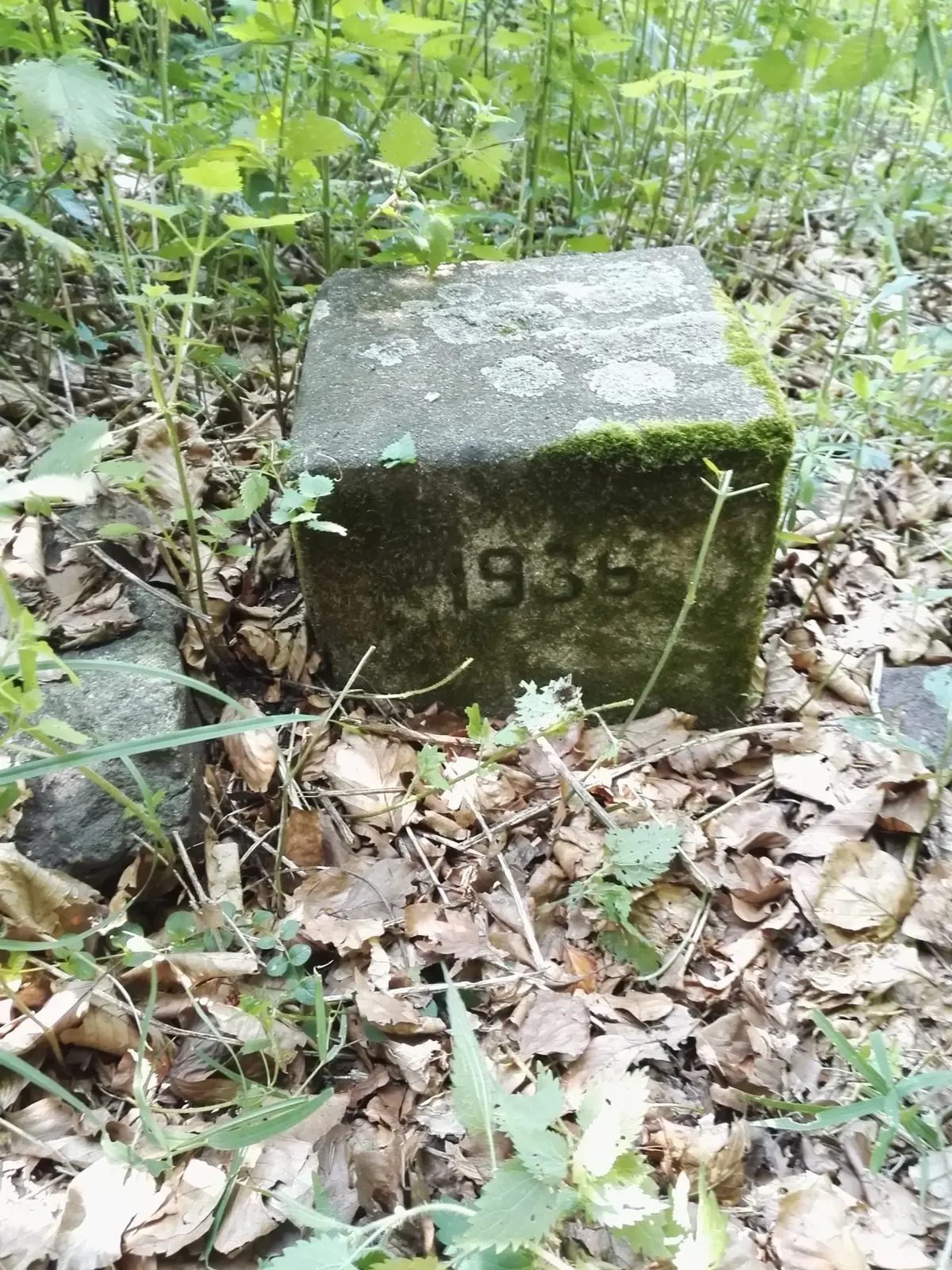
Ez egy hegycsúcs a Zemplénben
GyőzőMiki · CC BY-SA 4.0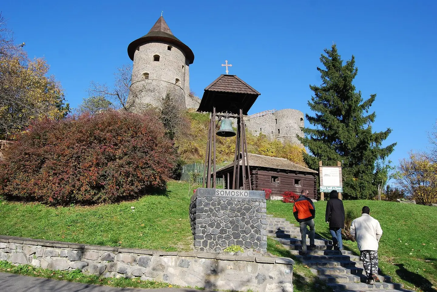
Somoskői vár
Sztudva Gyöngyi · CC BY-SA 3.0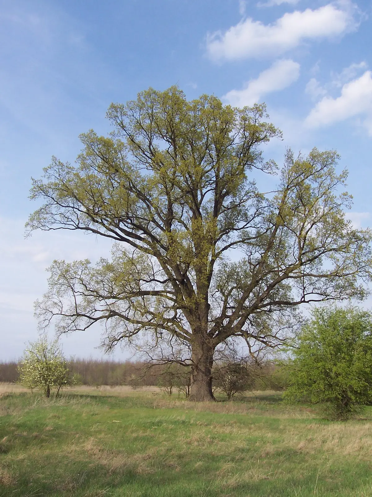
Tölgy. Nyársapát. Magyarország
Bocskai László · CC BY 3.0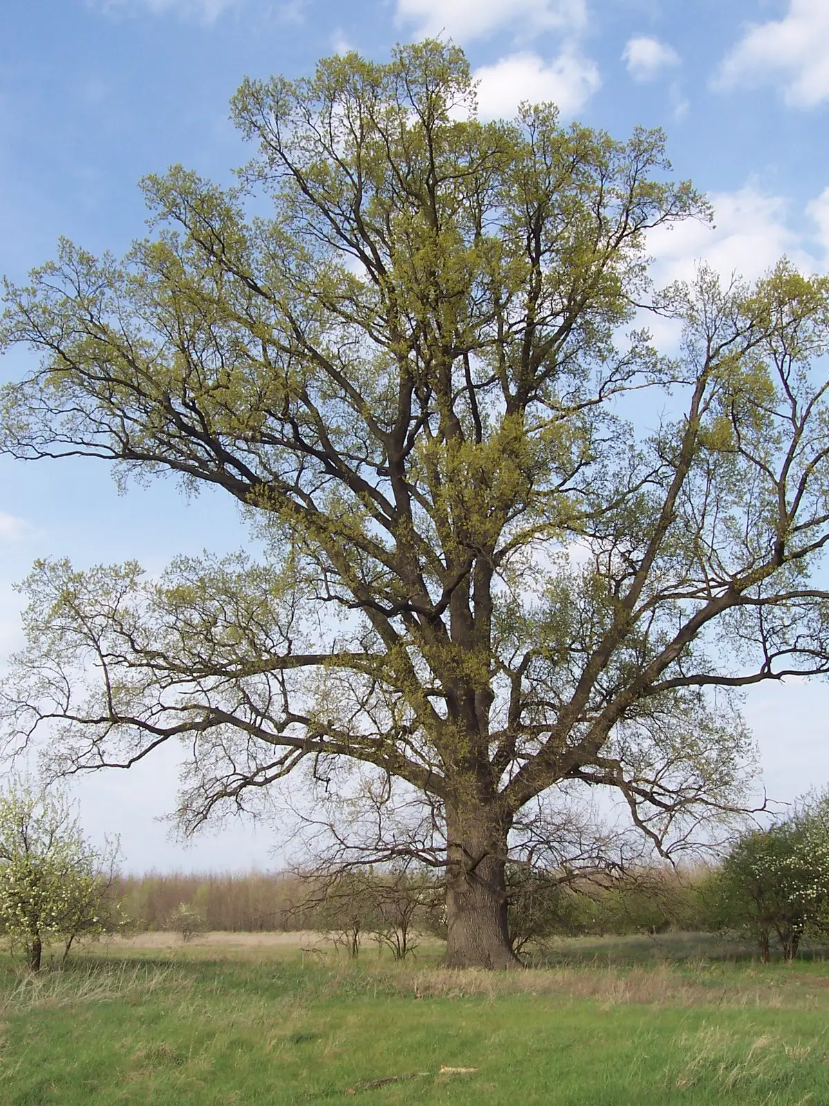
Tölgy. Nyársapát. Magyarország
Bocskai László · CC BY 3.0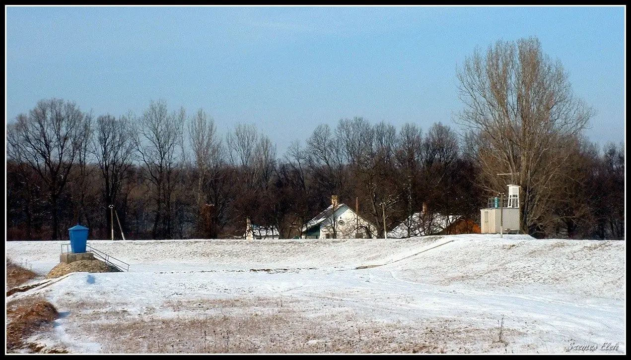
Garbolc, 4976 Hungary
Szemes Elek · CC BY-SA 3.0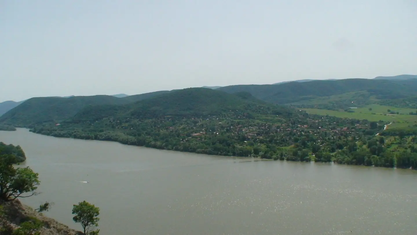
Szamár-hegy
emanacio - Mr.… · CC BY 3.0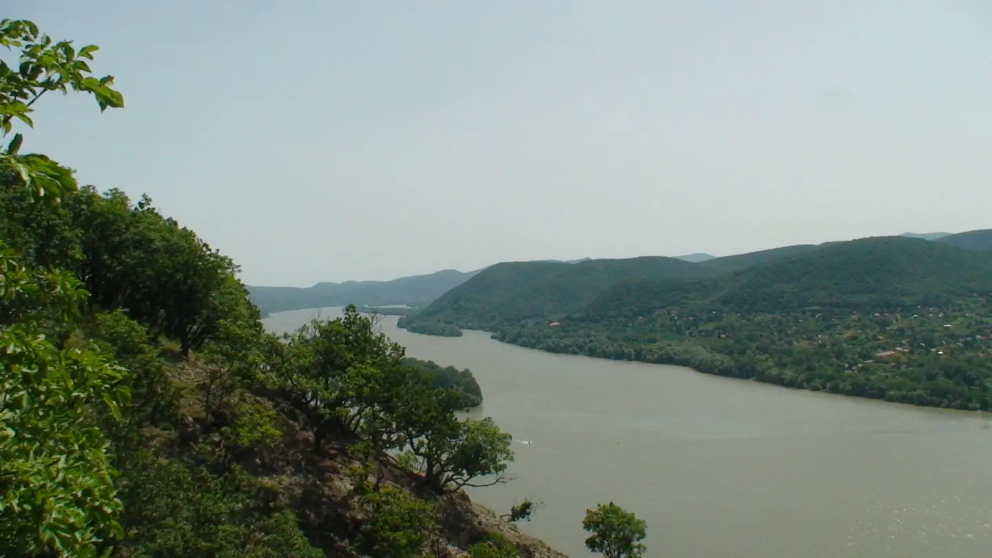
Búbánat -völgy
emanacio - Mr.… · CC BY 3.0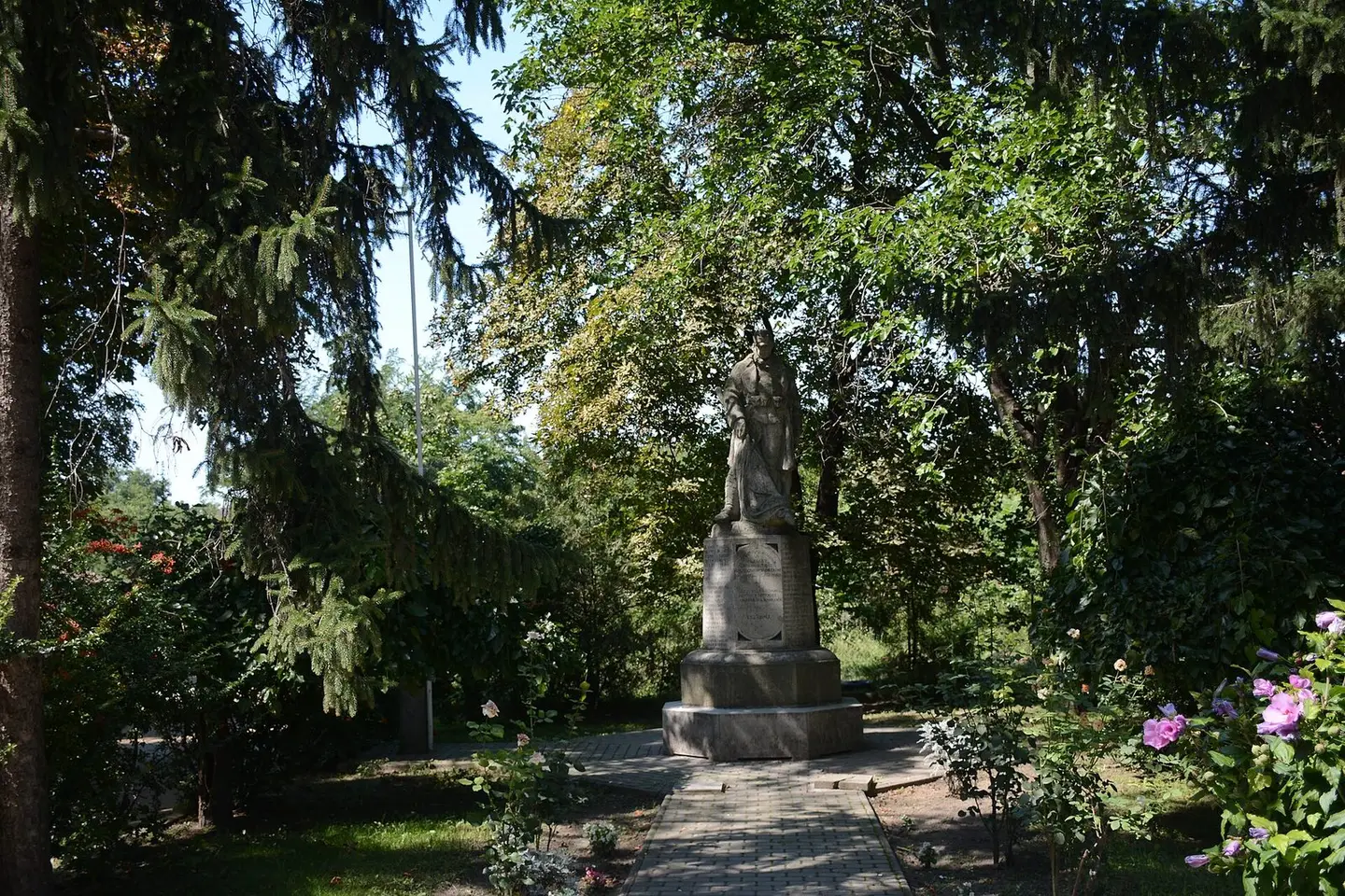
szobor
Lajos Gál · CC BY-SA 3.0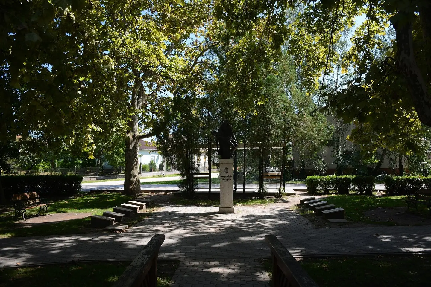
szobor
Lajos Gál · CC BY-SA 3.0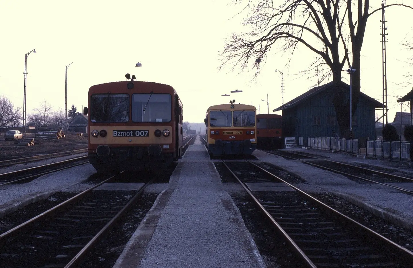
February 1998 saw me visit Hungary to cover more secondary lines. Seen here at Bars on 5 February 1998 are a pair of Bzmot railcars. The one to the let is 007 on train 38114, 14:10Barcs to Villány a journey time of some 3 hours and 23 minutes. Refurbished unit no. 378 is seen to the right. Passenger services on the line from Barcs to Villány were discontinued in 2007.
Phil Richards from London, UK · CC BY-SA 2.0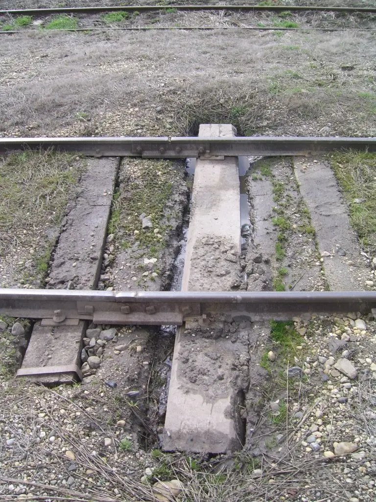
Detail of the track, Fábiánsebestyén, Hungary
Beroesz · CC BY-SA 3.0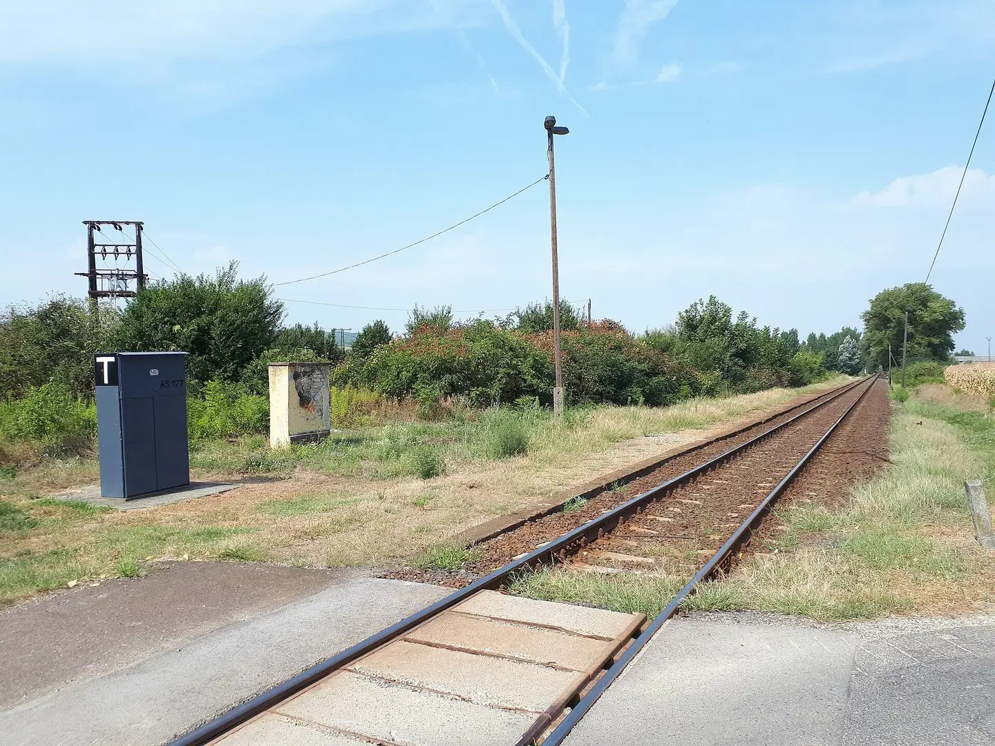
Az egykori ravazdi megállóhely a Győr–Veszprém-vasútvonalon
Tothh417 · CC BY-SA 4.0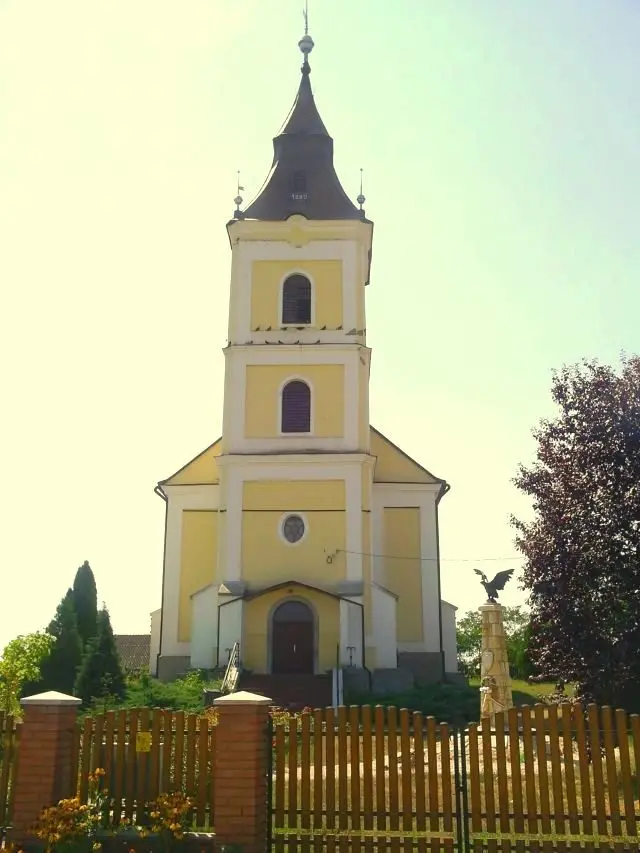
Reformed church in Tiszamogyorós, Hungary
Nfj · CC BY-SA 2.5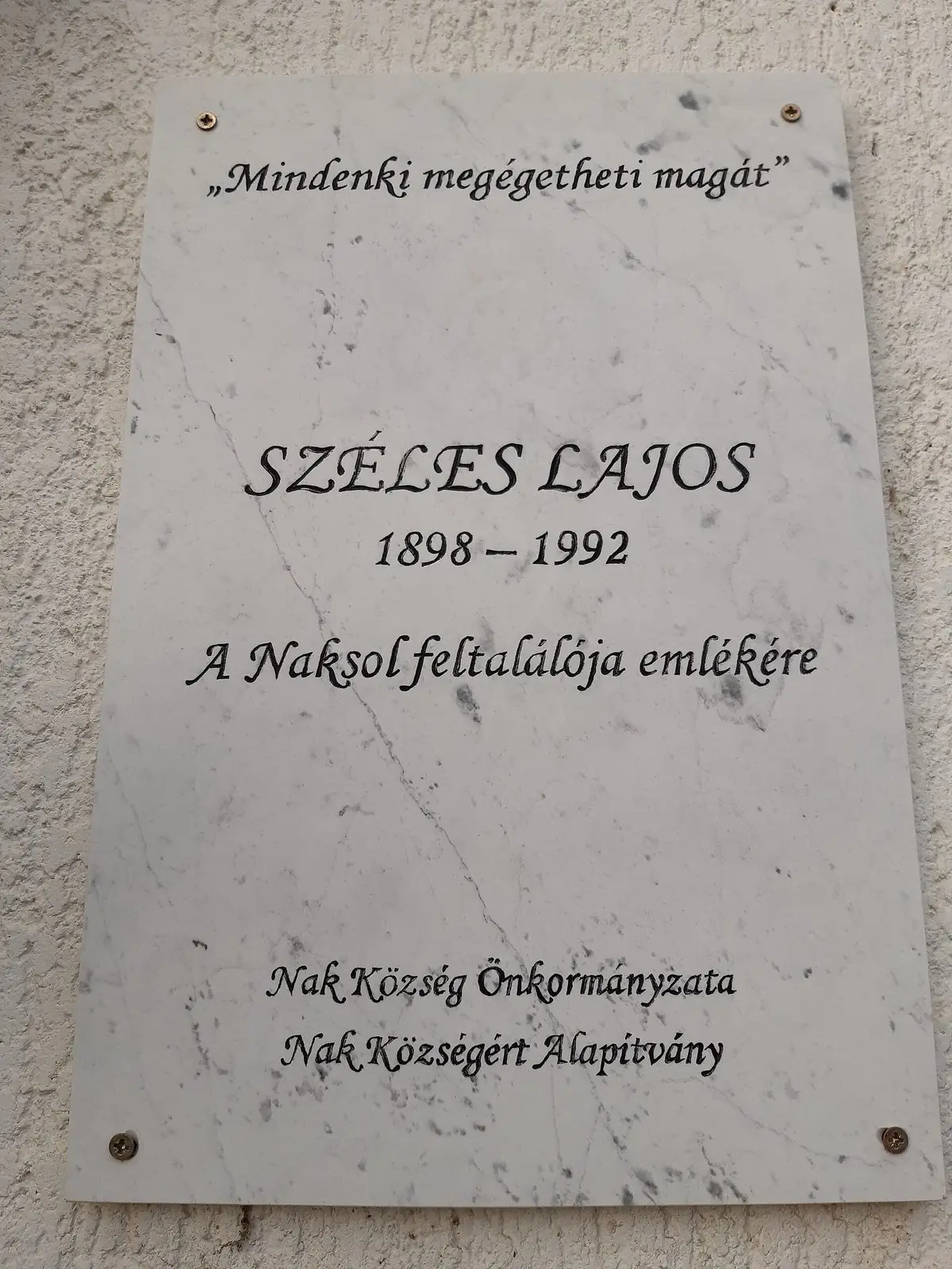
Széles Lajosnak, a Naksol feltalálójának emléktáblája szülőfalujában, Nakon
Gnagyrobi · CC BY-SA 4.0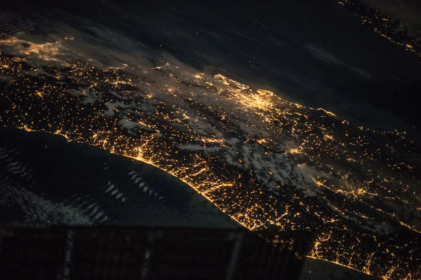
View of Earth taken during ISS Expedition 43.
Earth Science and Remote Sensing Unit, Lyndon B. Johnson Space Center · Public domain
View of Earth taken during ISS Expedition 43.
Earth Science and Remote Sensing Unit, Lyndon B. Johnson Space Center · Public domain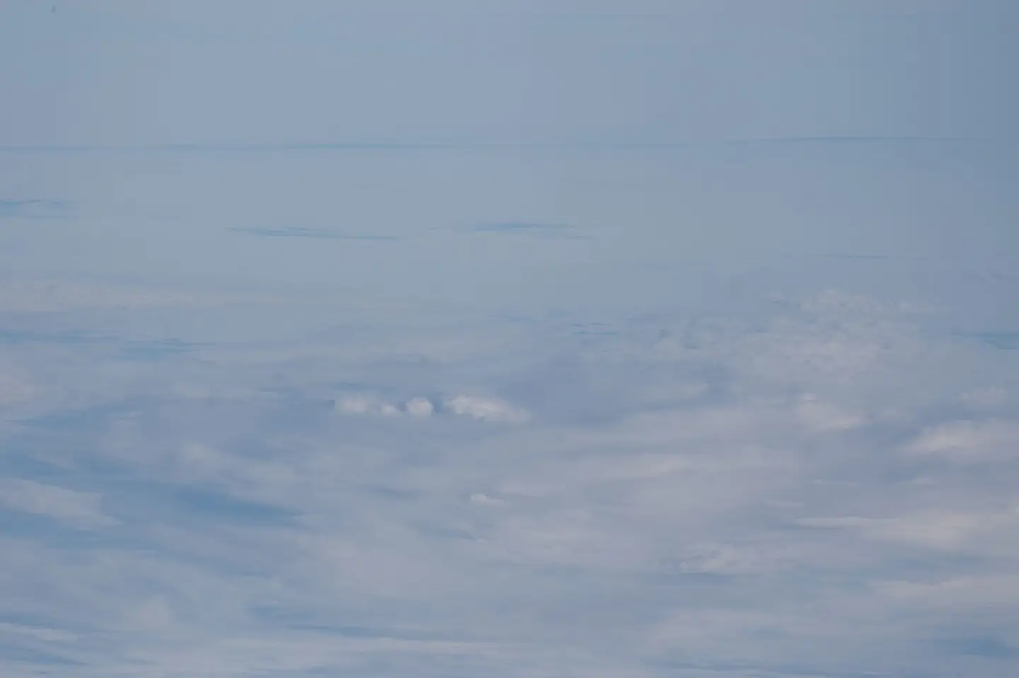
View of Earth taken during ISS Expedition 45.
Earth Science and Remote Sensing Unit, Lyndon B. Johnson Space Center · Public domain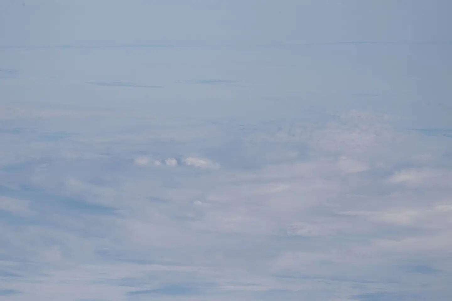
View of Earth taken during ISS Expedition 45.
Earth Science and Remote Sensing Unit, Lyndon B. Johnson Space Center · Public domain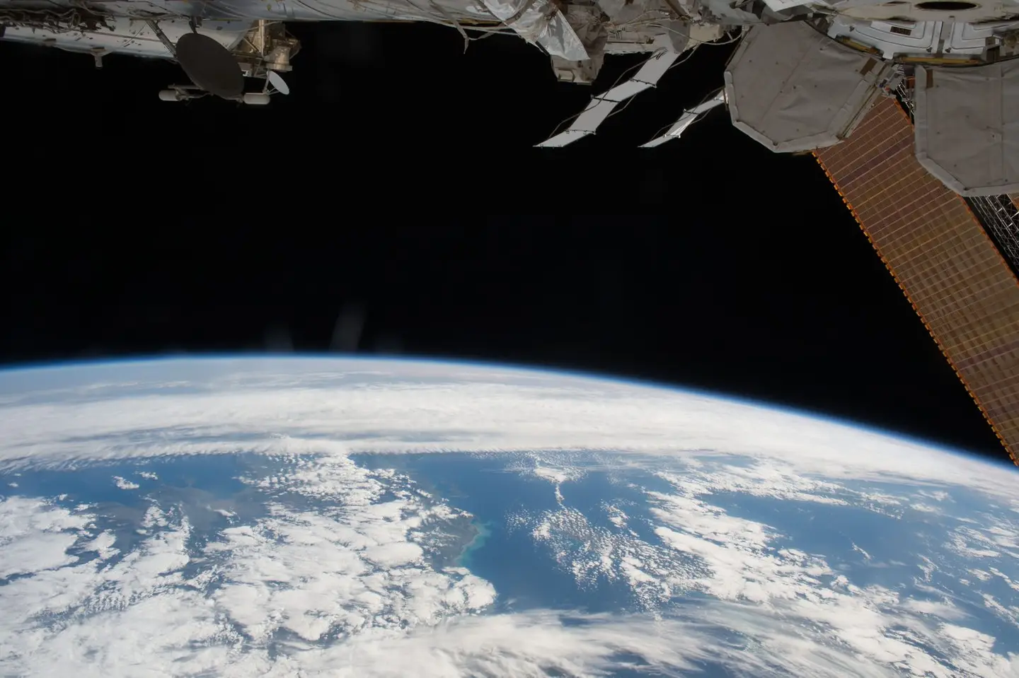
View of Earth taken during ISS Expedition 51.
Earth Science and Remote Sensing Unit, Lyndon B. Johnson Space Center · Public domain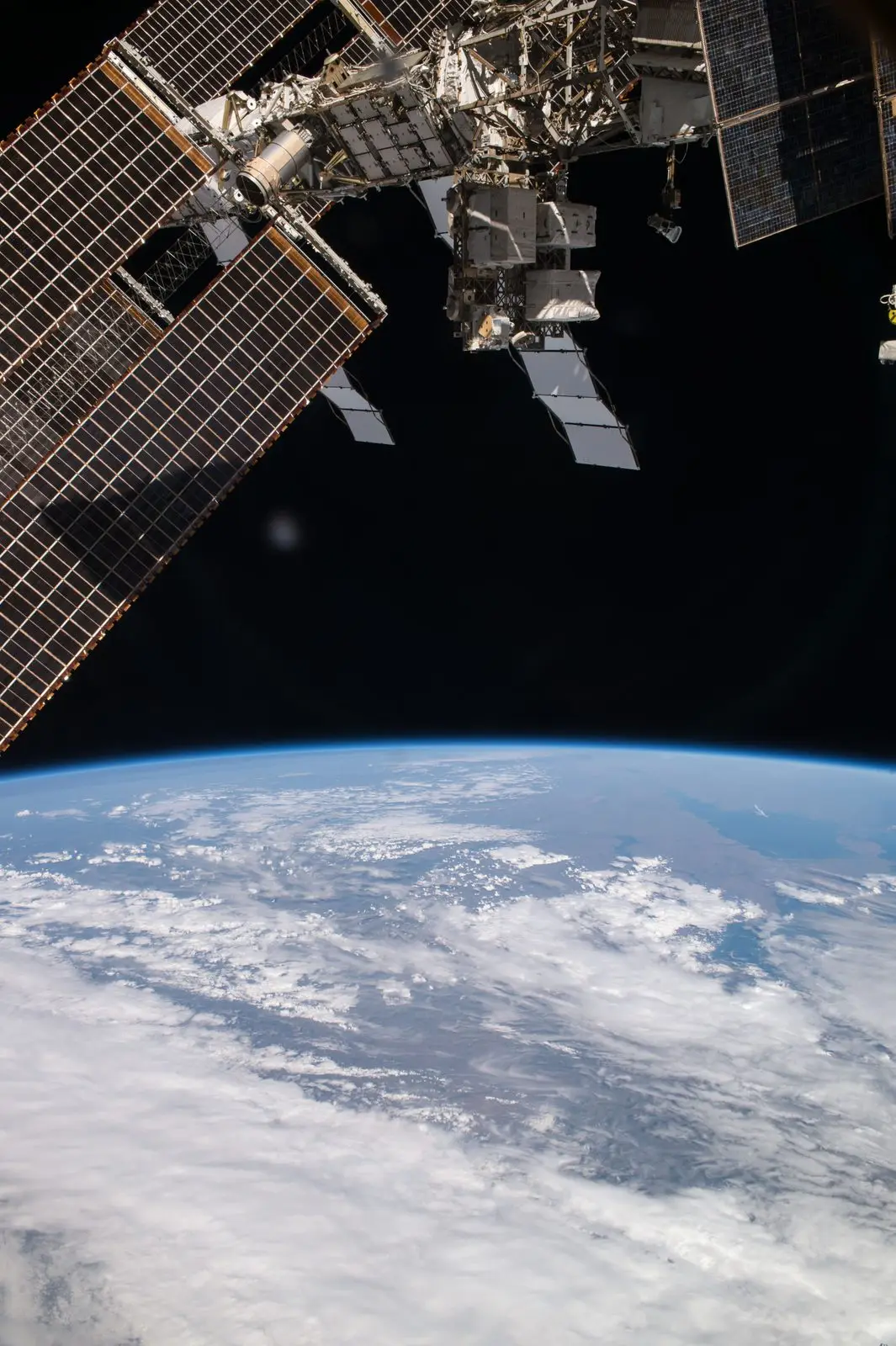
View of Earth taken during ISS Expedition 52.
Earth Science and Remote Sensing Unit, Lyndon B. Johnson Space Center · Public domain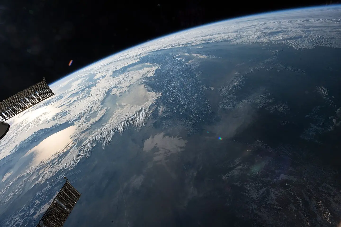
View of Earth taken during ISS Expedition 53.
Earth Science and Remote Sensing Unit, Lyndon B. Johnson Space Center · Public domain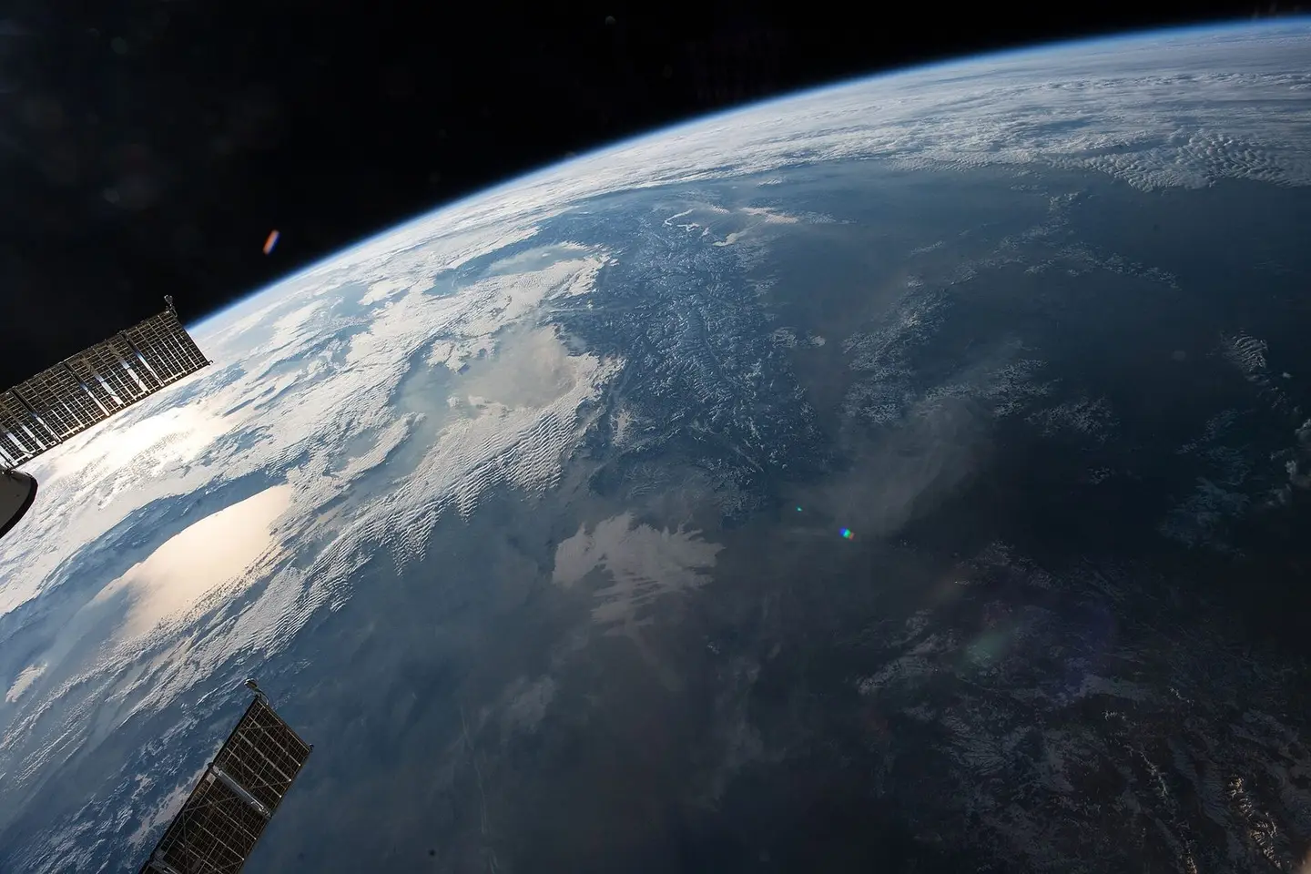
View of Earth taken during ISS Expedition 53.
Earth Science and Remote Sensing Unit, Lyndon B. Johnson Space Center · Public domain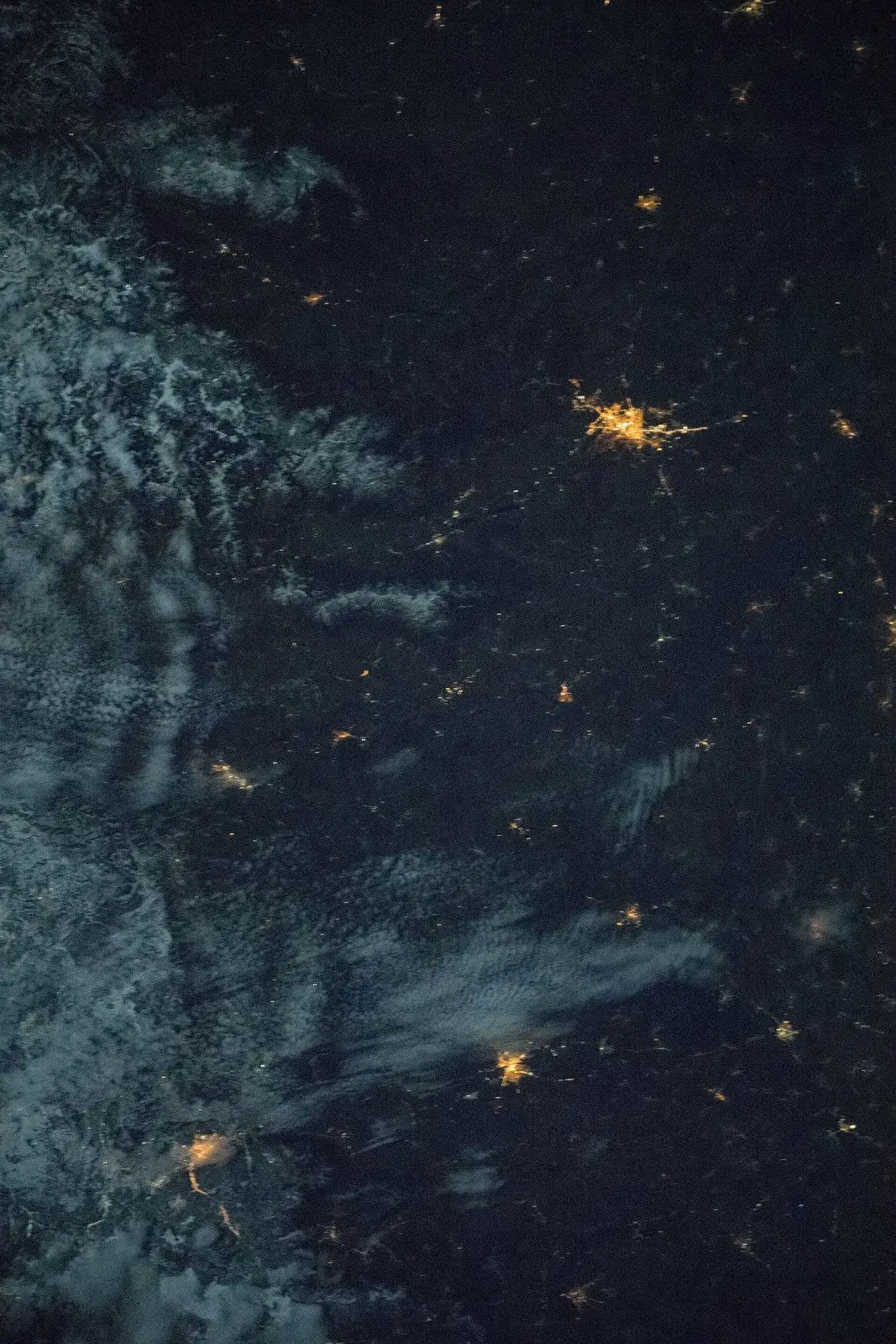
View of Earth taken during ISS Expedition 54.
Earth Science and Remote Sensing Unit, NASA Johnson Space Center · Public domain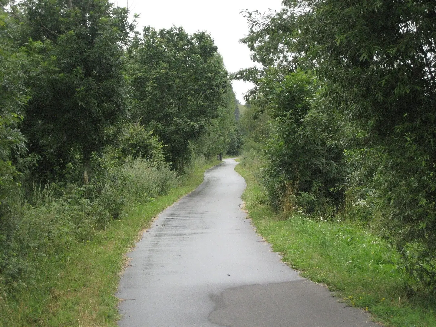
Drauradweg3.jpg
Emes · CC BY-SA 3.0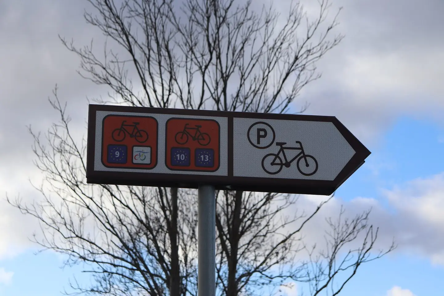
Bogatka - cycling route
Andrzej Otrębski · CC BY-SA 4.0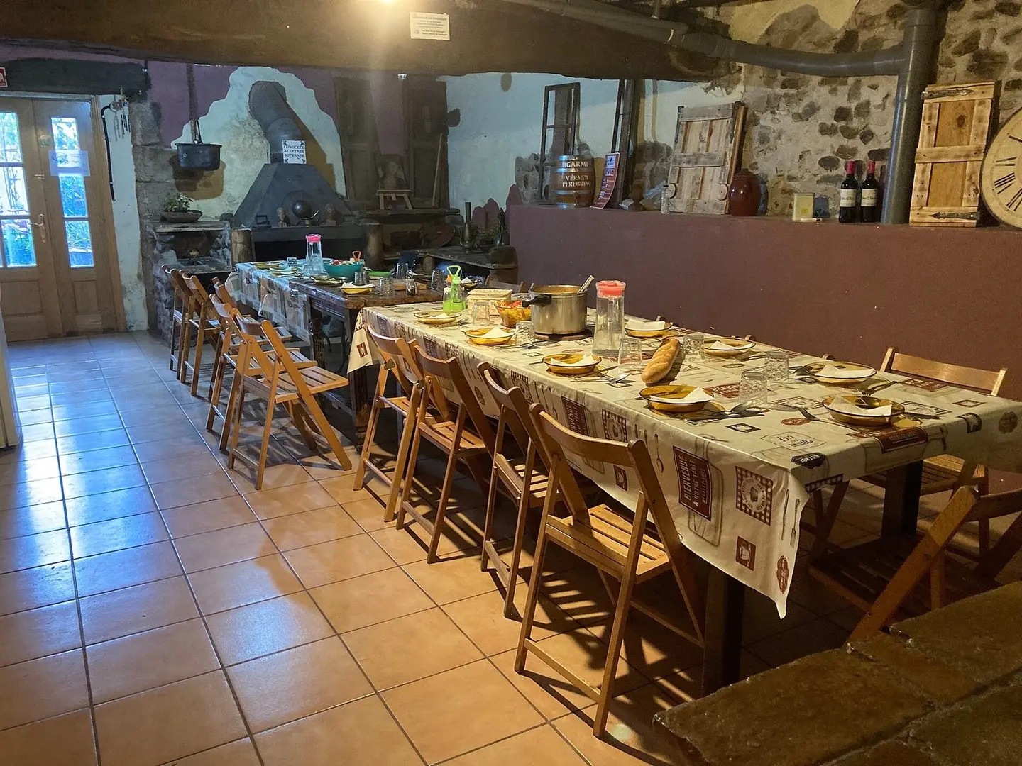
寄付制のアルベルゲでの夕食の例
Zakkful · CC BY-SA 4.0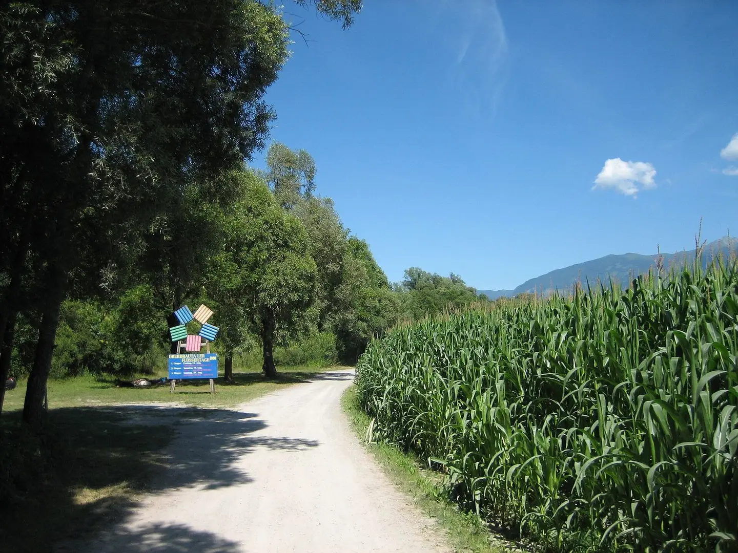
"Drauradweg" R1 near Radlach / Carinthia / Austria
Philipp Steiner · CC BY-SA 3.0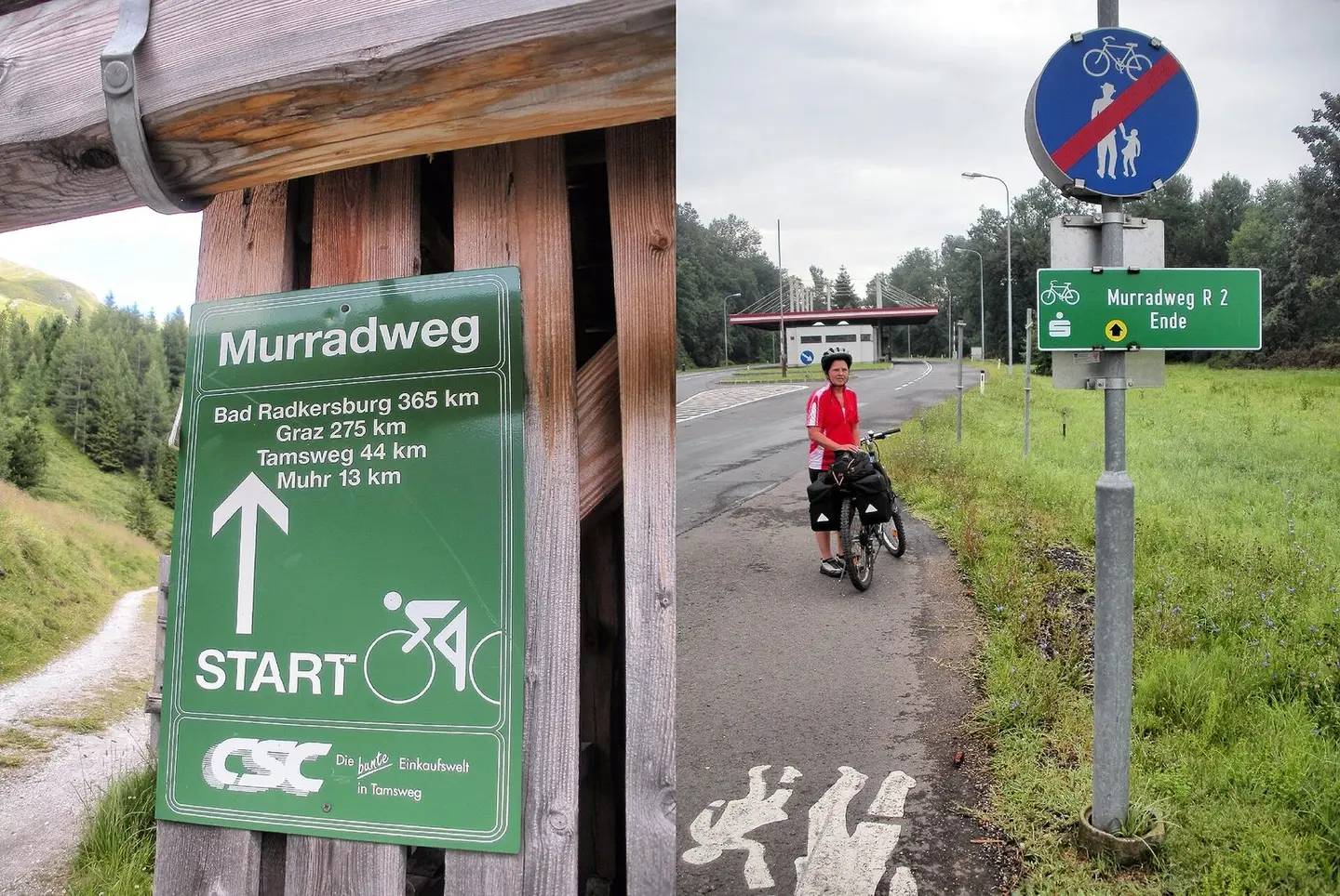
Start des österreichischen Murradwegs bei der Sticklerhütte im salzburgischen Lungau und dem seinerzeitigen Ende desselben kurz vor dem Grenzübergang von Österreich nach Slowenien bei Sicheldorf in der Steiermark
BikeMike · Public domain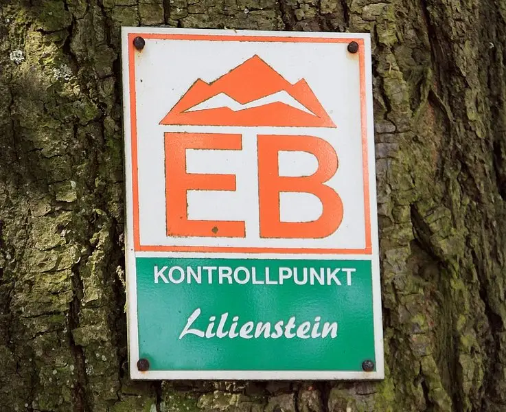
Lilienstein: sign of the international hiking trail from Eisenach to Budapest.
Norbert Kaiser · CC BY-SA 3.0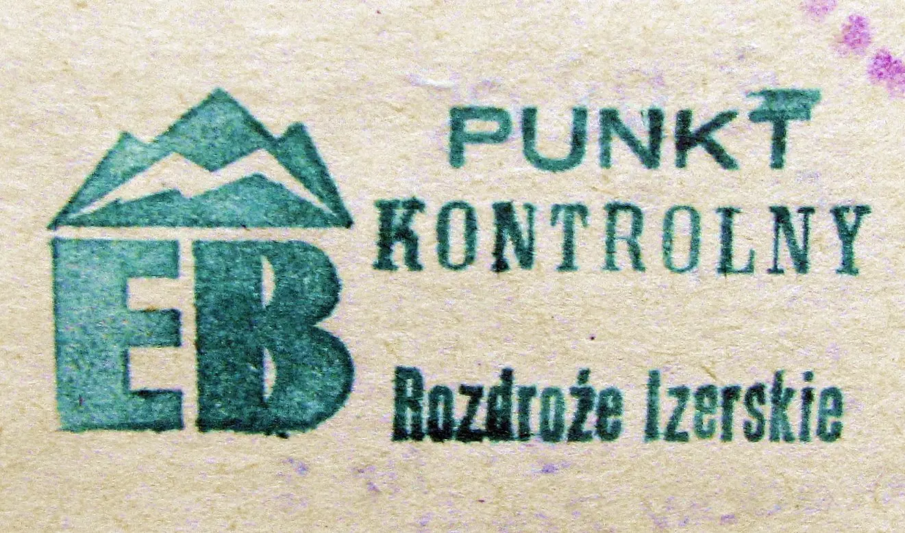
Pieczątka punktu kontrolnego szlaku Eisenach - Budapeszt z 1986 r.
Mariuszjbie · CC BY-SA 3.0
Unknown descriptionUnknown description
Kalh · Public domain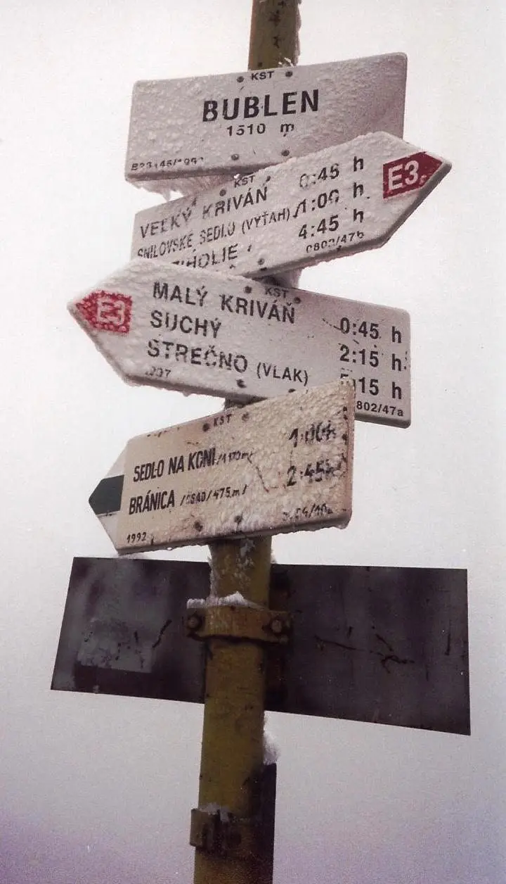
Sign of the E3 European long-distance footpath on the Malá Fatra mountains in northern Slovakia in about May 2004.
Duncanogi · Public domain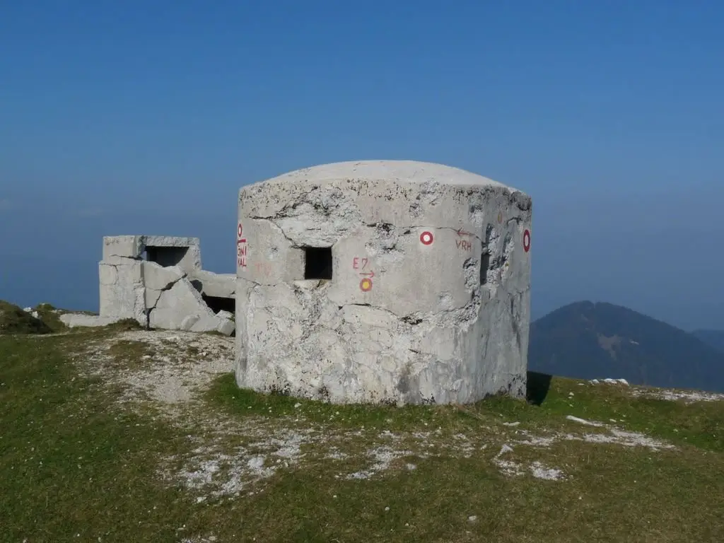
Bunker Rupnikove linije na Blegošu
Miran Hladnik · CC BY-SA 2.5 si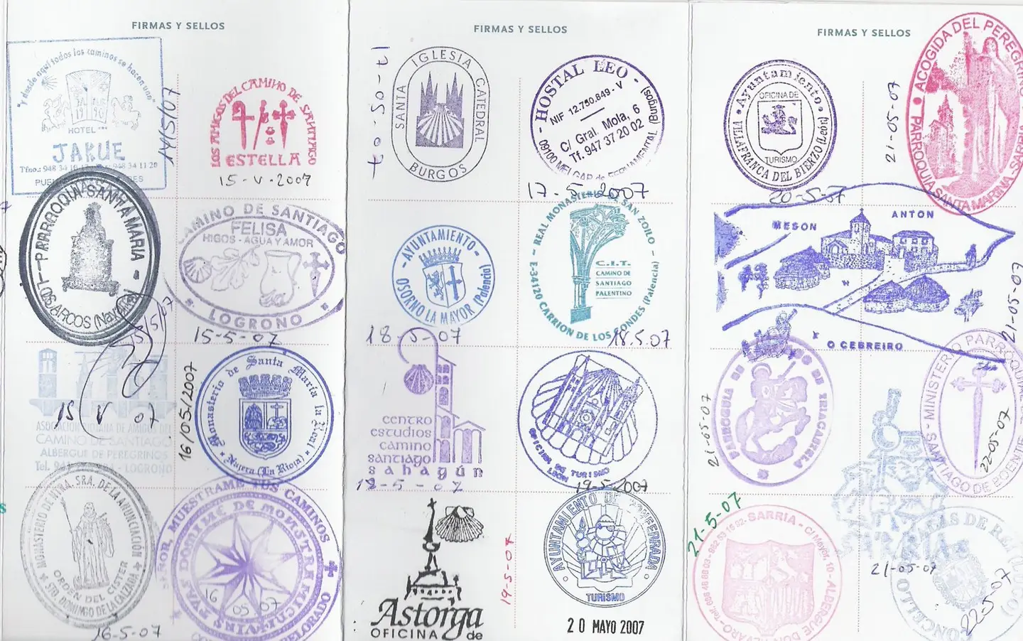
Picture of St. James stamps in Spain stamped in "Way of St. James" pilgrim passport from May 2007 bicycle trip (the passport was obtained beforehand in Utrecht at the Dutch Confraternity office there). The route taken was determined by the St. James waybook guide called "St. Jacobs Fietsroute" by Clemens Sweerman. Scan date: June 2007
Jane023 Scanned and uploaded: June 2007 · Public domain
Welcome sign of the Blue Tour end in village Hollóháza.
Horvabe · CC BY-SA 3.0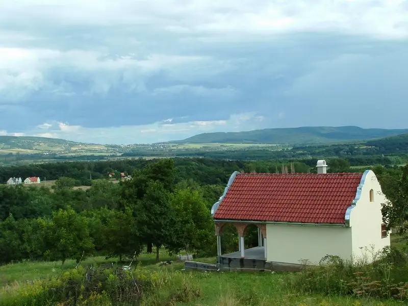
The view of the Highland of Balaton (txt from Magyarország page)
Horvabe · CC BY-SA 3.0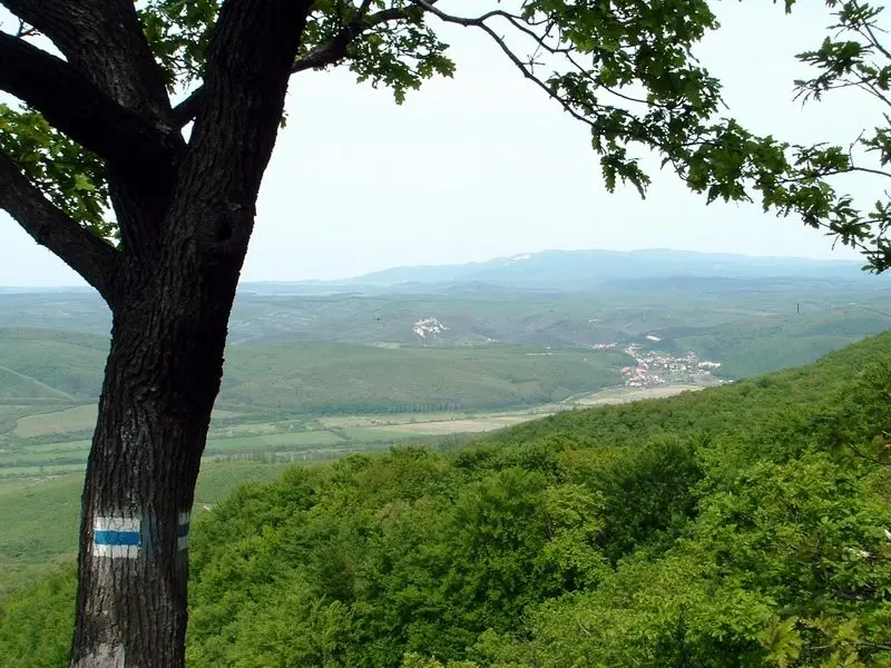
A standard blue trail marking with two faces on a tree at the ridge of the Mátra Mountains
Horvabe · CC BY-SA 3.0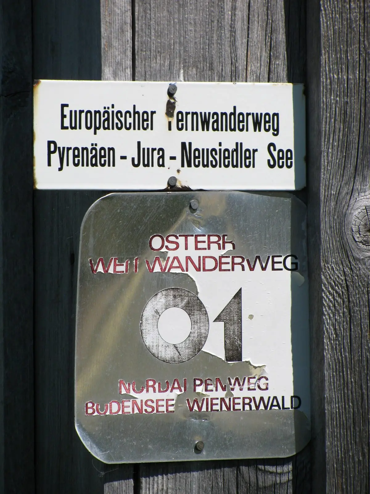
Austria - Vorarlberg - district Bludenz - Fontanella - Bartholomäusalpe: long-distance paths trail labels (E4 European long distance path and 'Österreichischer Weitwanderweg 01')
ANKAWÜ · CC BY-SA 3.0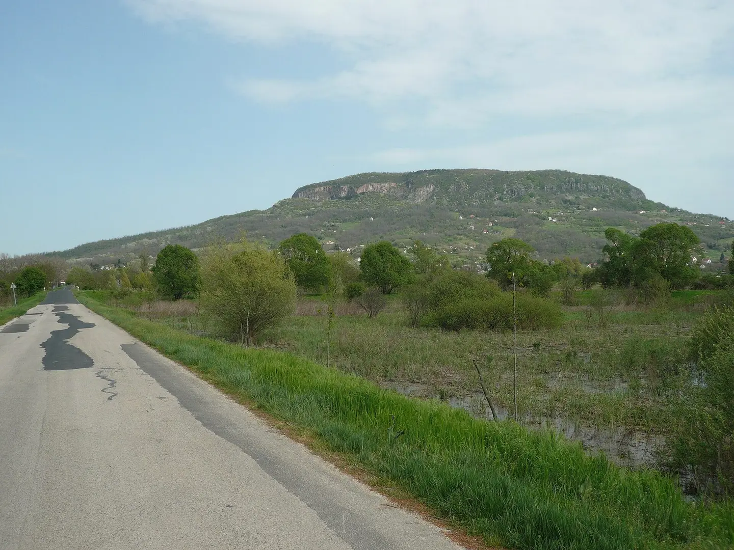
Balaton cycling route near Badacsonytördemic
Ramessos · CC BY-SA 3.0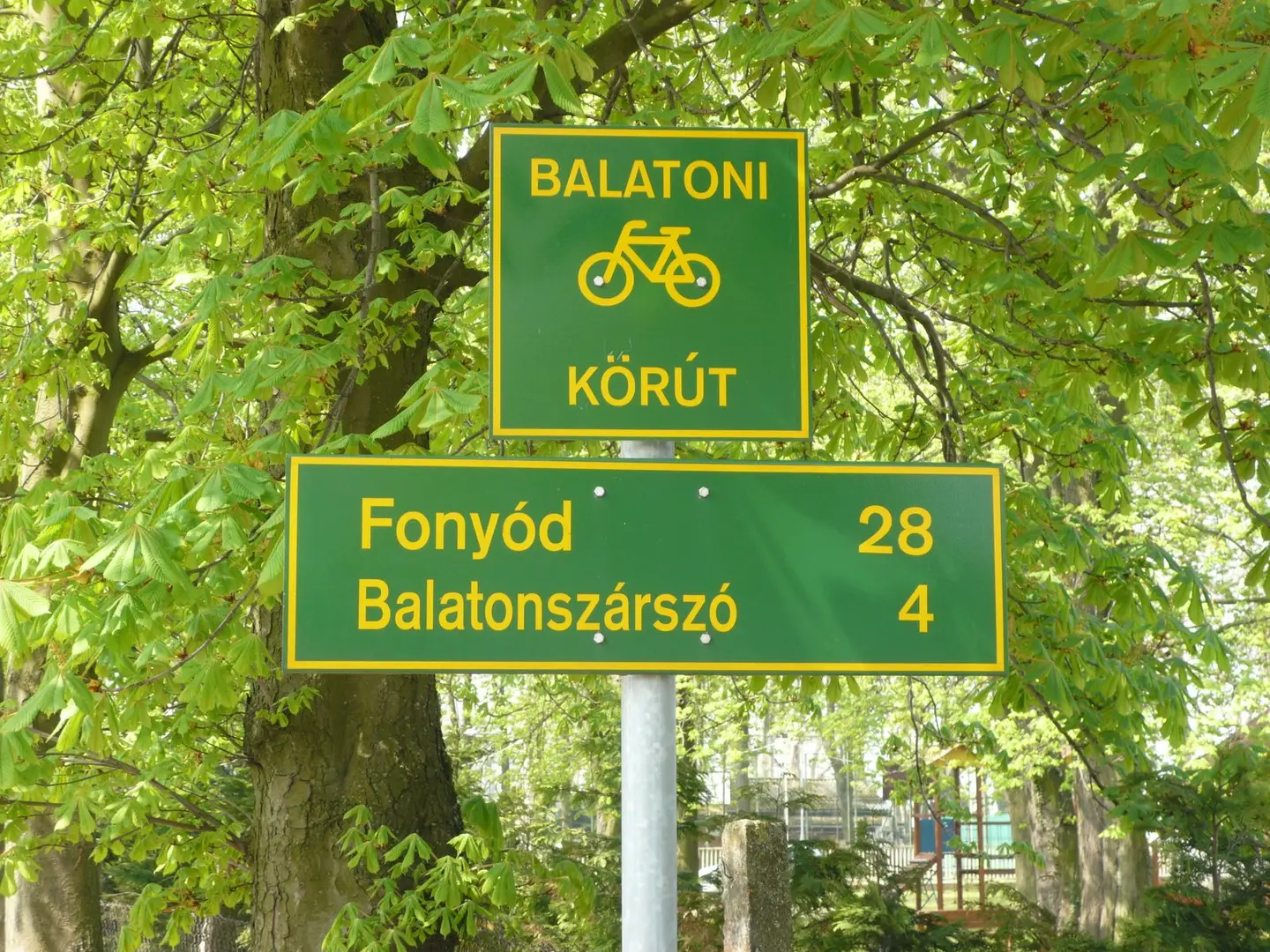
Balaton cycling route: Signs
Ramessos · CC BY-SA 3.0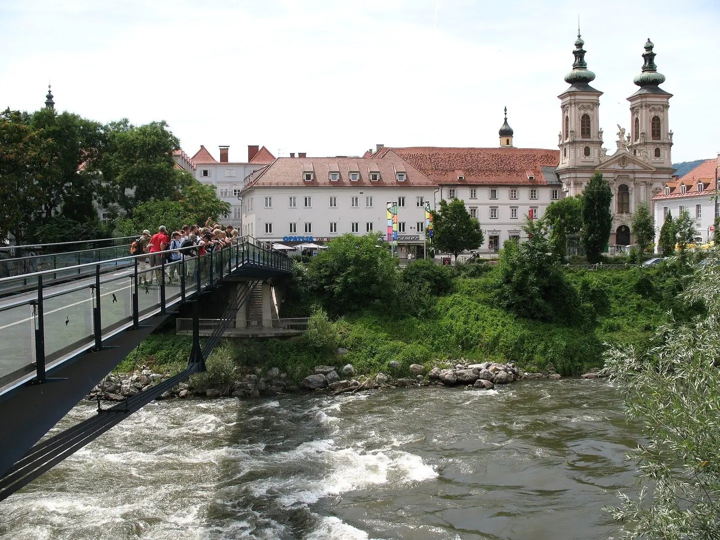
Mariahilfkirche (lit. "Mary Help Church"), Graz, Austria
Andrew Bossi · CC BY-SA 2.5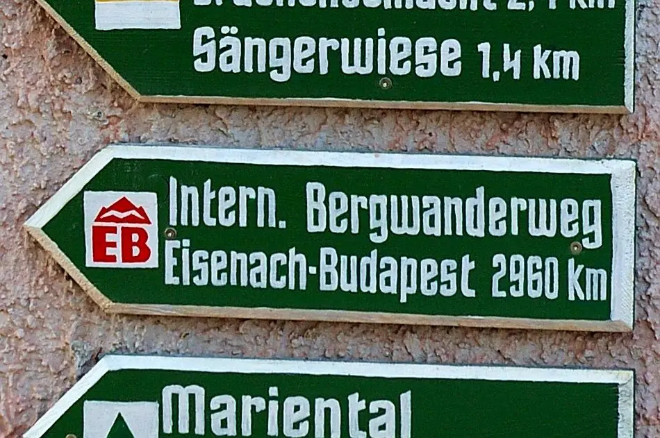
Internationale Bergwanderweg der Freundschaft Eisenach–Budapest, Schild unterhalb der Zugbrücke der Wartburg am Start - bzw. Endpunkt des Weges.
N-Lange.de · CC BY-SA 3.0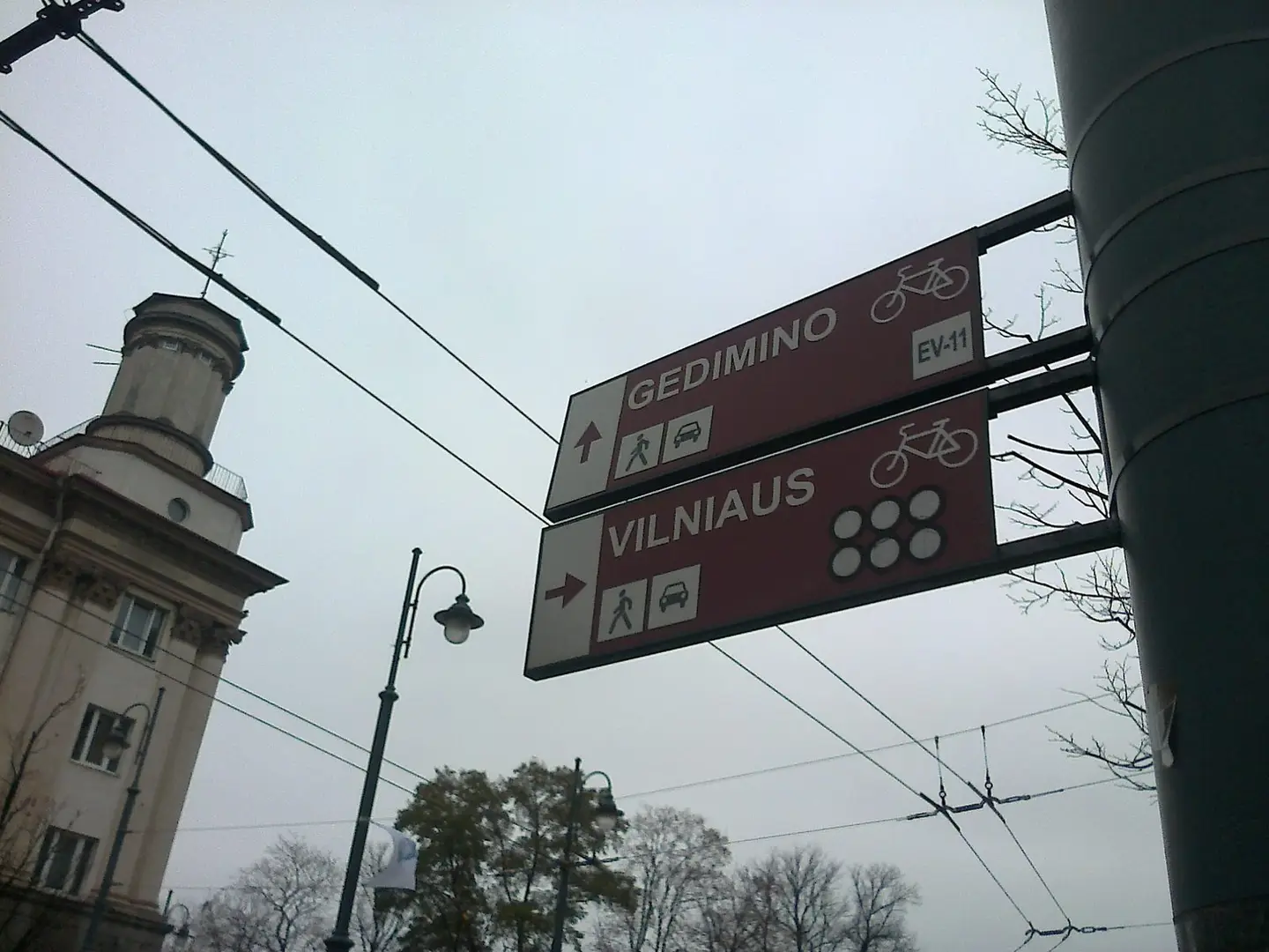
Sign in Vilnius for EuroVelo 11.
Kaihsu Tai · CC BY-SA 3.0
Iron Curtain Trail Schild
Thilo Langbein · CC BY-SA 3.0
Aerial photograph of the Balaton cycling route near Fenékpuszta
Civertan · CC BY-SA 3.0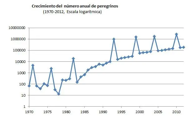
Annual growth of the number of pilgrims in the way to Santiago de Compostela
User Hca5900 · CC0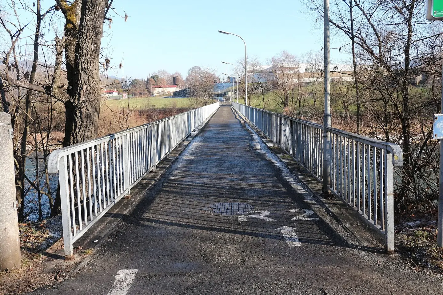
Fußgängerbrücke über die Mur in der steirischen Stadt Leoben an der Stadtteilgrenze zwischen Judendorf und Mühlthal (Blickrichtung). Hier verläuft der Murradweg.
Eweht · CC BY-SA 4.0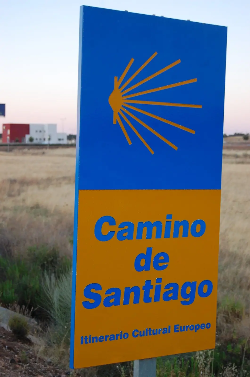
Plake del voye a Sint-Djåke-el-Galice
Lucyin · CC BY-SA 4.0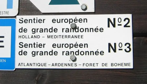
Footpath signs for the European long-distance paths 2 and 3 in Luxembourg. On the side of a hut at approximately 49° 56' 39.2778", 6° 11' 49.4406".
David Edgar · CC BY-SA 3.0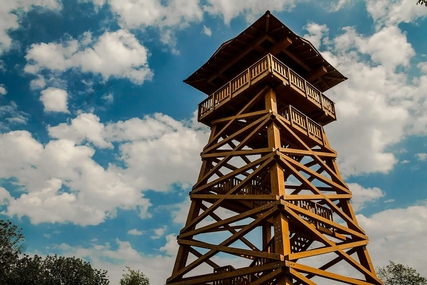
Bati-kereszt kilátó a A kilátó a Szekszárdi-dombság északi részén, annak egyik legmagasabb pontján áll a Dél-Dunántúli Kék Túra, a magyar Zarándokút és a Mária út közelében. 2015-ben adta át a Gemenc Zrt. a dombság legnagyobb kilátóját, amely a szekszárdi Remetétől kb.2 km-re a Bati-kereszt mellett áll. Hatalmas, hétszintes torony.
Nyiffi · CC BY-SA 4.0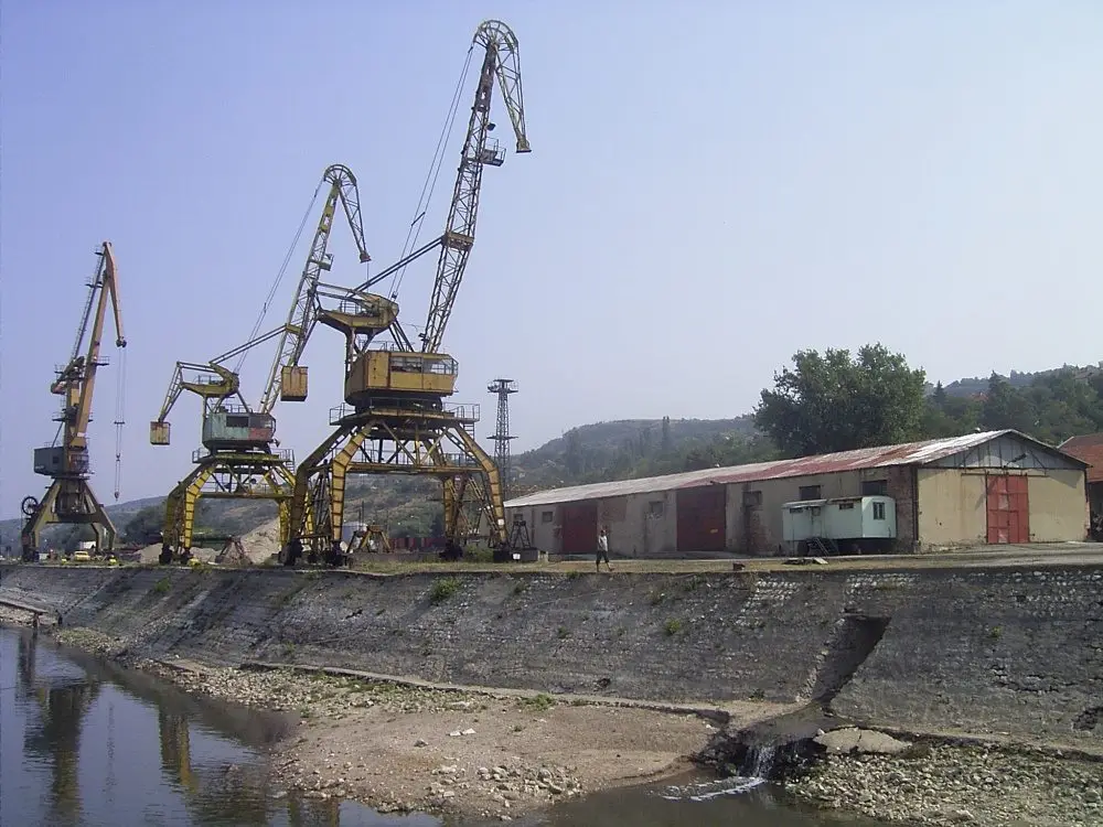
Orjachowo Bulgaria 2004 Port
Denis Barthel · CC BY-SA 3.0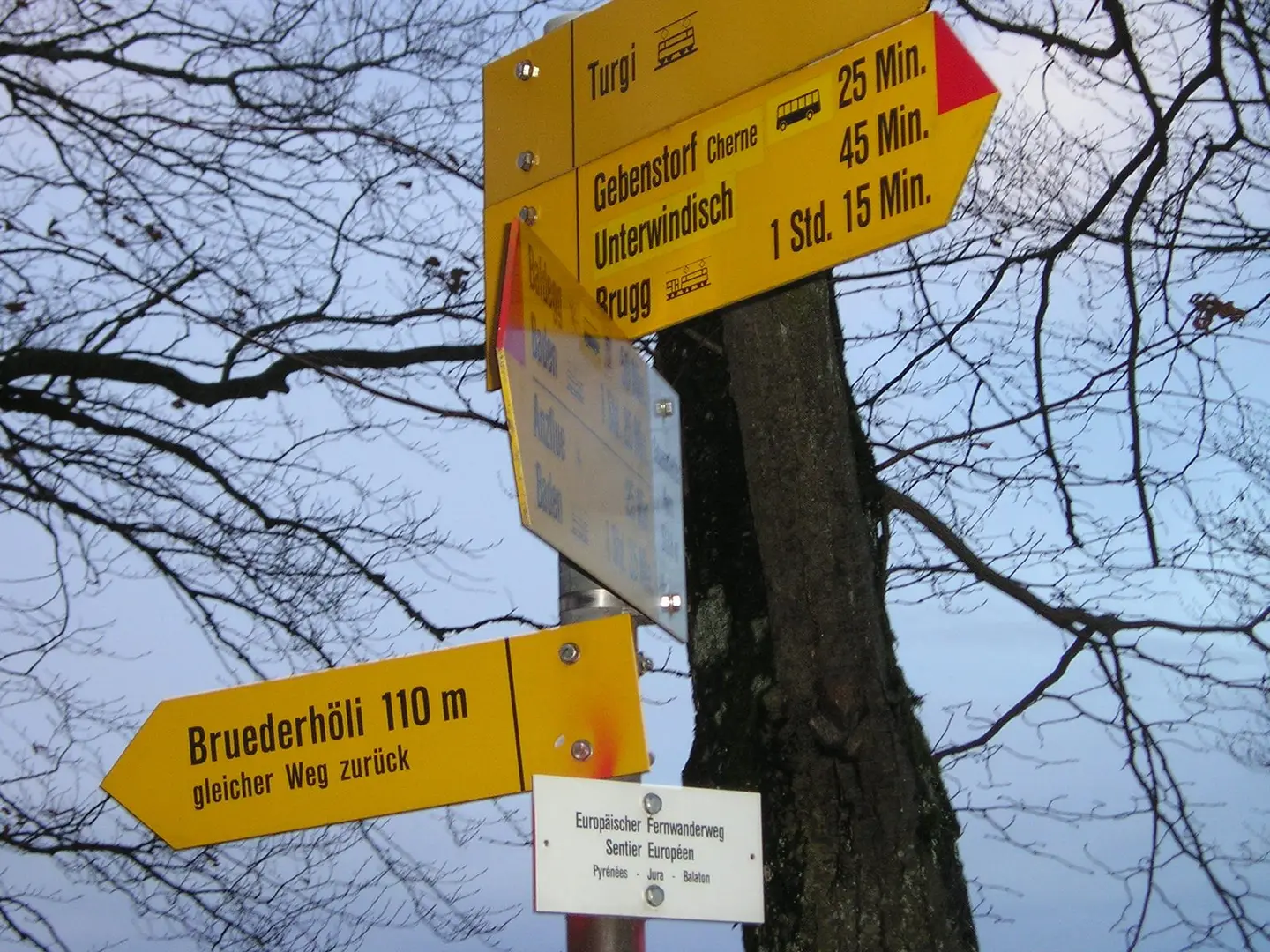
Sign of European Walkingpath Pyrénées - Jura - Balaton (part of E4), Gebenstorfer Horn, Switzerland
Badener · CC BY-SA 3.0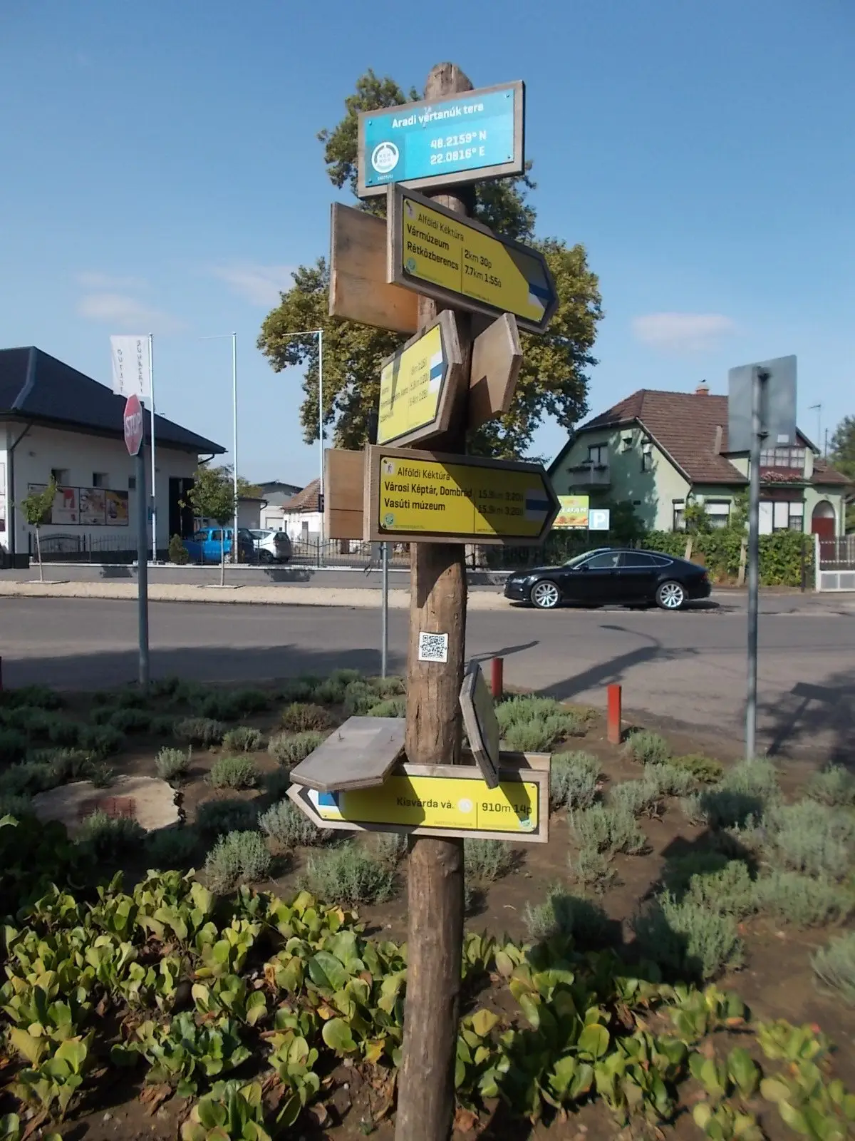
Alföldi Blue Trail, fingerpost. 48.2158° N 220816° E - Aradi vértanúk tere, Kisvárda , Szabolcs-Szatmár-Bereg County, Hungary.
Globetrotter19 · CC BY-SA 3.0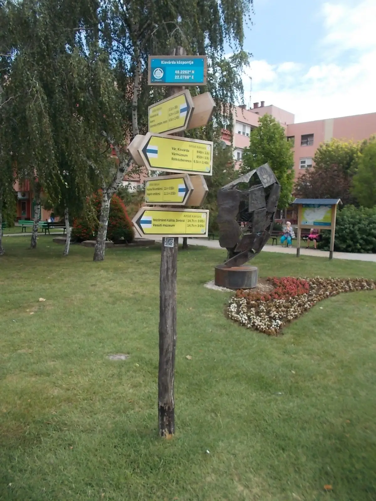
: National Blue Trail, fingerpost & János Kisvárdai memorial by József Szurcsik (2014 Steel, three meteer high). - Flórián Square, Kisvárda, Szabolcs-Szatmár-Bereg County, Hungary.
Globetrotter19 · CC BY-SA 3.0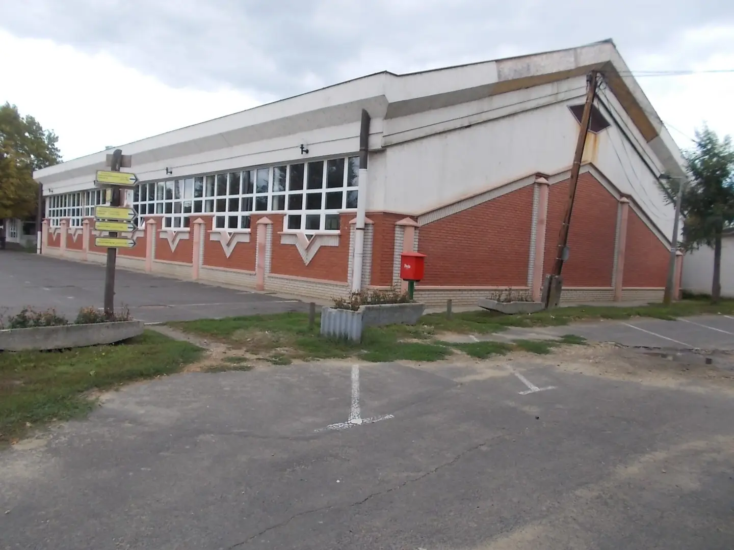
Várfürdő (lit. Castle Bath) - Városmajor Street, Kisvárda, Szabolcs-Szatmár-Bereg County, Hungary.
Globetrotter19 · CC BY-SA 3.0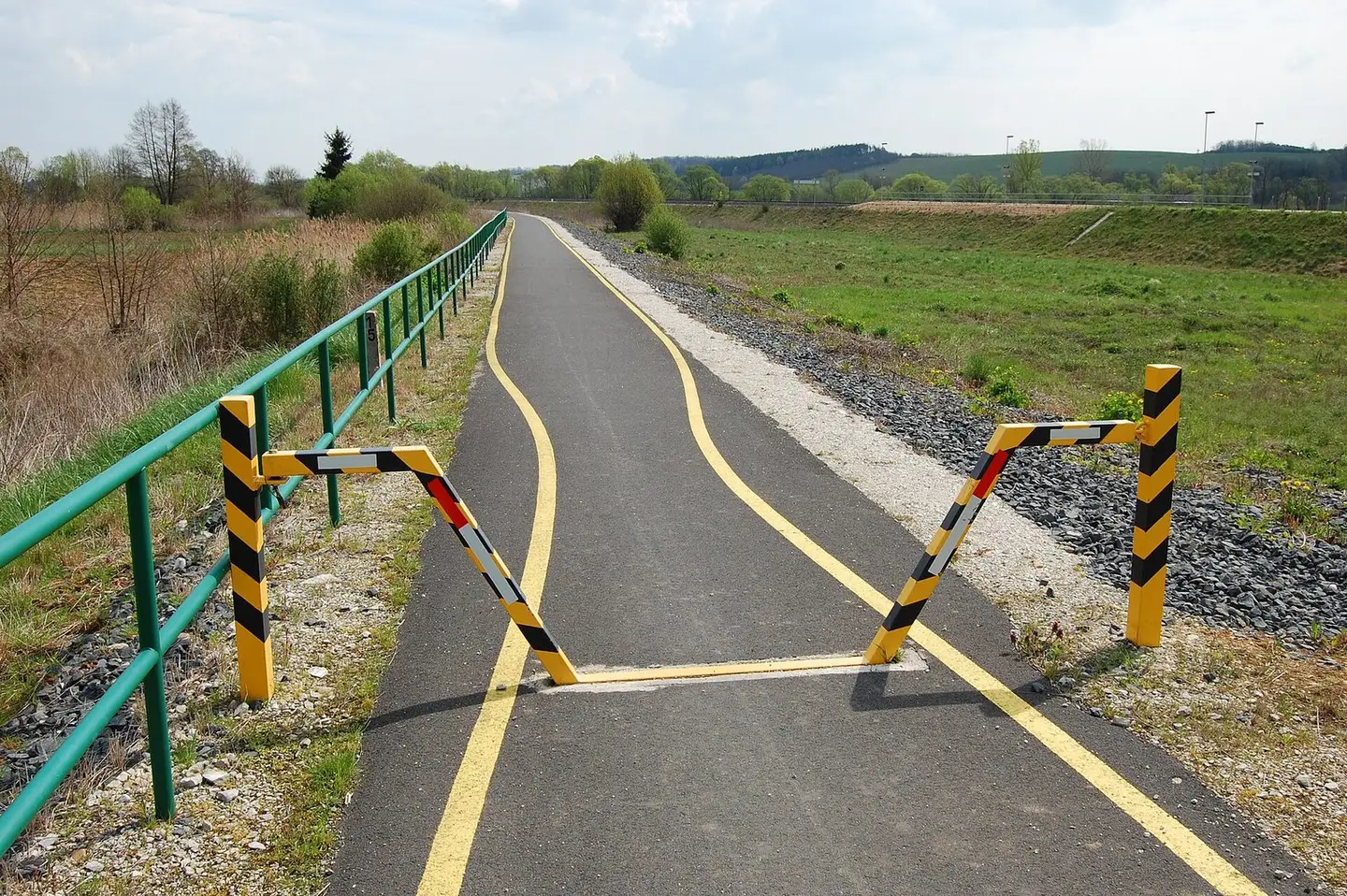
The Zala-Valley Bikeway near Zalalövő in Hungary
Nemetheger · CC BY-SA 4.0
ev6 symbol
Monsieur Fou · Public domain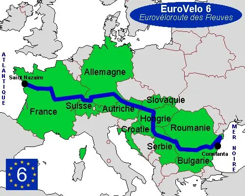
map of EV6
Monsieur Fou · Public domain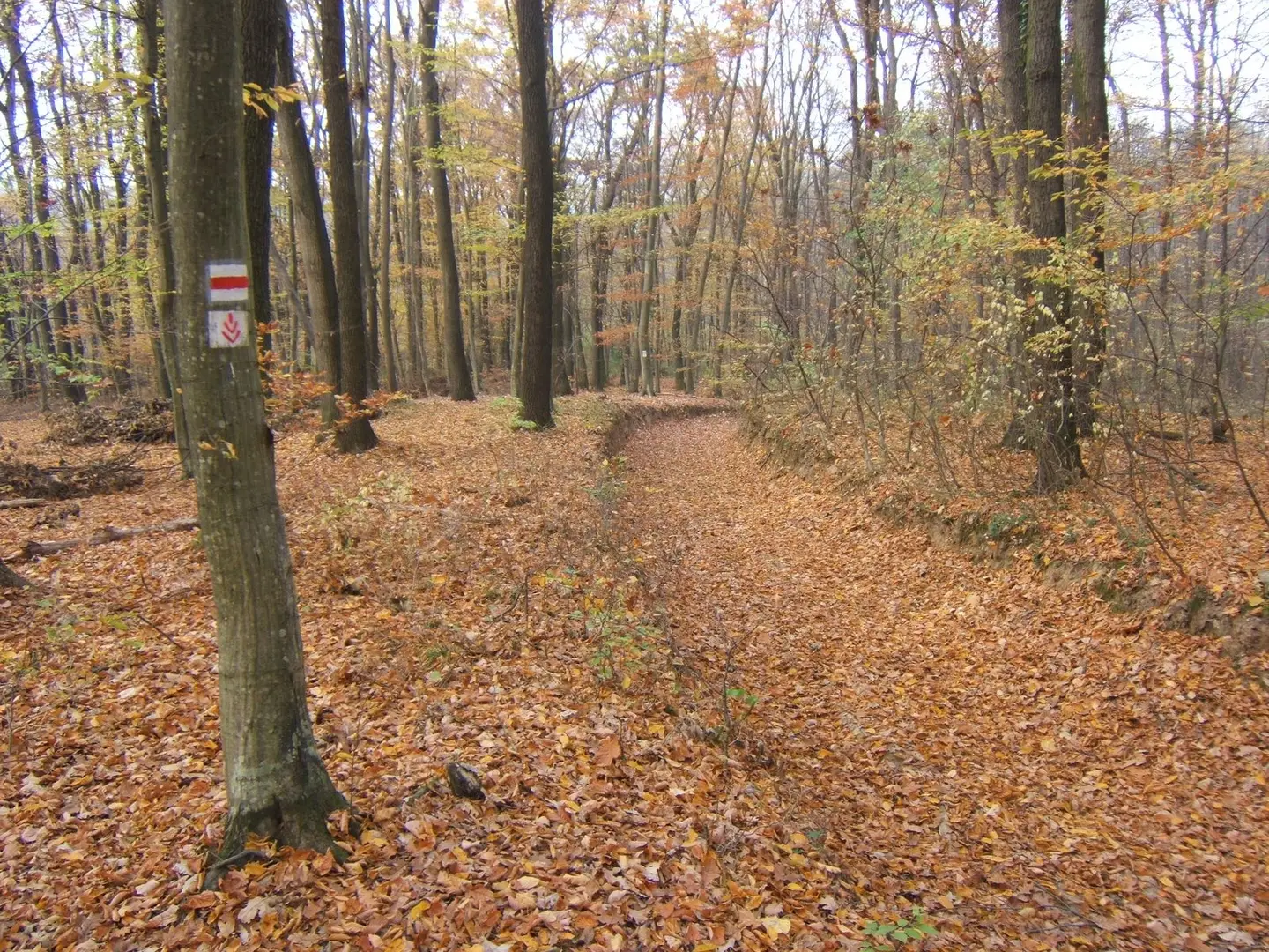
Bőszénfa ? forest, part of Dél-Dunántúli Piros Túra (~South Transdanubia Red Tour) is a long-distance hiking path (322,9 km) in Tolna, Baranya and Somogy Conty
Zerind · CC0Bu filtrelerle eşleşen görsel bulunamadı. Filtreleri temizleyerek yeniden keşfedin.